
Real-Time Geospatial Command & Control
Unified situational awareness for ports, airports, cities, and critical infrastructure — across Web, iOS, Android, and Windows.
Explore the Platform →Why GeoSightOps?
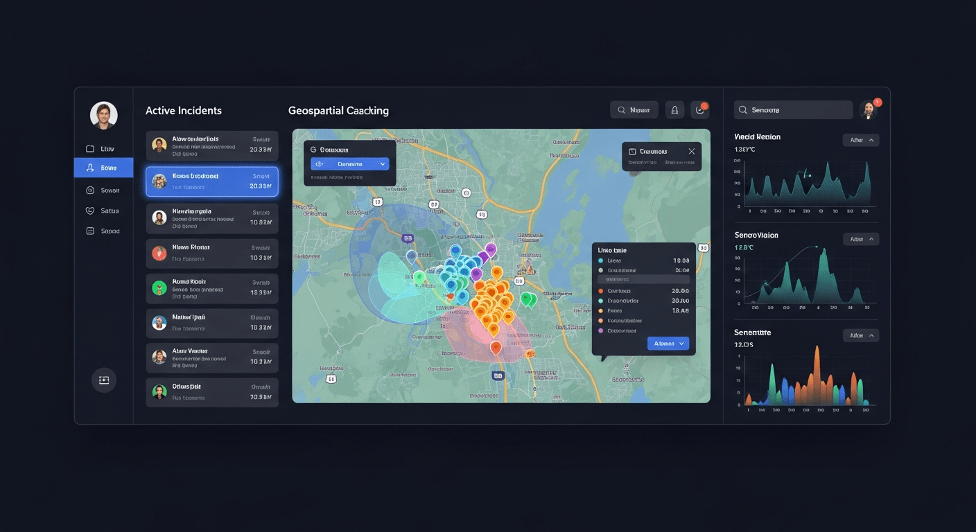
GeoSightOps is a self-hosted or cloud-based geospatial command and control platform built by TechMaven Geospatial. It delivers a Common Operating Picture and real-time situational awareness for organizations that manage complex, multi-agency operations.
Unlike platforms that lock you into a single GIS vendor, GeoSightOps lets you define the rules. You set the thresholds, configure the geofences, and choose which data sources matter. When a condition is triggered, GeoSightOps delivers actionable alerts via SMS, email, or push notification.
The result: faster decisions, fewer distractions, and a command team that acts on intelligence instead of reacting to noise.
Built for the Organizations That Need It Most
Port Authorities
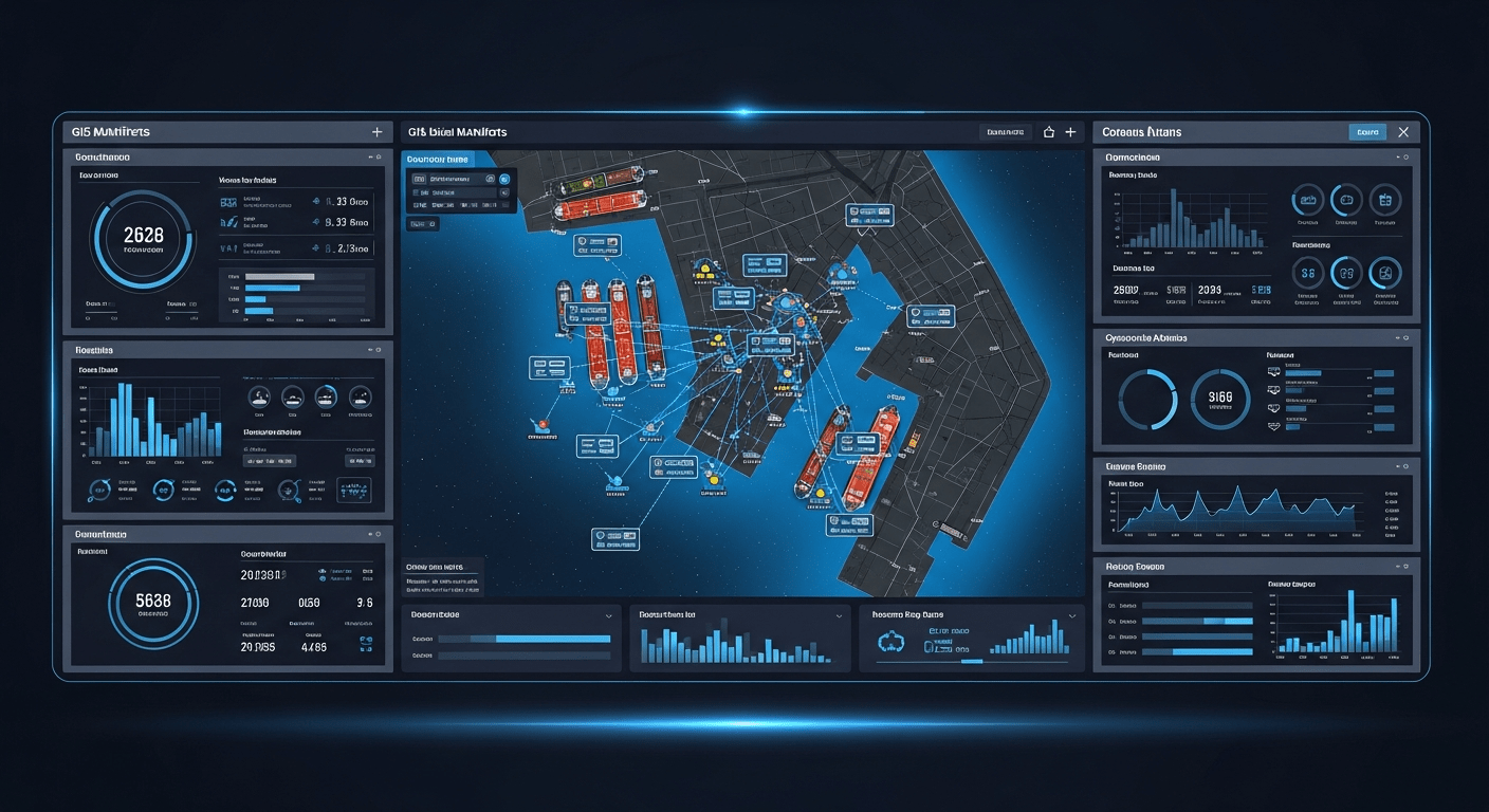
Real-time vessel tracking via AIS, berth management, perimeter geofencing, multi-agency coordination for harbor operations.
Learn More →Airport Operations
Airside and landside situational awareness across runways, taxiways, aprons, and terminals.
Learn More →Public Safety Agencies
NIMS ICS-compliant incident command with built-in FEMA forms, CAD/RMS integration, and Blue Force Tracking.
Learn More →Sports & Entertainment Venues
Crowd management, transportation tracking, perimeter security, and real-time communication for event operations.
Learn More →University & Corporate Campuses
Indoor and outdoor asset tracking, incident reporting, geofencing for restricted areas, and emergency notification.
Learn More →Critical Infrastructure
IoT sensor monitoring for utilities, oil and gas, water treatment, and energy facilities with rules-engine alerts.
Learn More →Platform Capabilities
Everything you need for real-time command, control, and coordination — in a single platform.
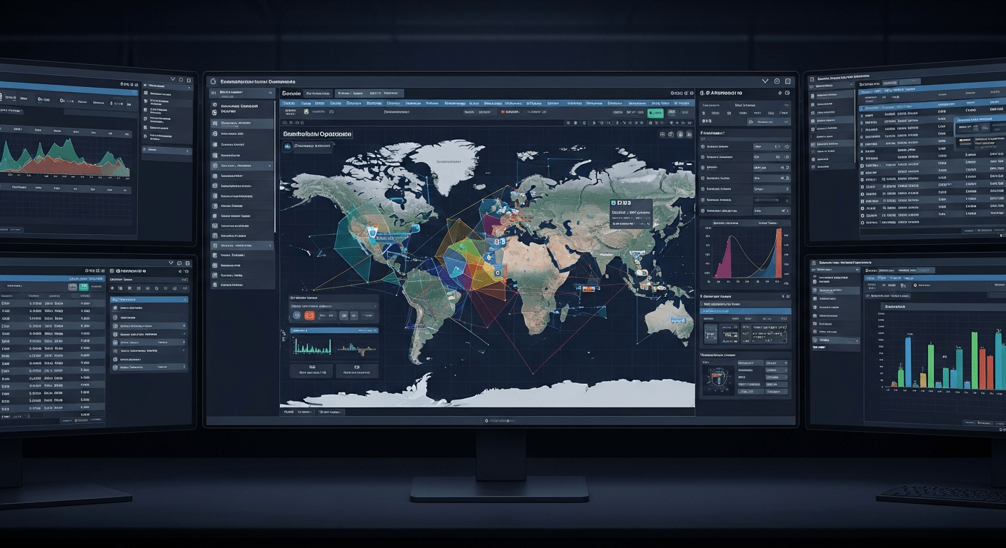
Common Operating Picture
Learn More →- Assets, incidents, sensors, and video feeds unified on a single map
- Role-based layers control what each user sees
- Real-time data from AIS, GPS, IoT, TAK, and mobile devices
- Shared understanding across agencies and jurisdictions
Smart Monitoring & Alerts
Learn More →- Event-driven data processing for AIS, vehicles, personnel, and IoT sensors
- Business rules, triggers, and threshold-based alerting
- Alerts delivered via SMS, email, and push notification
- Geofencing with entry/exit notifications for people, vehicles, and vessels
Map-Based Incident Management
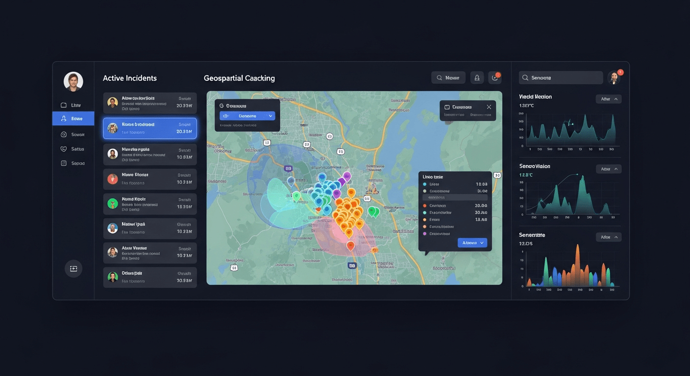
Learn More →- Create and manage incidents directly on the map
- Assign resources and track response status in real time
- Annotate with arrows, markers, shapes, and buffers
- CAD and RMS integration for seamless dispatch workflows
Custom Dashboards
Learn More →- Unlimited dashboards for operations, command, security, and maintenance
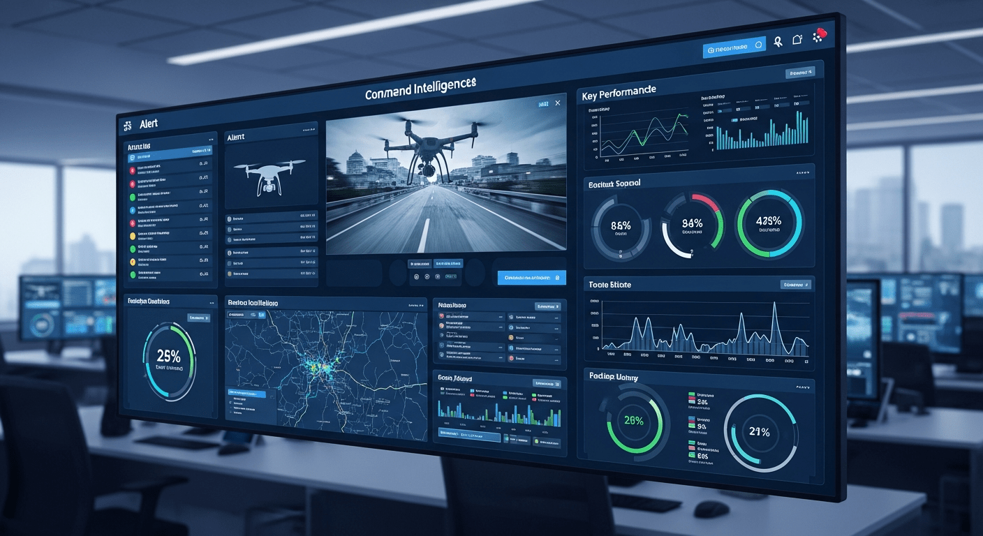
- Widgets: maps, live video, external web pages, alerts, charts
- Resizable, drag-and-drop layouts with role-based permissions
- Real-time KPIs, alert panels, and incident status boards
Live Video & AI Analytics
Learn More →- Add and manage live camera feeds on the map and dashboards
- Protocols: RTSP, RTMP, DASH, WebRTC, HLS, YouTube
- AI-powered video analytics and object detection
- NVR and security camera integration for computer vision
NIMS ICS & FEMA Forms
Learn More →- Aligned with NIMS and Incident Command System
- All FEMA ICS forms built in: ICS 201–221
- Core IAP forms: ICS 202, 203, 204, 205, 206
- PDF export for official documentation
2D, 3D & Indoor Mapping
Learn More →- Seamless 2D/3D map switching
- 3D Tiles, Gaussian Splats, GLB models, i3S scene layers
- IMDF for terminals, malls, and large facilities
- Multi-floor visualization with indoor asset tracking
Forms & Reports with AI
Learn More →- Drag-and-drop form builder
- AI-powered form generation
- Comprehensive permissions management
- PDF reports and data export
IoT & Sensor Integration
Learn More →- ThingsBoard, Nebula Stream, AWS IoT, Azure IoT
- MQTT, HTTP, WebSockets, CoAP, AMQP, Modbus, OPC UA, LoRaWAN
- Rules engine for equipment faults and safety violations
- Telemetry visualized on maps and dashboards
TAK & Satellite Integration
Learn More →- ATAK, WinTAK, iTAK, WebTAK interoperability
- Blue Force Tracking and CoT bi-directional TAK server sync
- Cursor on Target messaging
- Satellite devices: Garmin InReach, SPOT, ACR/Artex
One Platform. Every Device.
GeoSightOps runs natively on Web, iOS, Android, and Windows.
Web
Full command and control from any modern browser. No installation required.
iOS
Native iPhone and iPad app with offline map support and push alerts.
Android
Field-ready Android app for tablets and handheld devices.
Windows
Desktop client for control rooms and fixed command post installations.
New & Coming Soon
GeoSightOps 2.0 is live — and the roadmap keeps growing.
AI-Powered Situational Awareness
Machine learning overlays that surface anomalies, predict congestion, and flag threats before they escalate.
3D Digital Twin Support
Full 3D building and terrain visualization for indoor and outdoor command environments.
Real-Time AIS Processing
Live vessel tracking with AIS data processed at scale.
Predictive Analytics Engine
AI-driven predictions for crowd flow, vessel arrivals, and incident likelihood.
Automated Incident Reports
One-click NIMS/ICS-compliant reports from live operational data.
Enhanced TAK Integration
Bidirectional sync with TAK Server for full interoperability with defense networks.
Connect to the Systems You Already Use
GeoSightOps integrates with 650+ services through an API-first architecture.
- REST
- WebSocket
- Server-Sent Events (SSE)
- gRPC
- GraphQL
- Webhooks
- Cursor on Target (CoT)
- Apache Kafka
- MQTT
- AMQP 0.9.1
- RabbitMQ
- ActiveMQ
- NATS
- AWS Kinesis
- Azure Event Hub
- Azure Service Bus
- OGC Moving Features
- General Transit Feed Specification
- Automated Vehicle Location (AVL)
- Satellite GPS tracker feeds
- JSON, GeoJSON
- XML
- CSV / TSV
- RSS / GeoRSS
- KML
- GeoTIFF / COG
- Parquet
- Azure IoT Hub
- AWS IoT
- ThingsBoard
- Nebula Stream
- OGC SensorThings API
- OGC Sensor Observation Service
- ESRI ArcGIS Enterprise / Online
- OGC: WMS, WFS, WCS, OGC API Features
- Tile Layers: XYZ, TMS, WMTS
- GeoServer, MapServer, QGIS Server
- 3D Tiles (Cesium-style)
- i3S (ESRI 3D Scene Layers)
- GLB / glTF models
- Gaussian Splats (LiDAR)
- CAD (AutoCAD, Revit)
- BIM
- Nango & Steampipe: 650+ SaaS
- Foreign Data Wrapper
- Cloud-native file integration
- Webhooks and REST APIs
Custom Integrations via Webhooks
Any system with an API can be connected to GeoSightOps without modifying your existing infrastructure.
Why Organizations Choose GeoSightOps
NIMS ICS Compliant
FEMA standard forms built in, ready for accreditation
Integrates with What You Have
CAD, RMS, IoT, TAK, AIS, video systems, and 650+ data services
Self-Hosted or Cloud
Deploy on-premise, in the cloud, or hybrid with full data sovereignty
Multi-Platform
Web, iOS, Android, and Windows — meet your teams where they work
Affordable & Scalable
Enterprise-grade command and control at a price that works for any agency
No Vendor Lock-In
Supports ESRI ArcGIS and open-source GIS equally; your data stays yours
Custom Integrations
Webhook configuration and API-first architecture for any third-party system
Built by Operators, for Operators
Designed for the people who run operations, not just the people who buy software