Real-Time Analytics Engine
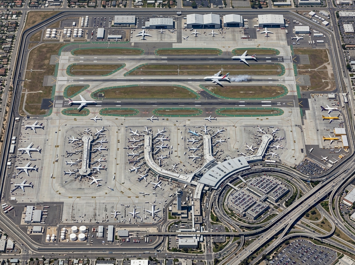
Live event and movement analytics — event correlation, geofence analytics, anomaly detection, and operational KPIs as data arrives.

GeoSightOps
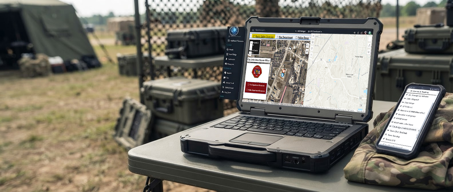
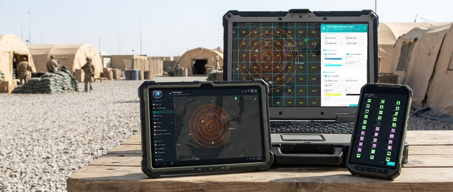
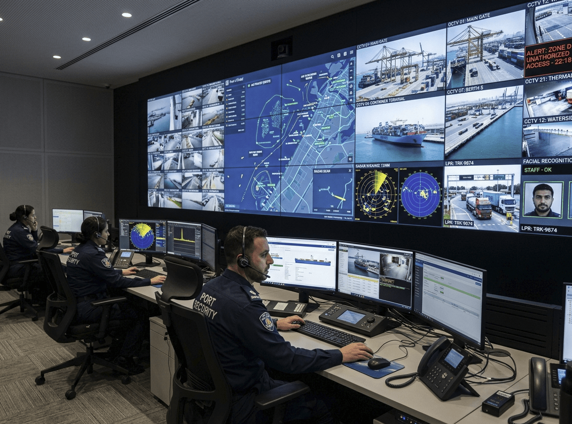
Unified situational awareness for ports, airports, cities, and critical infrastructure — across Web, iOS, and Android.
Real-time intelligence for command teams — built on GeoInsights ingestion, analytics, and enterprise GIS publishing.
Live event and movement analytics — event correlation, geofence analytics, anomaly detection, and operational KPIs as data arrives.
Speed, heading, route history, dwell time, stop detection, and route deviation for vehicles, vessels, aircraft, and field assets.
Publish and consume ESRI-compatible Moving Feature Server and Stream Server services with native WebSocket streaming.
No software-imposed feed limits — scale based on your infrastructure. Native ArcGIS Enterprise and ArcGIS Online integration.
NEW
Now available
Esri ArcGIS Experience Builder custom widget for Incident Management and TAK. Deploy to ArcGIS Online or ArcGIS Enterprise.
Short notes on product news, compliance, and new capabilities.
GeoSightOps supports Dingell Act Resource Tracking (DART) for the USDA Forest Service and the Department of the Interior (DOI). Agencies can run DART-aligned resource tracking on the same common operating picture used for day-to-day command and control.
That support runs through our team collaboration workflows and TAK capabilities, so field teams, dispatch, and partner agencies stay coordinated when tracking people, assets, and missions across jurisdictions.
GeoSightOps supports common computer-aided dispatch providers, including Tyler and Central Square. Agencies that do not already run a CAD can use TMG CAD / RMS.
Public safety data sharing follows the NIEM, EIDO, CAP, and EDXL interchange specifications.
The license includes desktop apps for Windows, Mac, and Linux, plus Flutter apps for iOS and Android. Forms, reports, assignments, tasks, and map updates keep working offline and sync when connectivity returns.
TAK-enabled offline radios include IP MANET, Meshtastic LoRa, and BTECH UV-PRO. The TMG TAK server is included natively, not sold as an optional module.
The portal publishes public or private web maps, dashboards, and custom apps. GeoTacticalInsights adds 3D map exploration and geospatial analytics. A dedicated web app accepts crowdsourced public submissions.
A messaging gateway sends operational updates to Slack, Telegram, WhatsApp, Signal, email, and Microsoft Teams. Incident notes are editable Markdown files, and uploaded office documents can be viewed and edited in place.
Automated assistance and command board checklists support day-to-day operational workflows.
Wearable apps support Garmin Fenix models and Apple Watch. Unmanned aircraft operations include counter-UAS, drone-as-first-responder workflows, and geospatial full-motion video analytics.
Deployments use Kubernetes cloud-native autoscaling on Amazon Web Services, Microsoft Azure, Google Cloud, and other locations.
The same operating picture serves electrical, fiber, oil and gas, and water utilities, plus industrial plants, campuses, data centers, airports, rail and transit, wildland fire, stadiums, and healthcare. A hosted EventOps SaaS offering is planned for event operations.
GeoInsights ingests unlimited live data streams, performs advanced analytics, and publishes enterprise GIS services. GeoSightOps delivers command-and-control, situational awareness, incident management, and operational workflows on top of that intelligence engine.
Ingest, analyze, and publish — data pollers, movement intelligence, rules engine, WebSocket streaming, and ArcGIS layer integration.
Command and control — Common Operating Picture, incident command, dashboards, alerts, NIMS ICS workflows, and multi-agency coordination.
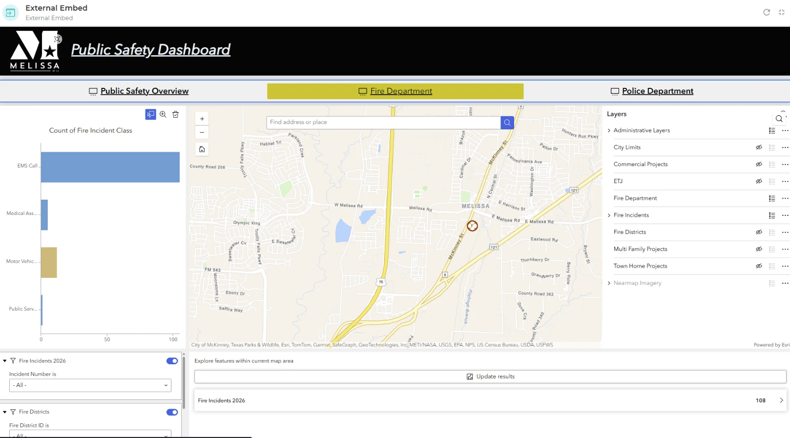

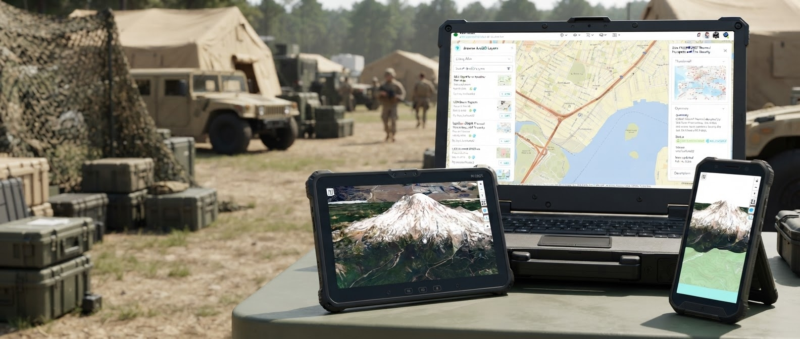
Desktop dashboard + mobile incident command.
 Web
Web
 iOS
iOS
 Android
Windows
Mac
Linux
Android
Windows
Mac
Linux
Follow one ops story: a unit drives, GeoSightOps scans the geofence, cameras lock on, a drone confirms from above, TAK shares to the field, and the board closes the loop.
The license includes the web command platform, desktop apps for Windows, Mac, and Linux, and Flutter apps for iOS and Android. Field work continues offline and syncs when connectivity returns.
Browser
Full GeoSightOps command and control from any modern browser.
iOS · Android · Windows · Mac · Linux
Offline-first Flutter mobile apps and desktop apps for forms, tasks, maps, and TAK radio sync.
ATAK / WinTAK / iTAK
Native TAK server included. Connect TAK field clients, including IP MANET, Meshtastic LoRa, and BTECH UV-PRO radios.
Also built for electrical, fiber, oil and gas, and water utilities, industrial plants, wildland fire, data centers, rail and transit, and healthcare campuses. Hosted EventOps SaaS is planned for event operations.
Everything you need for real-time command, control, and coordination — in a single platform.
GeoSightOps 2.0 is live — powered by the GeoInsights engine for real-time ingestion, analytics, and enterprise GIS publishing. Command teams now get movement intelligence, live dashboards, ESRI-compatible streaming, and unlimited feed scale across Web, iOS, and Android. Below is what's shipping today and what's next on the roadmap.
Movement intelligence, event correlation, anomaly detection, and live KPIs from GeoInsights streaming services.
ESRI-compatible Moving Feature Server and Stream Server — consumed directly in ArcGIS Enterprise, ArcGIS Online, and ArcGIS Pro.
Send operational updates to Slack, Telegram, WhatsApp, Signal, email, and Microsoft Teams.
Public and private web maps, dashboards, and custom apps, plus crowdsourced submissions and 3D geospatial exploration.
Live vessel tracking with automatic identification system data processed at scale.
No software-imposed feed limits — scale based on your infrastructure with native ArcGIS Enterprise and ArcGIS Online integration.
Drone operations, counter-UAS, drone-as-first-responder workflows, and geospatial full-motion video analytics.
Garmin Fenix and Apple Watch apps, plus automated assistance and command board checklists.
The TMG TAK server ships with the license. ATAK, WinTAK, and iTAK stay on the same operational picture.
Cloud-native autoscaling on AWS, Azure, Google Cloud, and other locations.
Machine learning overlays that surface anomalies, predict congestion, and flag threats before they escalate.
Editable Markdown incident notes, plus in-place viewing and editing for office documents.
GeoSightOps integrates with 650+ services, databases, and data platforms through an API-first architecture. Custom integrations are supported via webhooks and REST APIs. CAD support includes Tyler, Central Square, NIEM, EIDO, CAP, and EDXL.
NEW
Now available
Configure and manage real-time data feeds with an MCP Server and Claude, Cursor, and Codex Skills.
 MCP Server
 Claude
 Cursor
 Codex
Codex
NEW
Now available
Tyler, Central Square, and TMG CAD / RMS. Interchange specifications: NIEM, EIDO, CAP, and EDXL.
Any system with an API can be connected to GeoSightOps through webhook configuration and the REST API-first architecture — without modifying your existing infrastructure.
FEMA standard forms built in, ready for accreditation
CAD, RMS, IoT, TAK, AIS, video systems, and 650+ data services
Deploy on-premise, in the cloud, or hybrid with full data sovereignty
Available on Web, Windows, Mac, Linux, iOS, and Android, with offline-first field apps included.
Enterprise-grade command and control at a price that works for any agency
Supports ESRI ArcGIS and open-source GIS equally; your data stays yours
Webhook configuration and API-first architecture for any third-party system
Designed for the people who run operations, not just those who buy software
Self-hosted unlimited users $45,000 / year. Q4 2026 promo: $10,000 annual license (web, desktop, mobile, back-end). Full details on the Pricing page.