The Common Operating Picture in GeoSightOps provides a single, unified map view where every relevant data source is layered, synchronized, and visible in real time. Every operator — from the Incident Commander to field responders — sees the same operational truth.
COP on the map
One shared map — dashboard controls, layer swipe, and map actions so every operator works from the same picture.
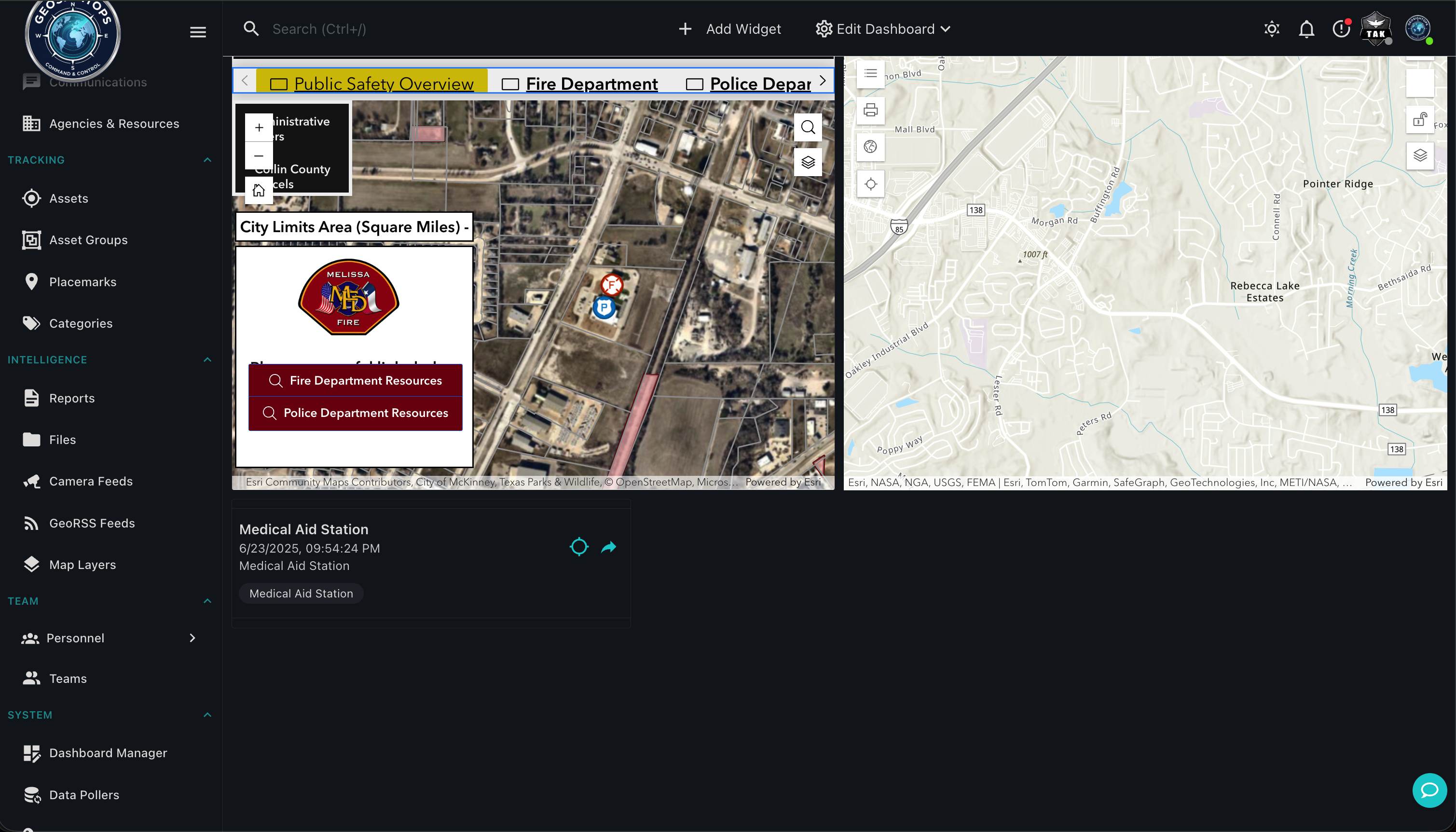
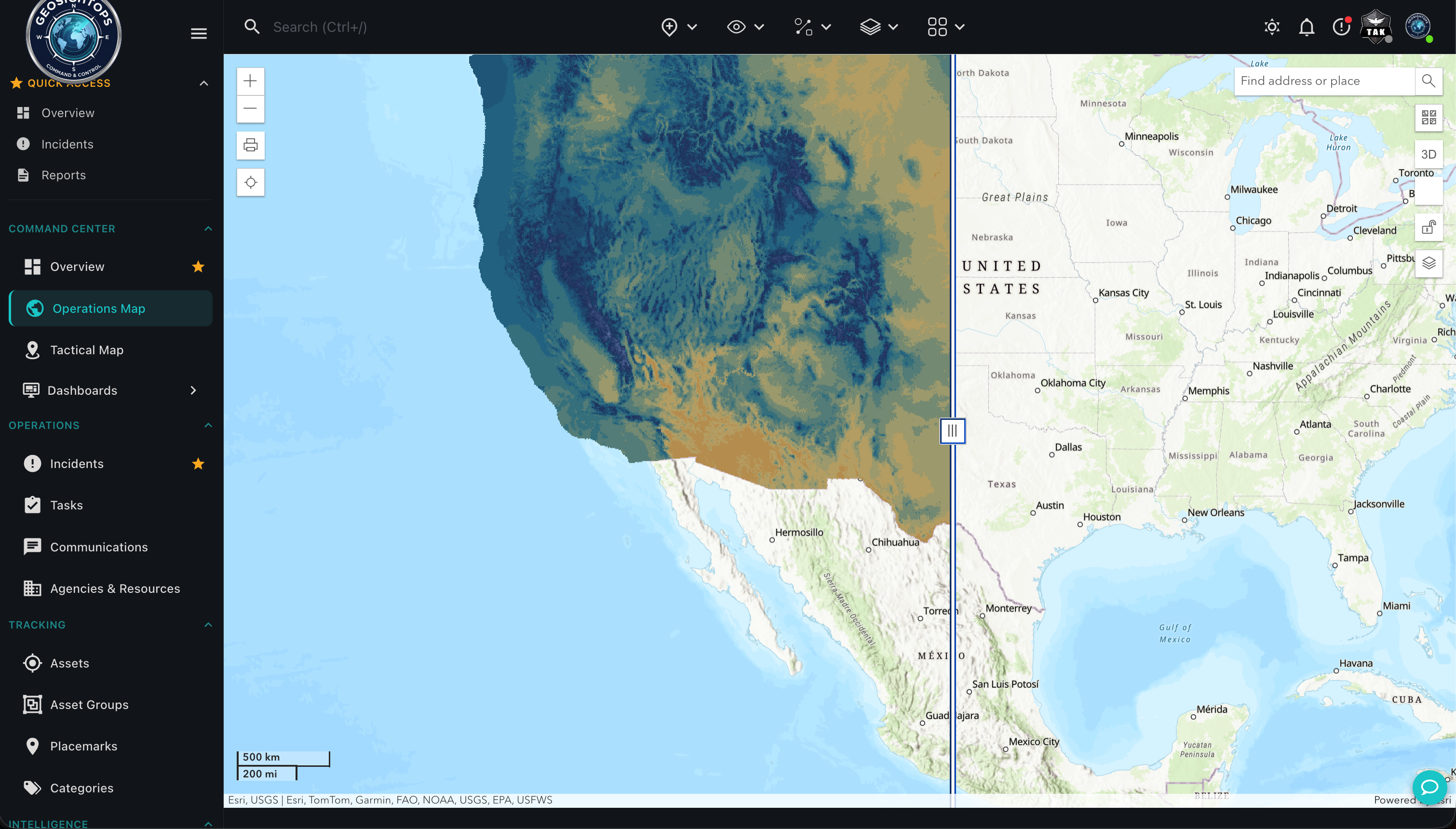
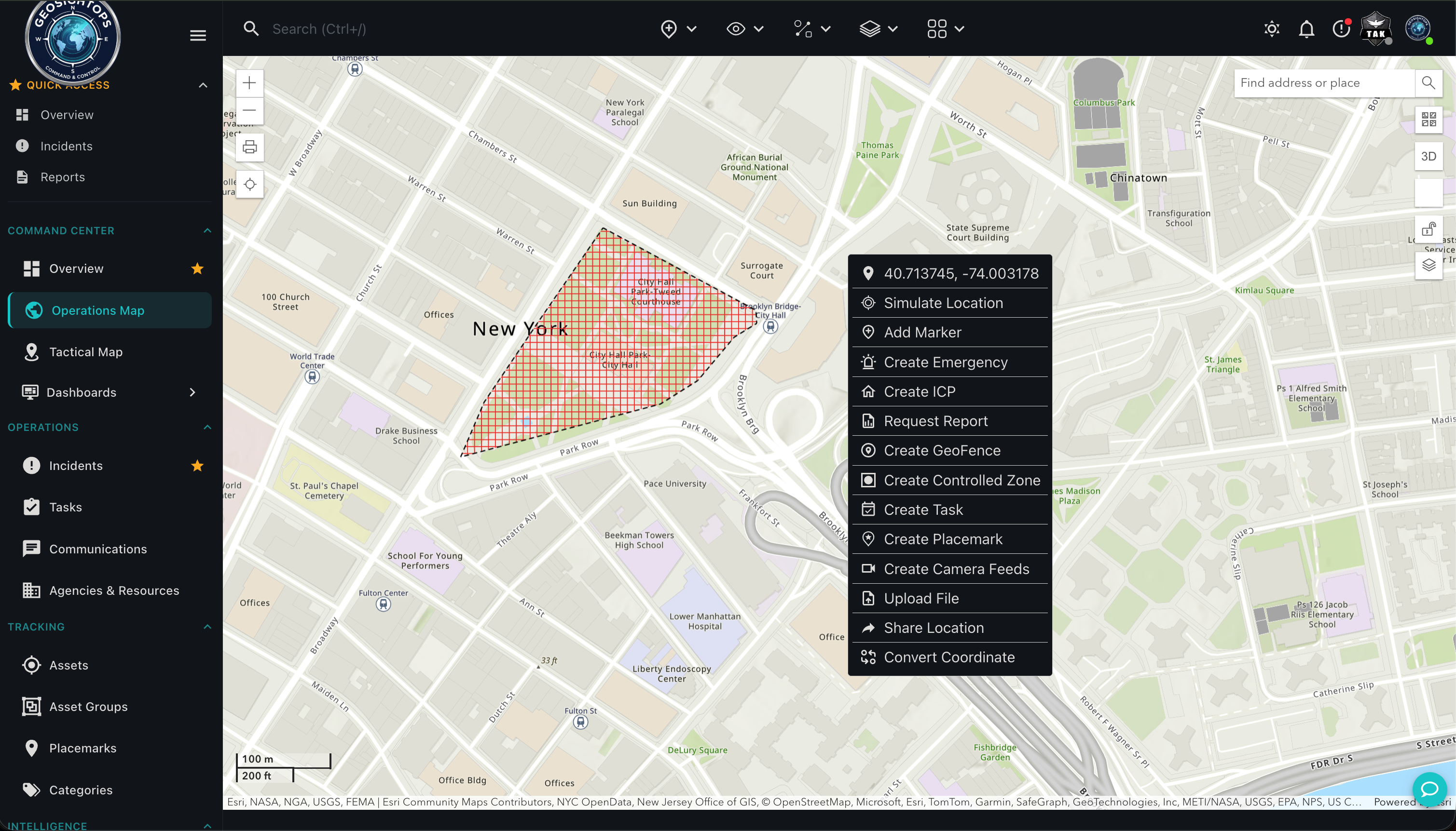
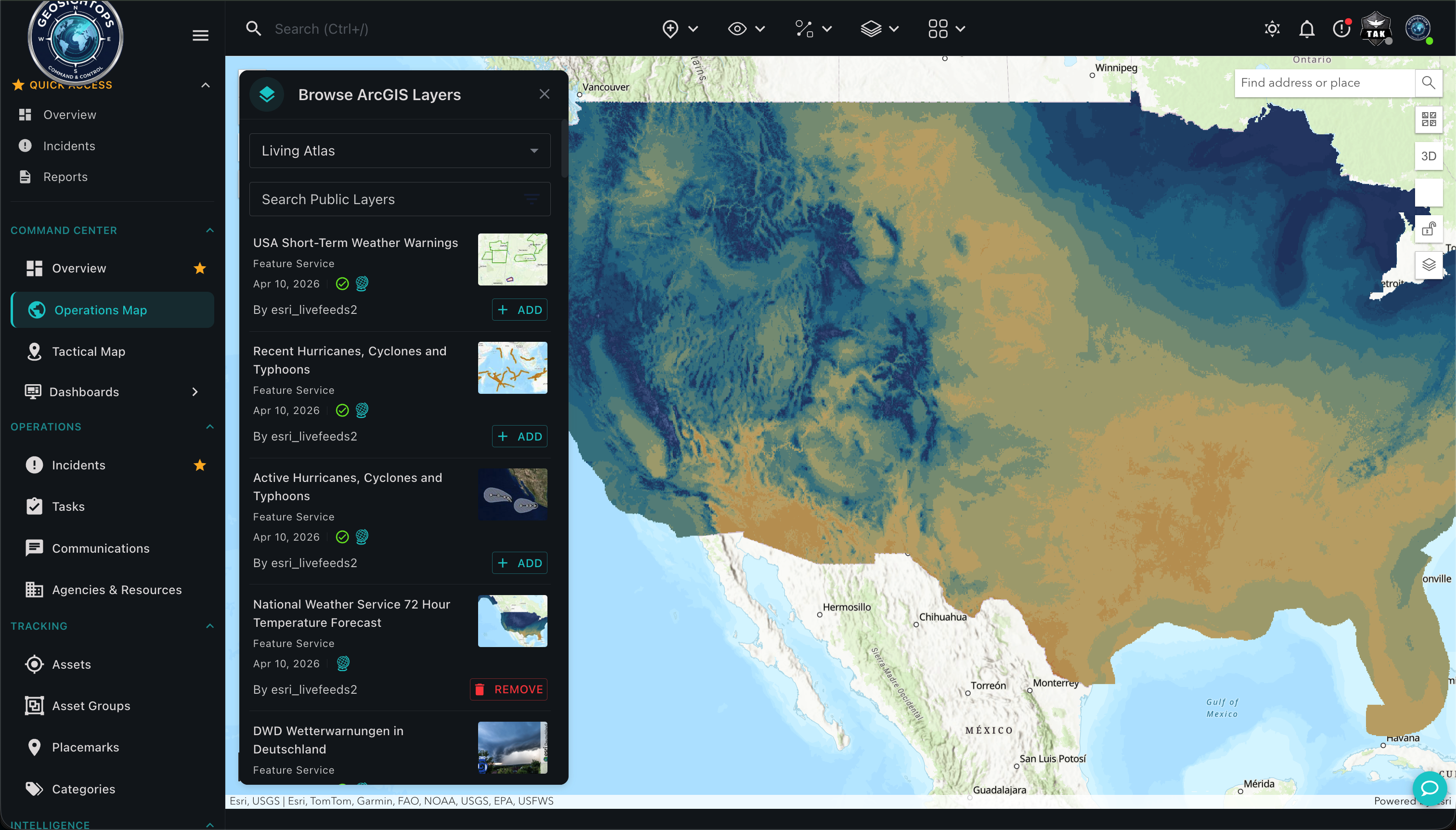
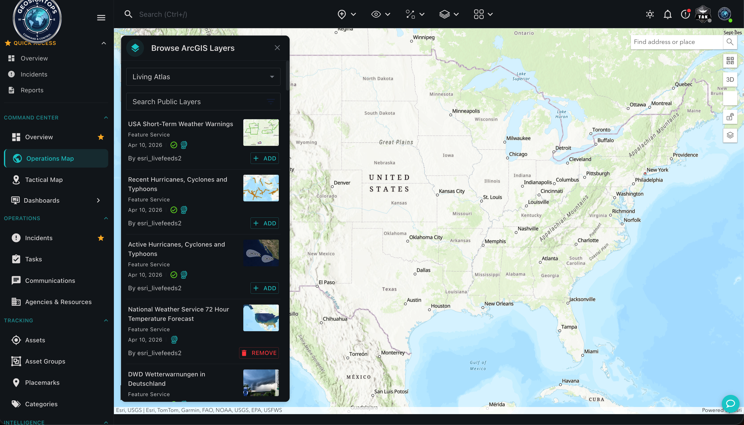
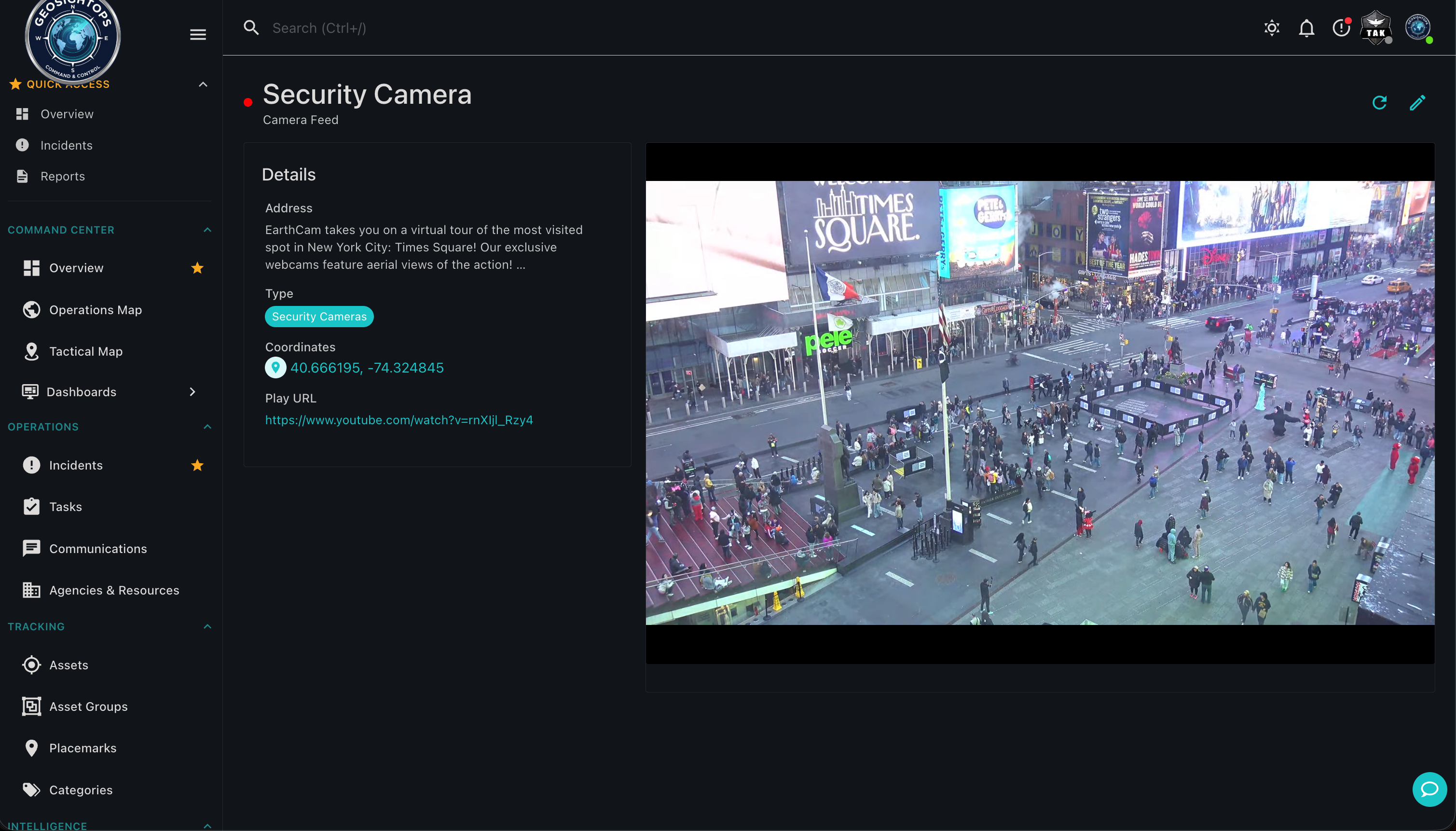
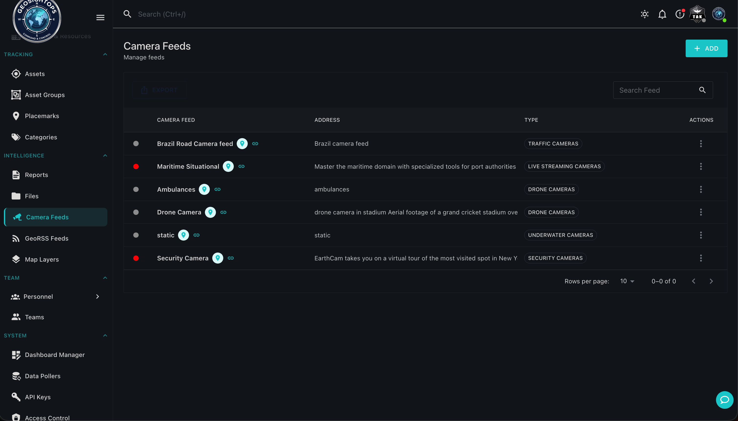
Layers, basemaps & feeds
3D basemaps, ArcGIS layers, and live camera feeds layered into the same operating picture.
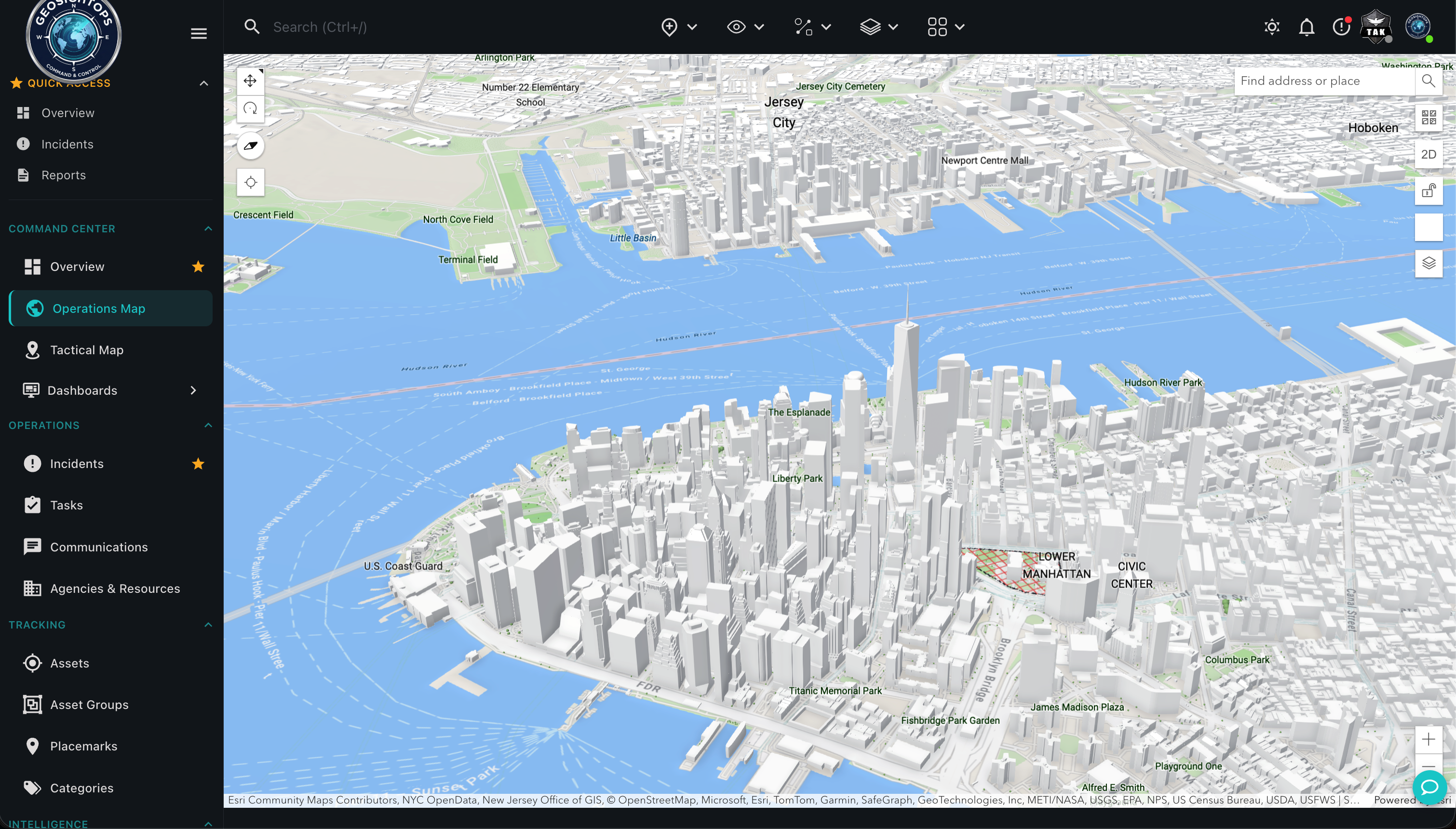
Analysis & operations
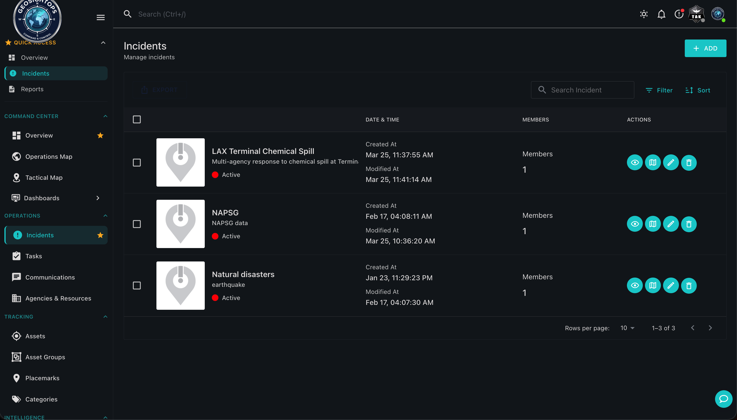
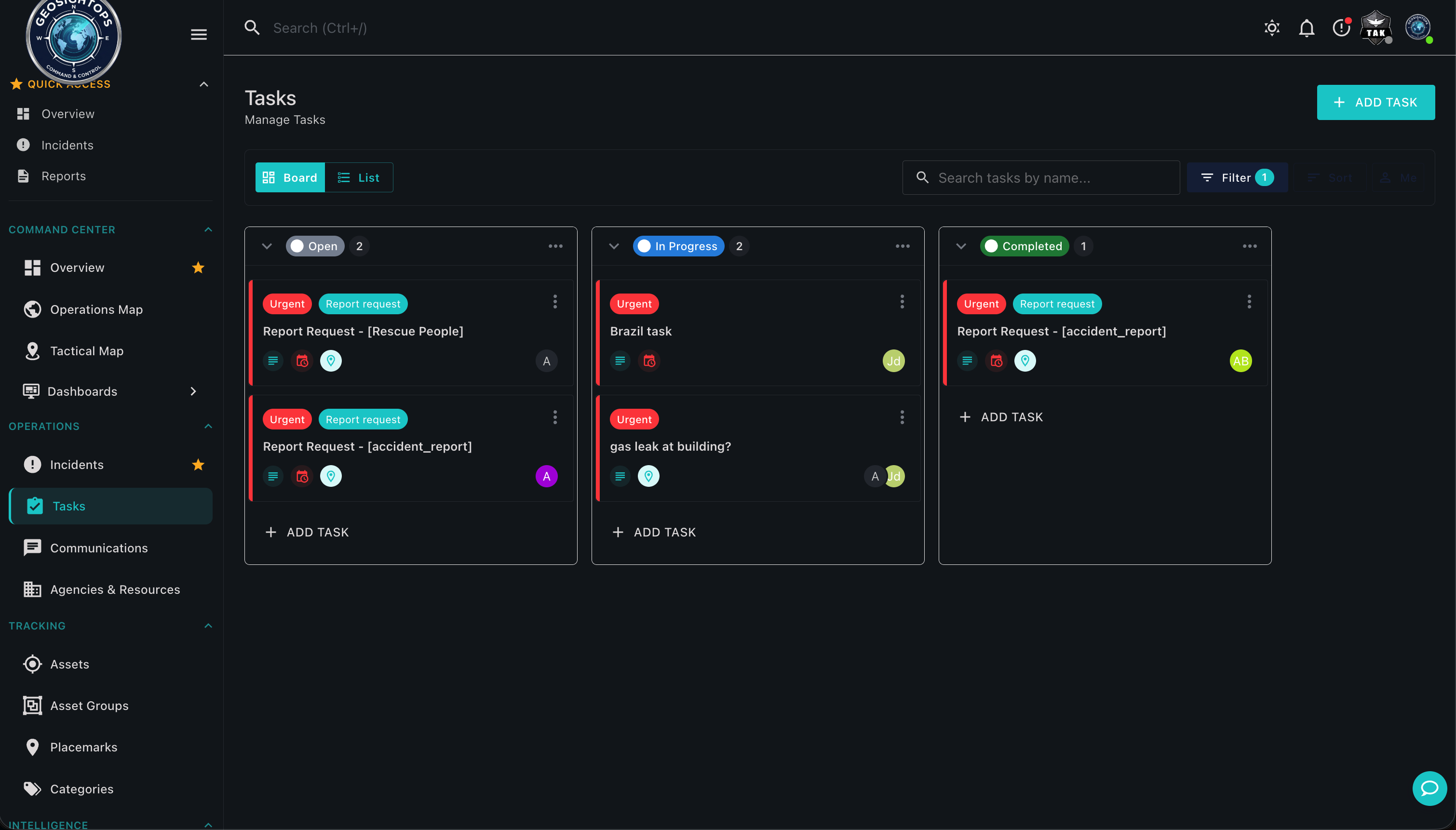
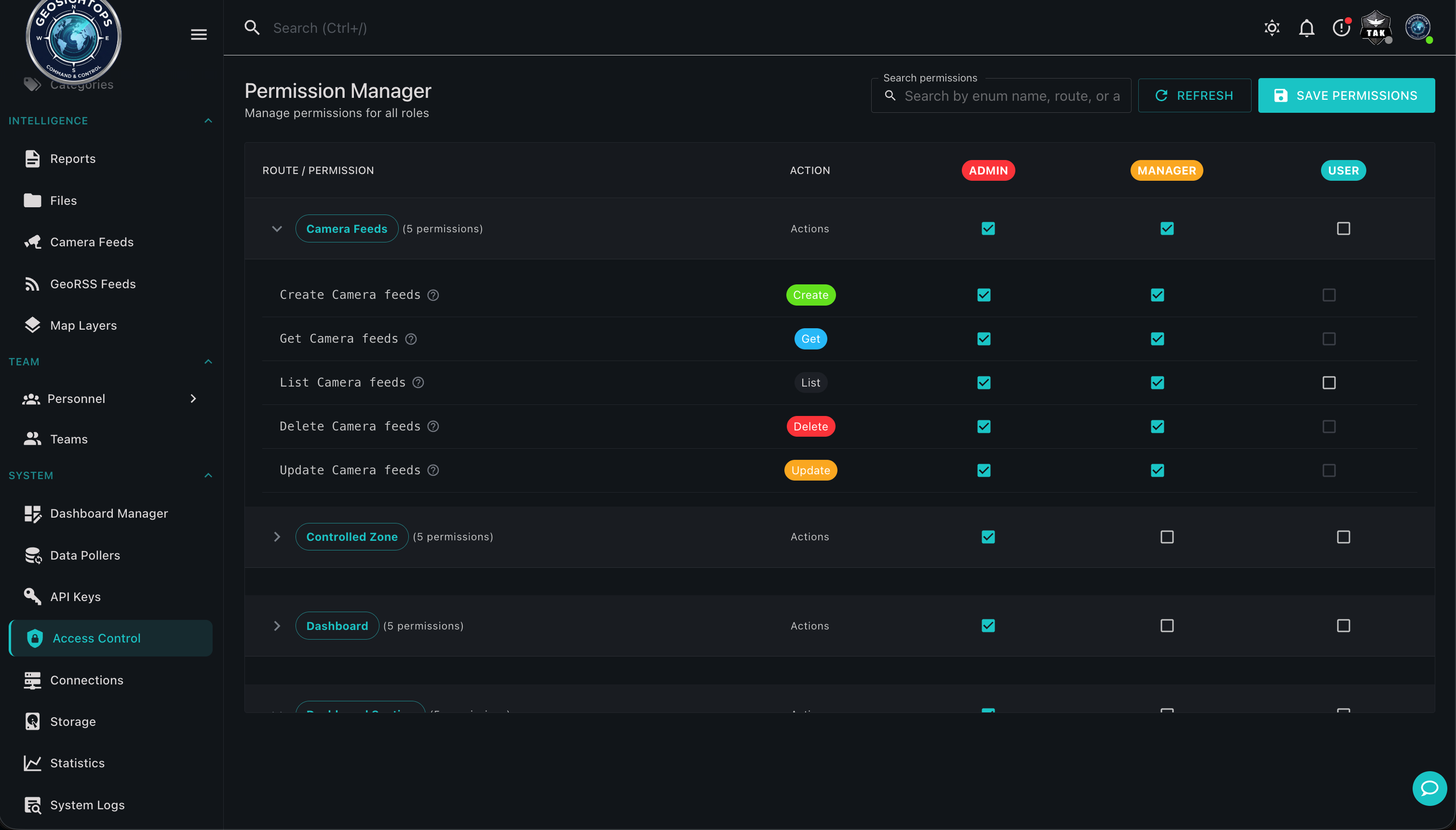
Movement tracks, spatial analysis, incidents, tasks, and role-based views — the COP as a decision surface.
Capabilities
- Unified Map View — Assets, incidents, sensors, camera feeds, and personnel positions displayed on a single interactive map
- Role-Based Layers — Control which data layers each user role can view, ensuring operators see only what is relevant to their function
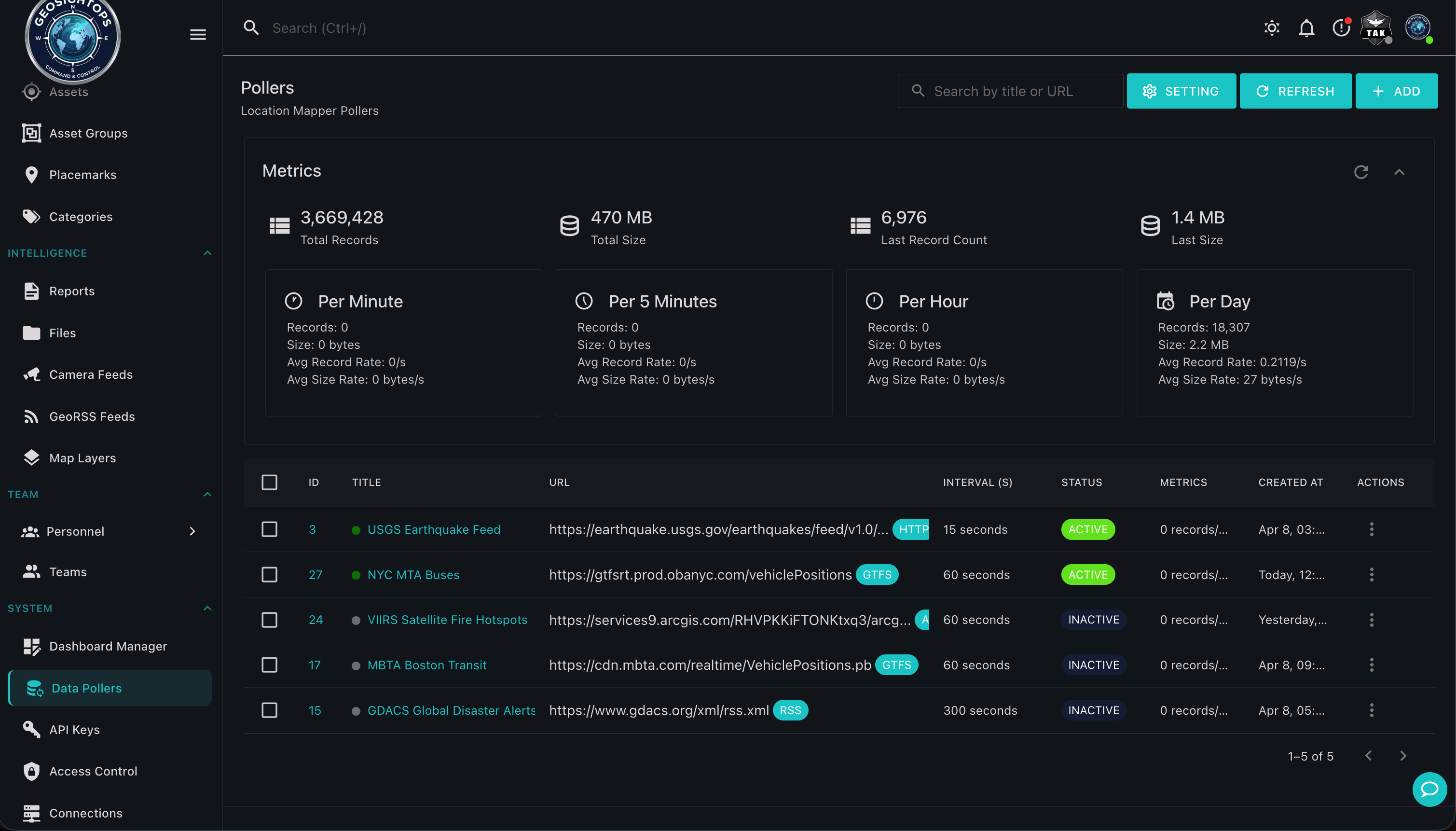
- Real-Time Data Feeds — Live ingestion from AIS (vessel tracking via Software-Defined Radio), GPS (vehicle and personnel positions), IoT sensors, TAK ecosystem (ATAK, WinTAK, iTAK, WebTAK), and mobile devices (iOS and Android)
- Multi-Agency Shared View — Multiple agencies and jurisdictions can share the same COP with appropriate access controls
- Dynamic Filtering — Filter map content by asset type, status, time range, zone, or custom attributes
- Bookmarks and Saved Views — Save specific map extents and layer configurations for rapid recall during operations
Real-Time Data Sources
- AIS vessel tracking via Software-Defined Radio (SDR) receivers
- GPS vehicle and personnel positions from mobile devices and hardware trackers
- IoT sensor streams — environmental, infrastructure, and security sensors
- TAK ecosystem — ATAK, WinTAK, iTAK, WebTAK Cursor on Target (CoT) feeds
- Live video feeds from cameras, drones, and mobile devices
- CAD and Records Management System (RMS) integration
Custom Integrations via Webhooks
GeoSightOps supports custom integrations with any third-party system through webhook configuration and its API-first architecture. Connect your existing tools without replacing them.
Why It Matters
- Eliminates information silos between agencies and departments
- Provides a single source of truth during multi-agency incidents
- Reduces decision latency by putting every relevant data point on one screen
- Supports NIMS ICS requirements for shared situational awareness
Ready to see GeoSightOps in action?
Schedule a live demo and we’ll show you exactly how GeoSightOps integrates with your existing systems.