GeoSightOps processes high-volume, multi-source data streams and surfaces only the events that matter. You define the business rules. You set the thresholds. You configure the geofences. When a condition is met, GeoSightOps triggers an alert — not before.
Event-Driven Data Sources
- AIS vessel data — position, speed, heading, destination, and estimated time of arrival (ETA)
- GPS vehicle and personnel tracking feeds
- IoT sensor streams — temperature, pressure, air quality, water level, and motion
- SCADA system telemetry
- Camera analytics events — object detection and perimeter breach
Business Rules & Threshold Engine
- Define rules based on any data attribute — speed, location, time, sensor reading, or status
- Set thresholds with configurable severity levels: informational, warning, critical
- Combine multiple conditions with AND/OR logic
- Schedule rules to activate during specific time windows or operational phases
- Apply rules to specific asset types, zones, or groups
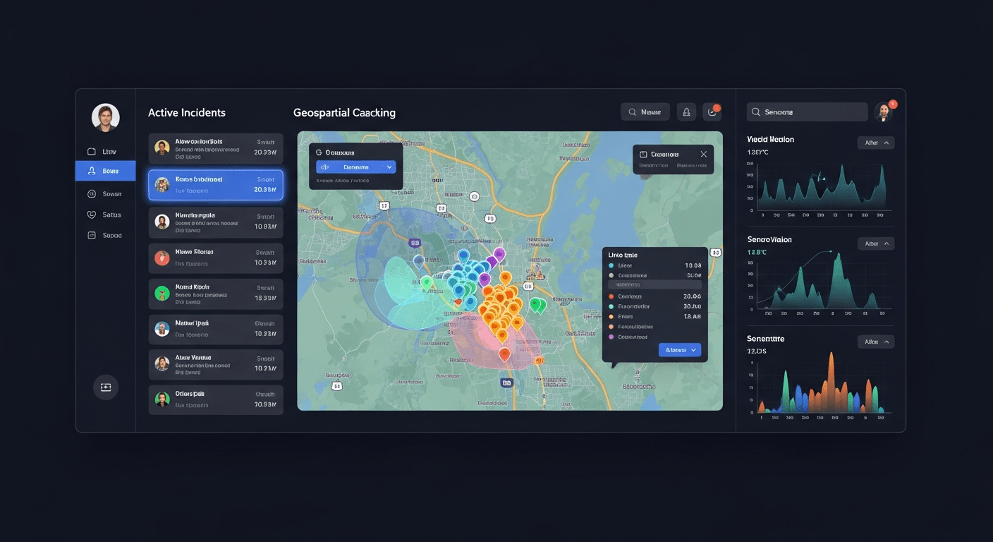
Geofencing & Control Zones
- Draw geofences directly on the map — polygons, circles, or corridor zones
- Zone types: restricted, security, operational, public, and custom
- Entry and exit alerts for people, vehicles, and vessels
- Speed-based alerts within designated zones
- Port and airport safety rule enforcement through geofenced boundaries
Notification Delivery
- SMS — Text messages to designated personnel or groups
- Email — Formatted alert emails with incident details and map links
- Push Notifications — Real-time push to iOS and Android field apps
- Dashboard Alerts — Visual alerts displayed on dashboard widgets and the Common Operating Picture
- Webhook Triggers — Forward alerts to external systems via configurable webhooks
Custom Range Rings & Grid Graphics
- Range rings for distance and coverage visualization
- Grid overlays: Military Grid Reference System (MGRS), USNG, UTM
- Configurable widget for rapid deployment
- Suitable for civilian and defense-grade operations
Custom Integrations via Webhooks
GeoSightOps supports custom integrations with any third-party system through webhook configuration and its API-first architecture. Connect your existing tools without replacing them.
Why It Matters
- Eliminates alert fatigue by surfacing only the events that meet your defined criteria
- Enables proactive response before situations escalate
- Supports geofencing-based enforcement for restricted zones and safety perimeters
- Delivers notifications to exactly the right people through the right channels
Ready to see GeoSightOps in action?
Schedule a live demo and we’ll show you exactly how GeoSightOps integrates with your existing systems.