GeoSightOps lets teams capture structured field data, generate operational reports, and export professional PDFs — with optional generative AI to draft narrative sections, suggest completions, and tighten wording. Forms and submissions stay tied to incidents, assets, or map locations so reporting matches what the command center sees on the map.
Digital Forms & Capture
- Configurable form layouts with required fields, sections, and validation
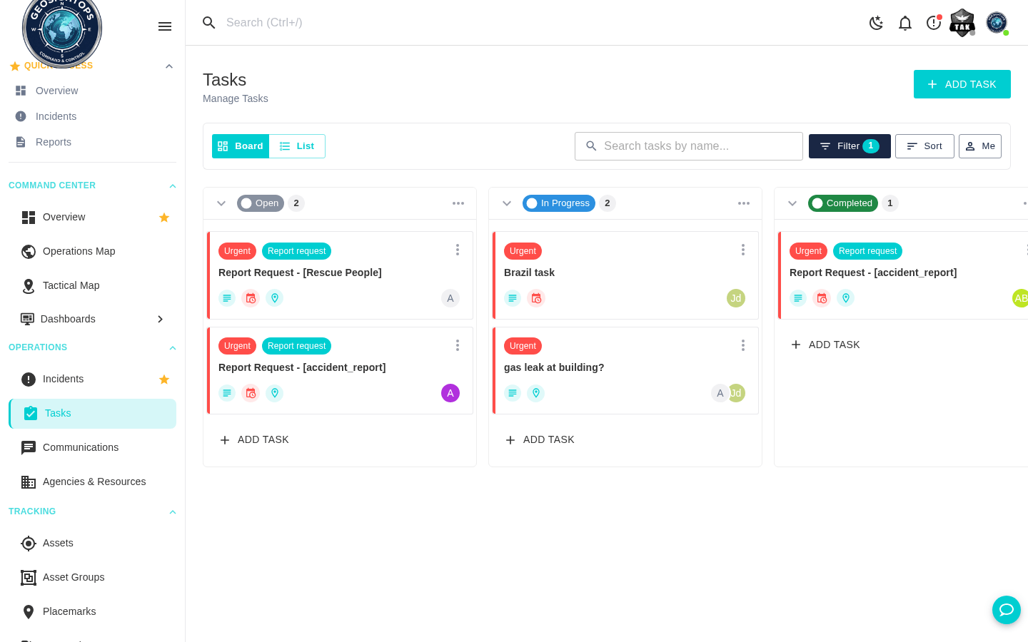
- Link submissions to incidents, tasks, or geographic context on the Common Operating Picture
- Save drafts, resume later, and collaborate before final sign-off
- Attach photos, files, and references for richer evidence packages
Reports & PDF Output
- Generate structured reports from templates aligned to your agency's formats
- Export clean PDFs suitable for records, after-action reviews, and external partners
- Pull key values from map-linked entities into report sections automatically where configured
AI Assistance
- Generative AI helps draft narrative blocks, summaries, and situational updates from structured inputs
- Suggestions for spelling, tone, and clarity — operators stay in control of the final text
- Reduces time spent on repetitive documentation during surge and steady-state operations
Custom Integrations via Webhooks
GeoSightOps supports custom integrations with any third-party system through webhook configuration and its API-first architecture. Connect your existing tools without replacing them.
Why It Matters
- One pipeline from field capture to leadership-ready PDFs — fewer copy-paste errors
- Map-linked context keeps narrative reporting aligned with operational truth
- AI assistance speeds drafting while humans retain approval authority
- Webhooks and APIs let you sync submissions into RMS, EOC tools, or document stores you already use
Ready to see GeoSightOps in action?
Schedule a live demo and we’ll show you exactly how GeoSightOps integrates with your existing systems.