Situational Awareness
Map Data Integration
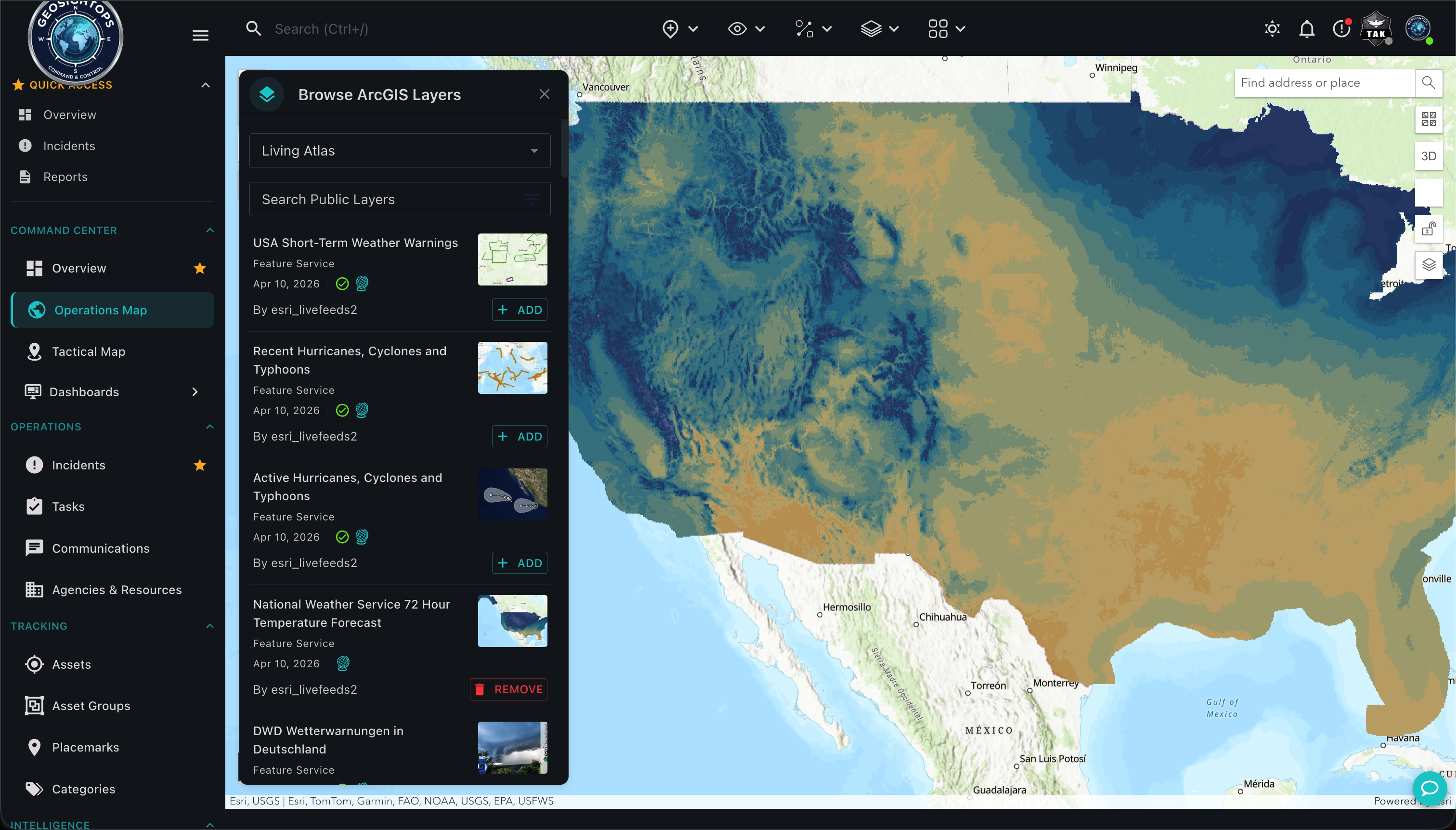
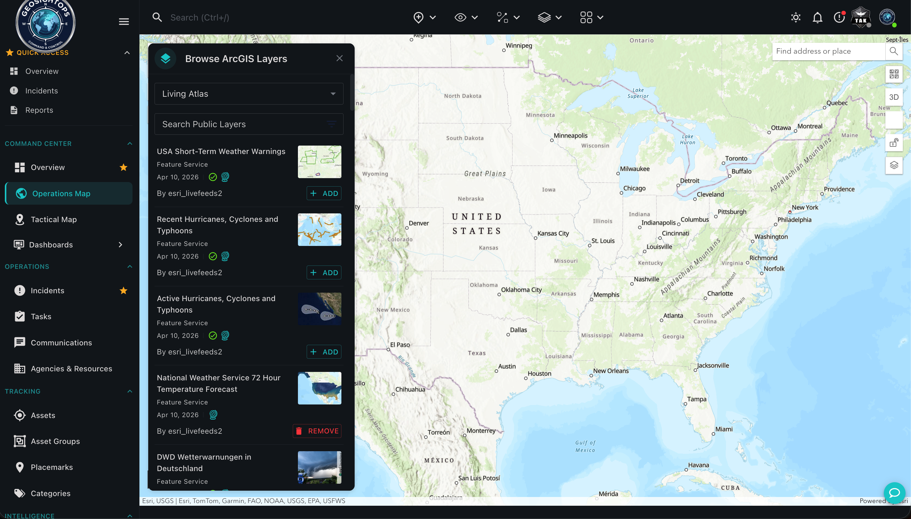
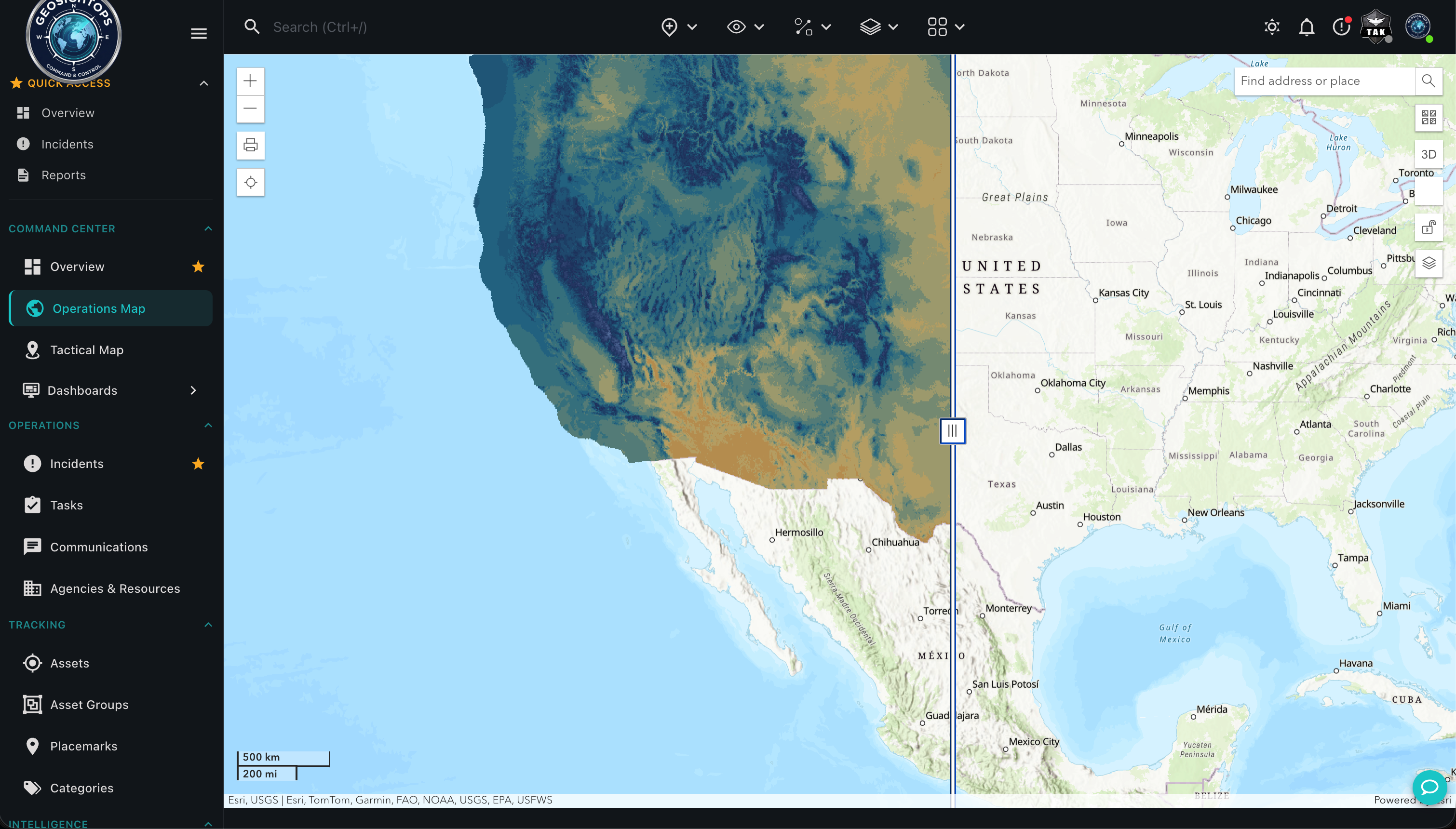
Bring ArcGIS, OGC, files, and 3D sources into the GeoSightOps common operating picture — full desktop web UI, not cropped marketing crops.
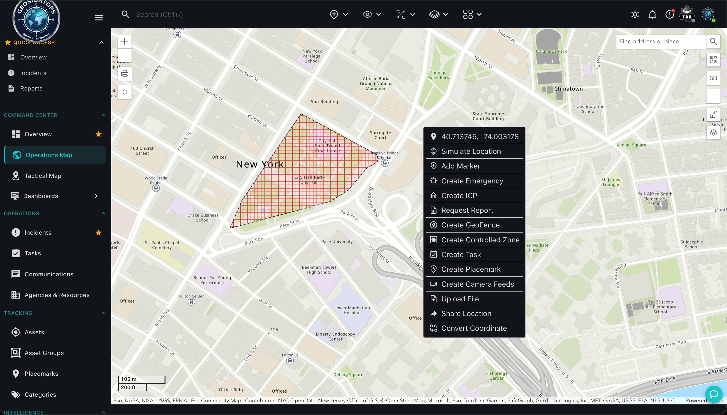
Esri ArcGIS Services
Feature, Map, Image, Vector Tile, and Scene services stack inside the same GeoSightOps desktop workspace.
- Feature Server — editable and queryable vector layers
- Map Server and Image Server for map and imagery services
- Vector Tile Server for high-performance basemaps
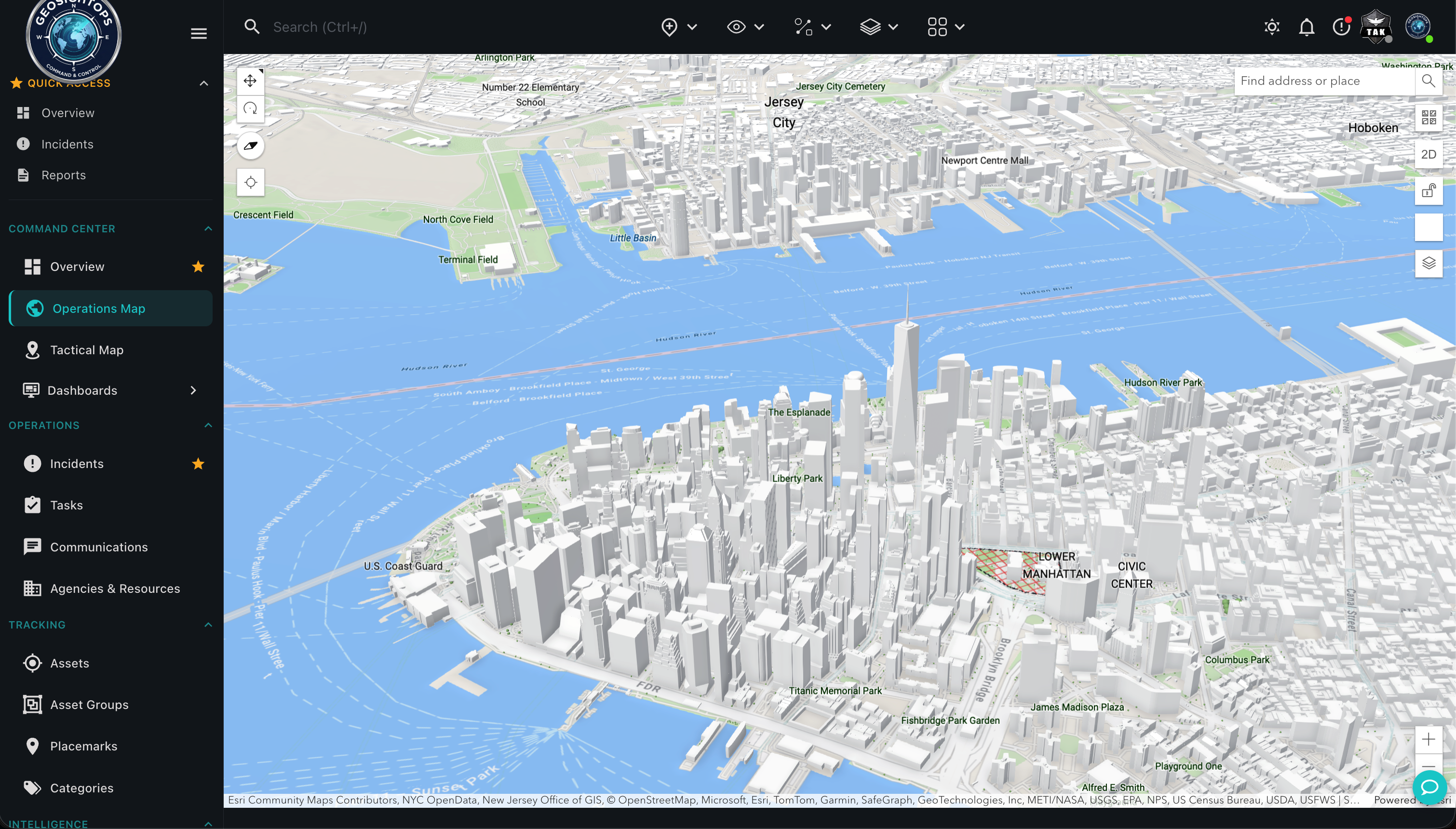
- Scene Server (i3S) for 3D scene layers
3D, CAD/BIM & Connectivity
Extend the COP with 3D context and enterprise GIS connectivity.
- 3D Tiles, i3S, GLB, CAD, and BIM workflows
- Connect to ArcGIS Enterprise or ArcGIS Online
- Open stacks: GeoServer, MapServer, and QGIS Server
Custom integrations via webhooks
Connect third-party systems through webhook configuration and the GeoSightOps API-first architecture — without replacing the tools you already run.
Ready to see GeoSightOps in action?
Schedule a live demo and we’ll show how incident workflows fit your systems.