Map-Based Incident Management
Visual incident command — on the map, in real time. Create, assign, and resolve incidents with the same geographic picture your field teams use.
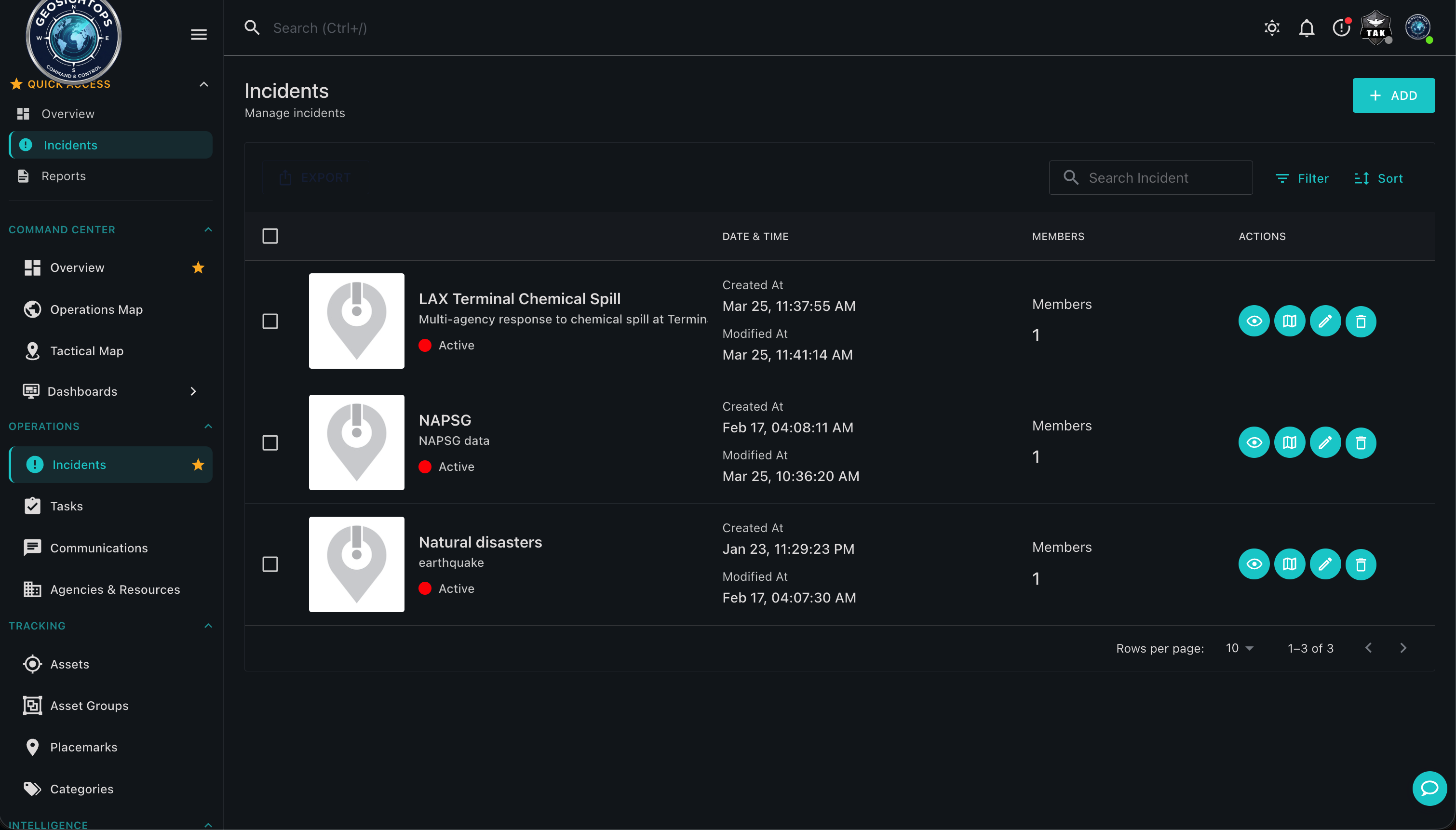
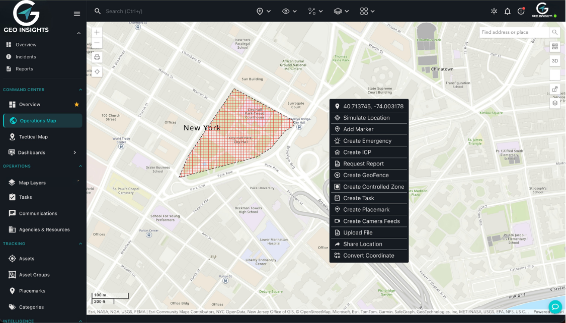
Incidents on the Map
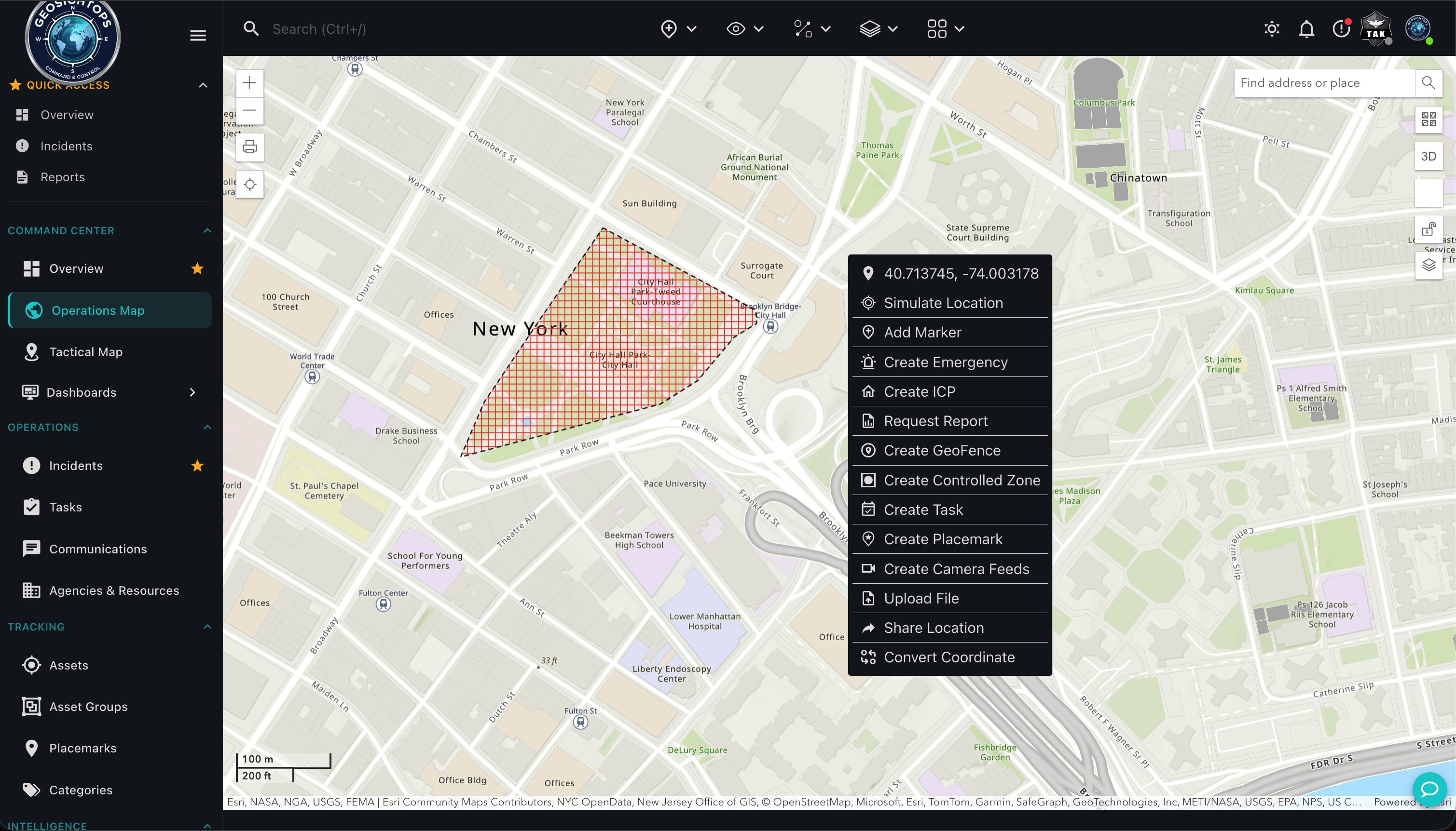
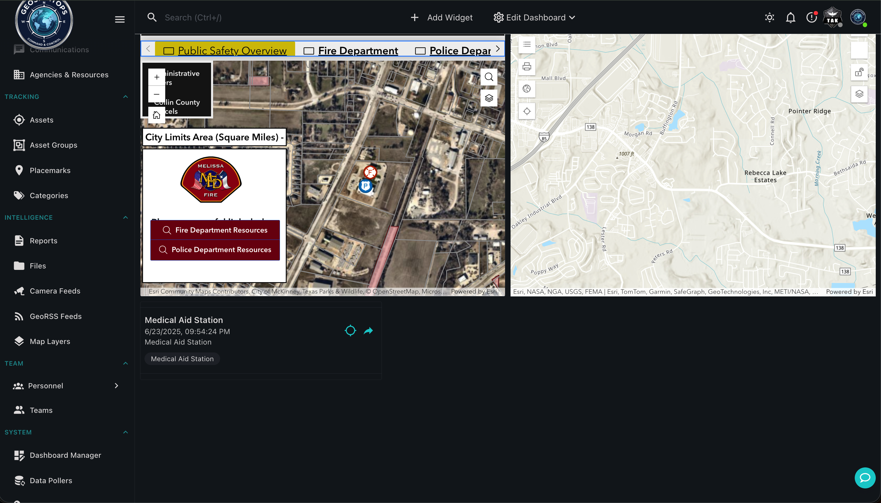
GeoSightOps ties every incident to geography from first report through resolution. Command staff open a location-aware picture of what is happening and keep documentation aligned with the same map your field teams use.
- Create and manage incidents directly on the map
- See status, priority, and key attributes with other operational layers
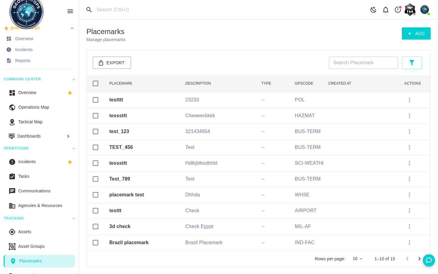
- Link incidents to addresses, facilities, and custom geographies
Resources & Timelines
Keep response moving with clear ownership, status, and shared context on the incident record.
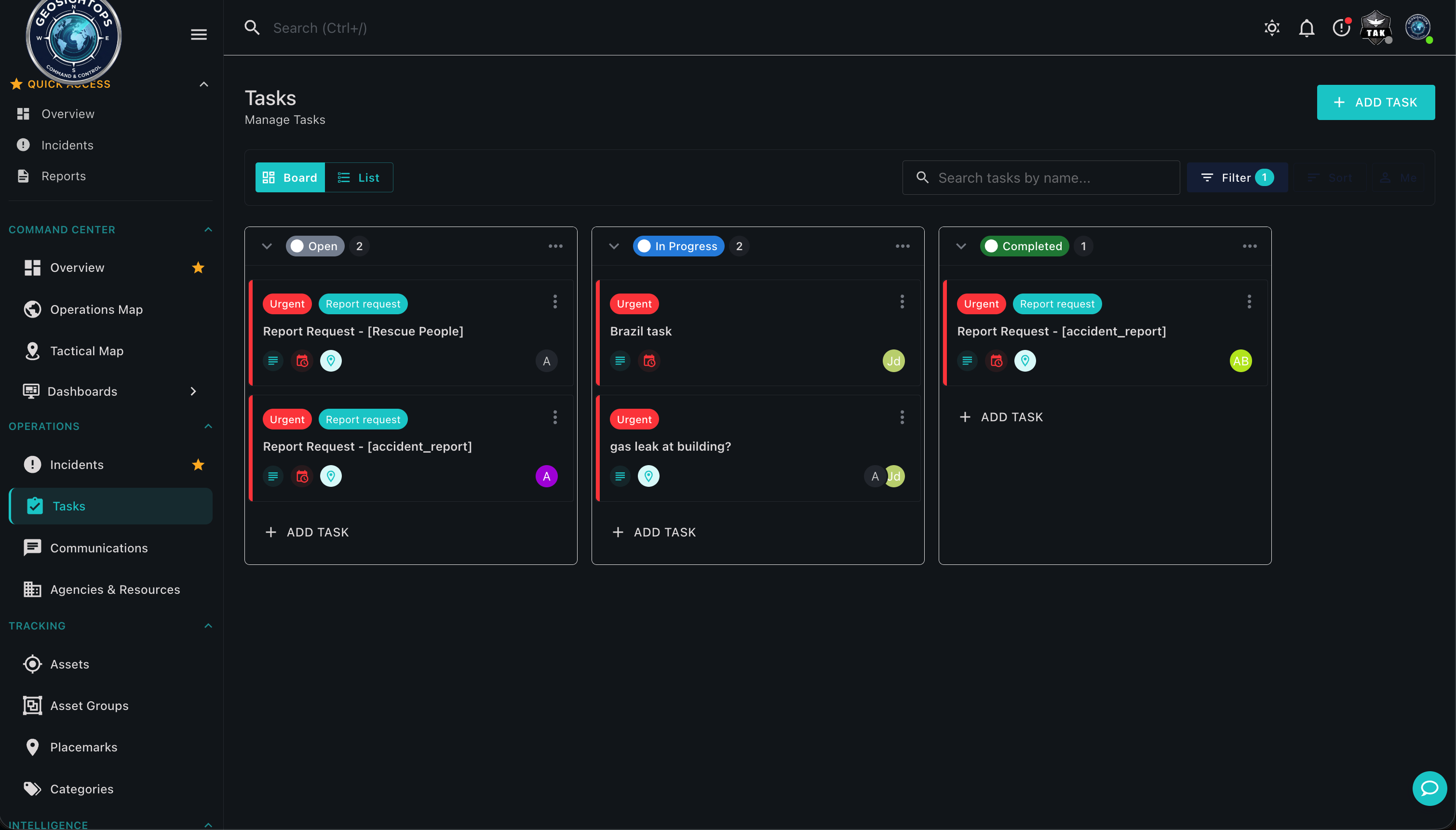
- Assign resources and track response status and timelines
- Coordinate tasks, files, and communications from the incident record
- Support multi-agency visibility where roles and permissions allow
CAD & RMS Integration
Connect authoritative dispatch and records systems so the map stays the single operational picture.
- Computer-Aided Dispatch (CAD) for call- and unit-aware workflows
- Records Management System (RMS) alignment for case continuity
- Reduce duplicate entry by connecting systems to the map
Annotation & Shared Data
Mark up the Incident Command Post picture and share digitized products through standard services.
- Annotate with arrows, markers, shapes, and buffers
- Digitize new data and share via standard services and APIs
- Export and briefing views for IAP products and after-action review
Connect third-party systems through webhook configuration and the GeoSightOps API-first architecture — without replacing the tools you already run.
Ready to see GeoSightOps in action?
Schedule a live demo and we’ll show how incident workflows fit your systems.