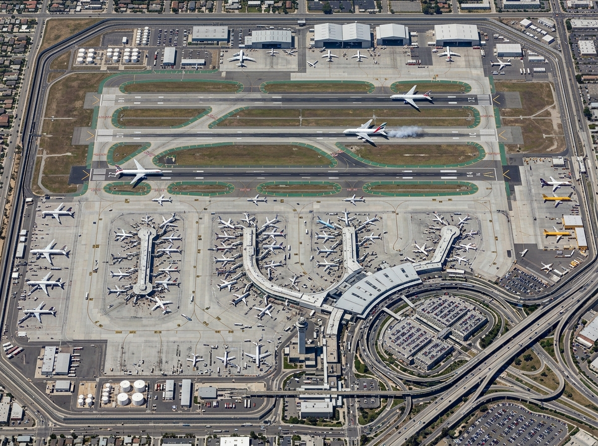
Real-Time Analytics Engine
Live event and movement analytics — event correlation, geofence analytics, anomaly detection, and operational KPIs as data arrives.

GeoSightOps
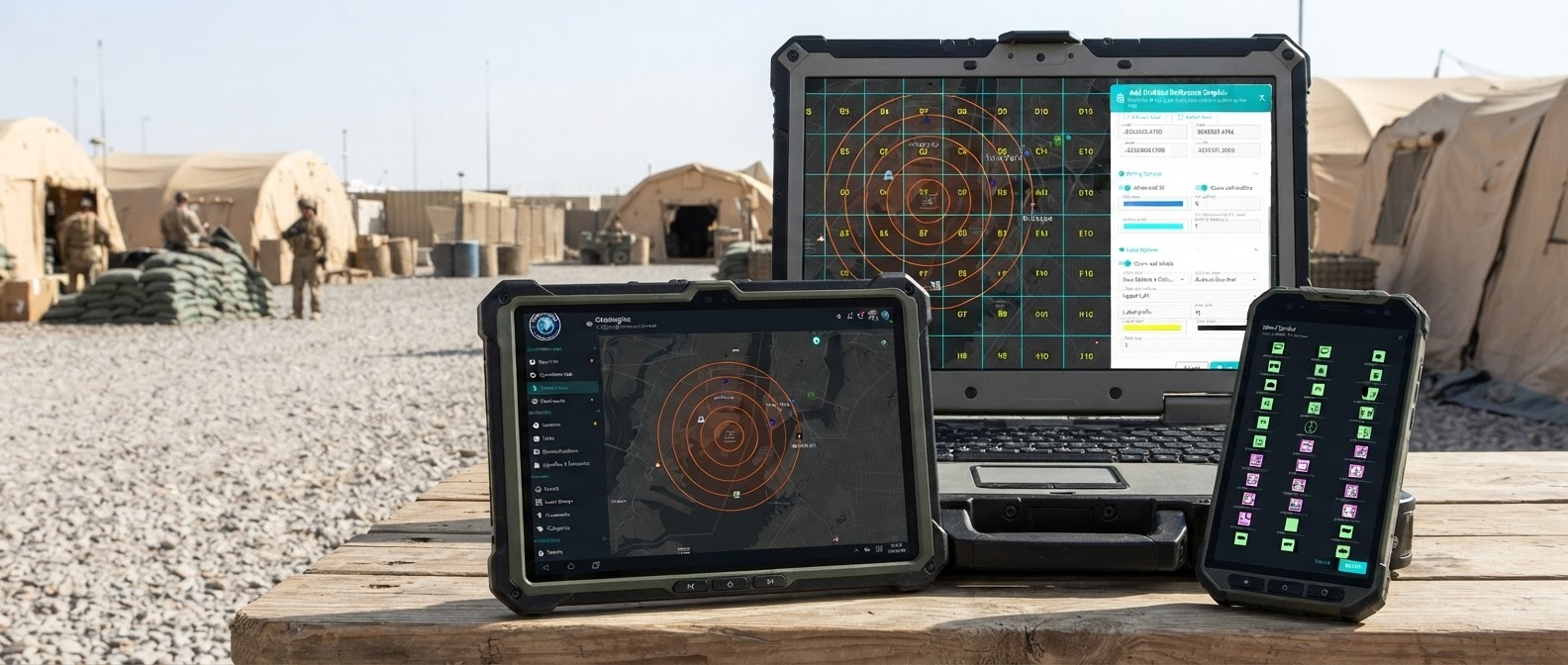
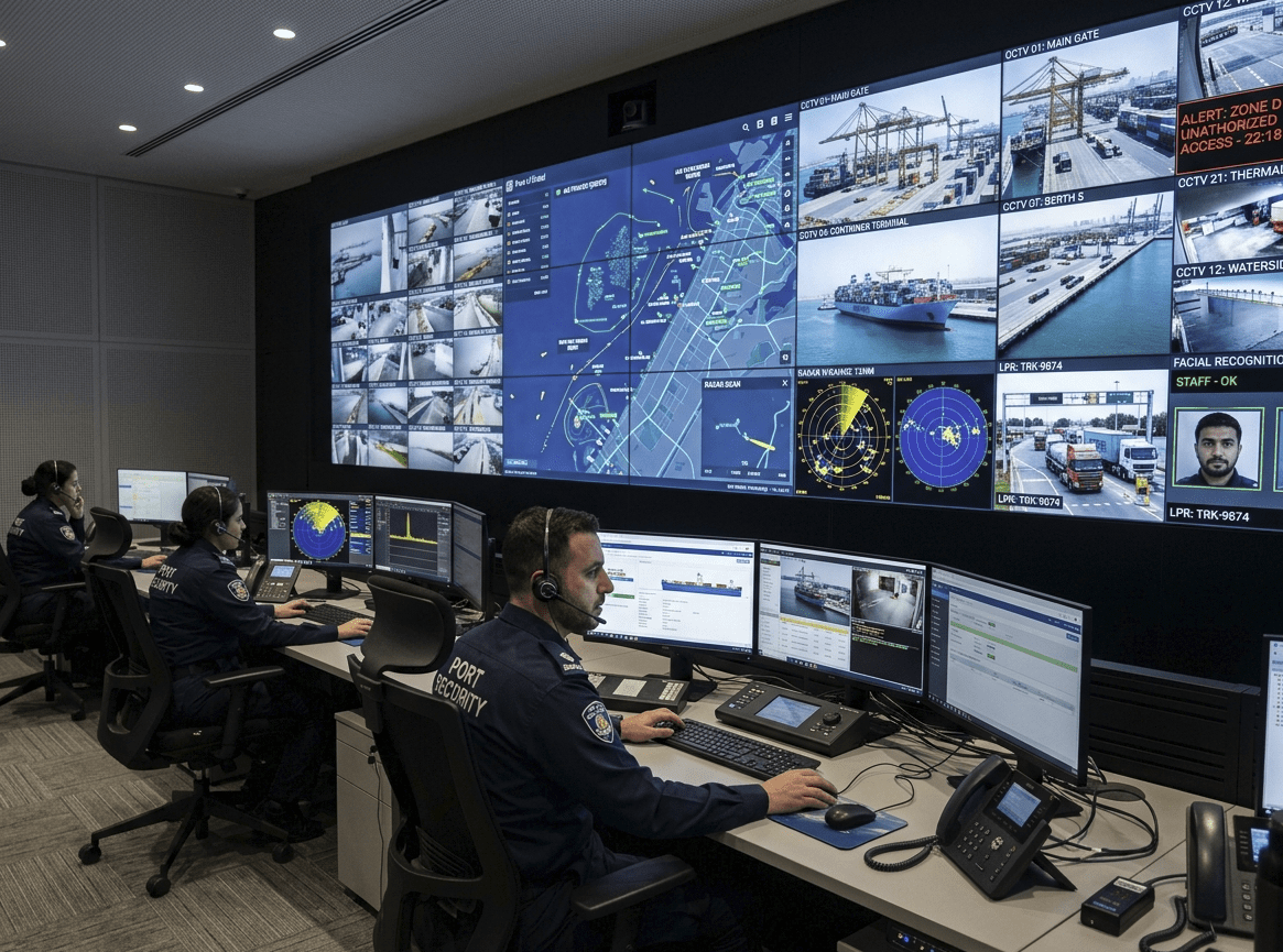
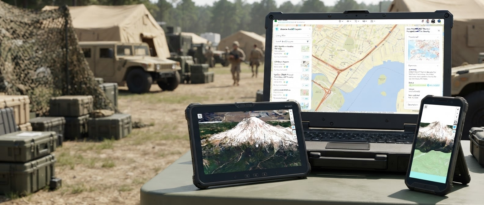
Unified situational awareness for ports, airports, cities, and critical infrastructure — across Web, iOS, and Android.
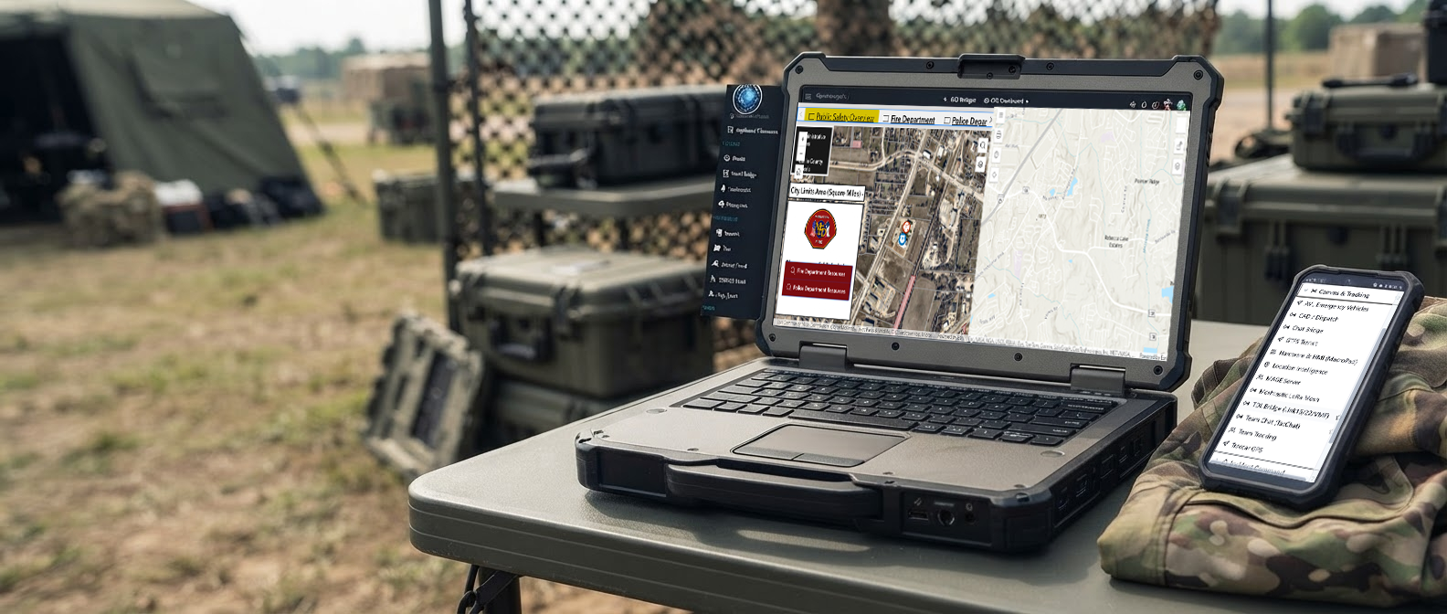
Real-time intelligence for command teams — built on GeoInsights ingestion, analytics, and enterprise GIS publishing.
Live event and movement analytics — event correlation, geofence analytics, anomaly detection, and operational KPIs as data arrives.
Speed, heading, route history, dwell time, stop detection, and route deviation for vehicles, vessels, aircraft, and field assets.
Publish and consume ESRI-compatible Moving Feature Server and Stream Server services with native WebSocket streaming.
No software-imposed feed limits — scale based on your infrastructure. Native ArcGIS Enterprise and ArcGIS Online integration.
GeoInsights ingests unlimited live data streams, performs advanced analytics, and publishes enterprise GIS services. GeoSightOps delivers command-and-control, situational awareness, incident management, and operational workflows on top of that intelligence engine.
Ingest, analyze, and publish — data pollers, movement intelligence, rules engine, WebSocket streaming, and ArcGIS layer integration.
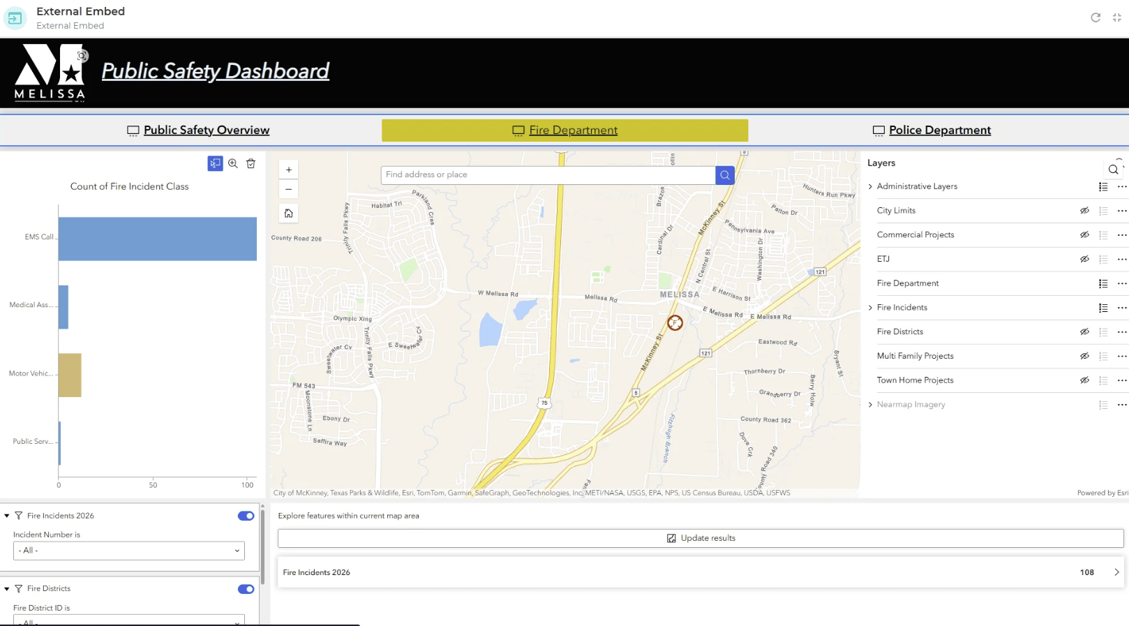
Command and control — Common Operating Picture, incident command, dashboards, alerts, NIMS ICS workflows, and multi-agency coordination.

Desktop dashboard + mobile incident command.
 Web
Web
 iOS
iOS
 Android
Follow one ops story: a unit drives, GeoSightOps scans the geofence, cameras lock on, a drone confirms from above, TAK shares to the field, and the board closes the loop.
GeoSightOps is the web command platform. Field reach uses Field Sentinel iOS, Android, and Windows integration — not GeoSightOps App Store / Play Store apps.
Browser
Full GeoSightOps command and control from any modern browser.
iOS · Android · Windows
Field Sentinel iOS, Android, Windows integration for patrol and field teams.
ATAK / WinTAK / iTAK
Connect TAK field clients to the same operational picture.
Everything you need for real-time command, control, and coordination — in a single platform.
GeoSightOps 2.0 is live — powered by the GeoInsights engine for real-time ingestion, analytics, and enterprise GIS publishing. Command teams now get movement intelligence, live dashboards, ESRI-compatible streaming, and unlimited feed scale across Web, iOS, and Android. Below is what's shipping today and what's next on the roadmap.
Movement intelligence, event correlation, anomaly detection, and live KPIs from GeoInsights streaming services.
ESRI-compatible Moving Feature Server and Stream Server — consumed directly in ArcGIS Enterprise, ArcGIS Online, and ArcGIS Pro.
Machine learning overlays that surface anomalies, predict congestion, and flag threats before they escalate.
Full 3D building and terrain visualization for indoor and outdoor command environments.
Live vessel tracking with automatic identification system data processed at scale.
No software-imposed feed limits — scale based on your infrastructure with native ArcGIS Enterprise and ArcGIS Online integration.
AI-driven predictions for crowd flow, vessel arrivals, and incident likelihood based on historical data.
One-click NIMS/ICS-compliant incident reports generated automatically from live operational data.
Bidirectional sync with TAK Server for full interoperability with defense and first responder networks.
GeoSightOps integrates with 650+ services, databases, and data platforms through an API-first architecture. Custom integrations are supported via webhooks and REST APIs.
Any system with an API can be connected to GeoSightOps through webhook configuration and the REST API-first architecture — without modifying your existing infrastructure.
FEMA standard forms built in, ready for accreditation
CAD, RMS, IoT, TAK, AIS, video systems, and 650+ data services
Deploy on-premise, in the cloud, or hybrid with full data sovereignty
Available on Web, iOS, and Android — meet your teams where they work
Enterprise-grade command and control at a price that works for any agency
Supports ESRI ArcGIS and open-source GIS equally; your data stays yours
Webhook configuration and API-first architecture for any third-party system
Designed for the people who run operations, not just those who buy software
Schedule a live demo and see your data inside a live GeoSightOps environment.
GeoSightOps is an annual enterprise platform — Standard $45,000 / year and Source Code $200,000. Full details live on the Pricing page only.