Installations need perimeter surveillance, friendly-force tracking, threat cues, and fast response — on one platform. GeoSightOps is a self-hosted, TAK-interoperable Common Operating Picture built for base security and operational security constraints.
From daily garrison work to escalations, commanders get shared maps, alerts, and workflows so teams detect, assess, and act without stitching together disconnected tools.
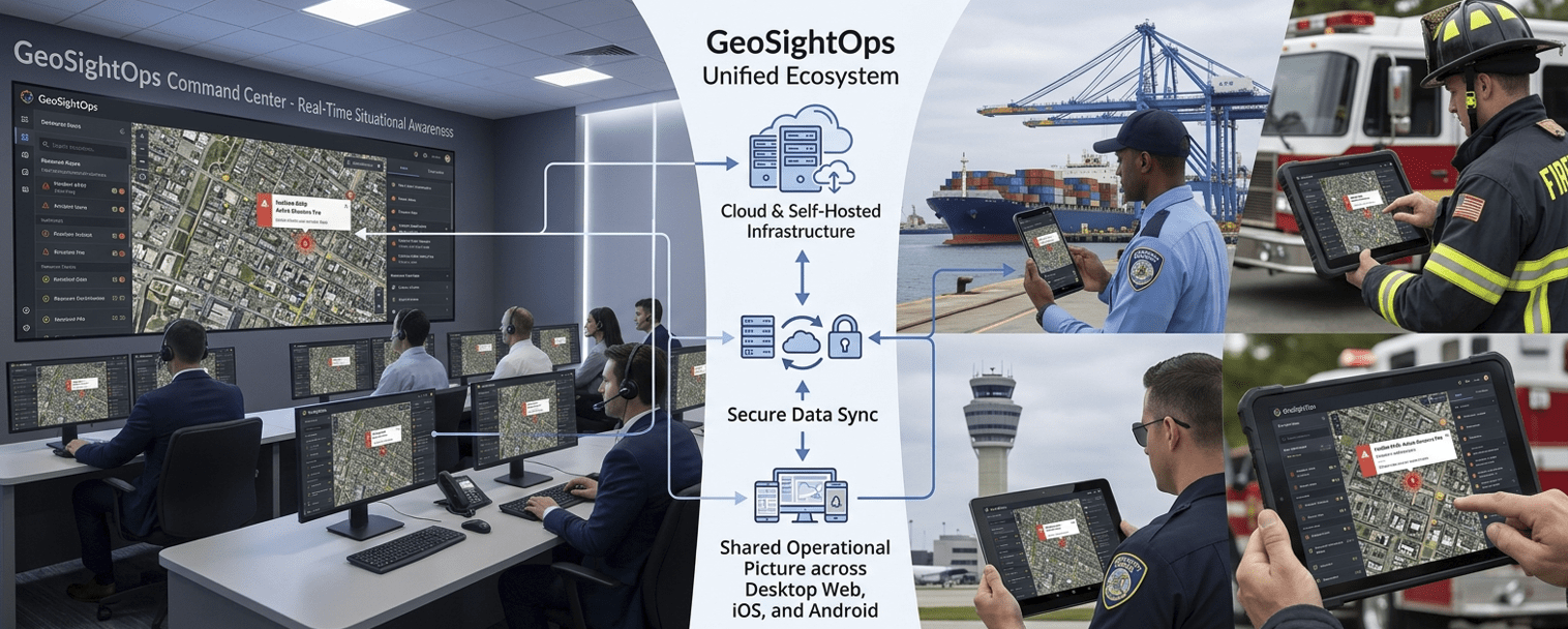
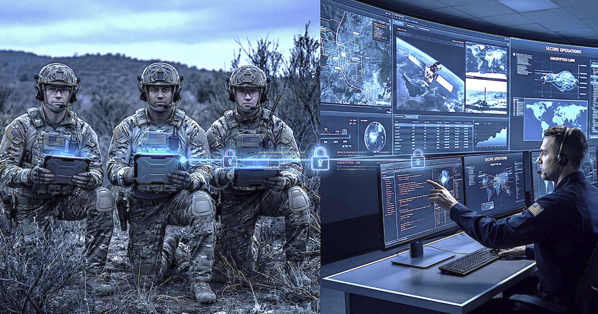
GeoSightOps on the command floor
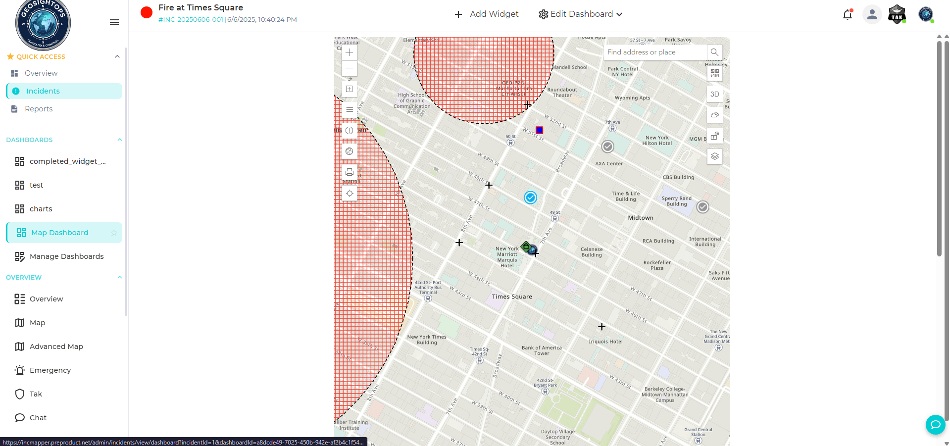
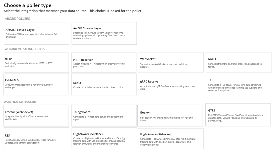
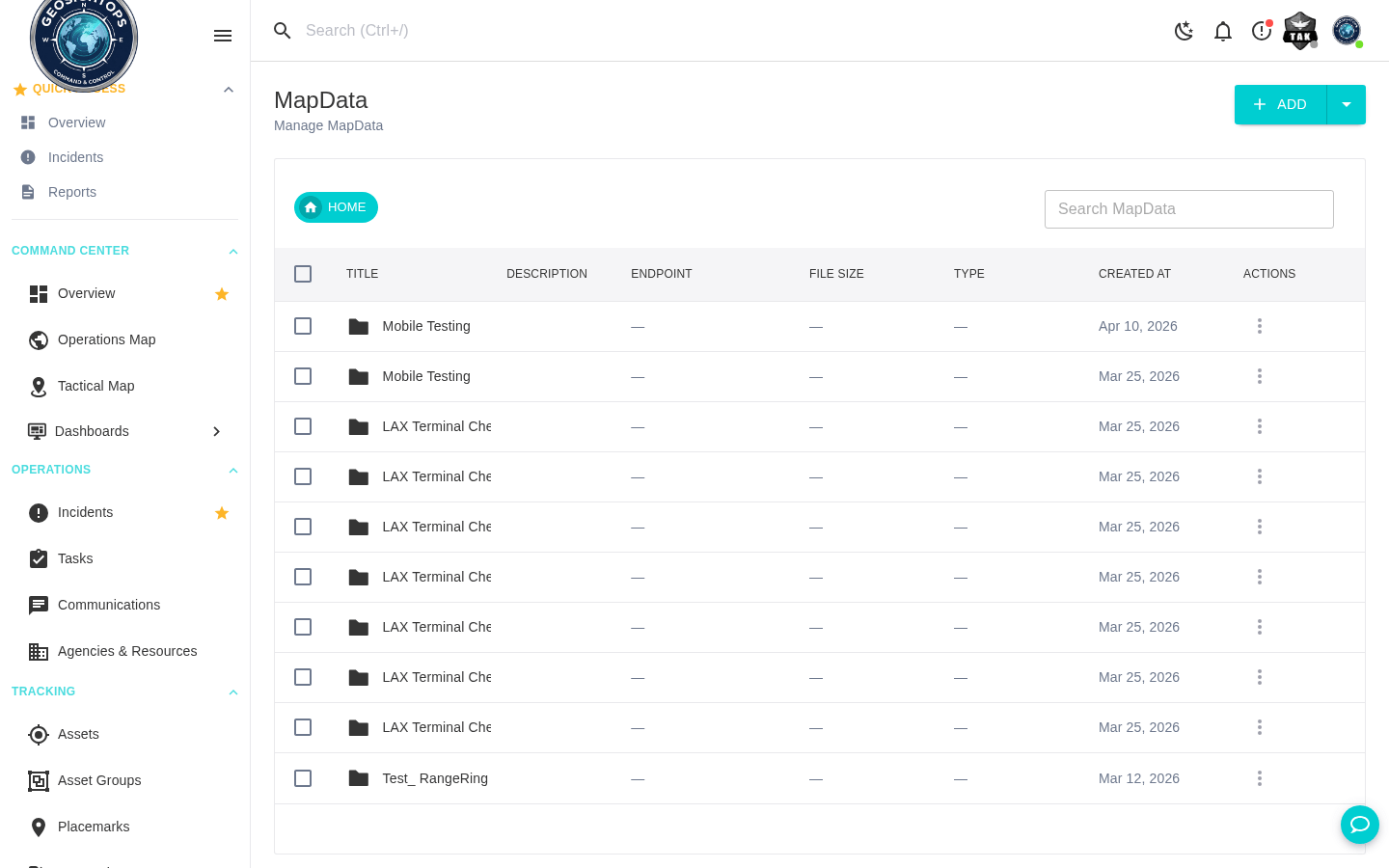
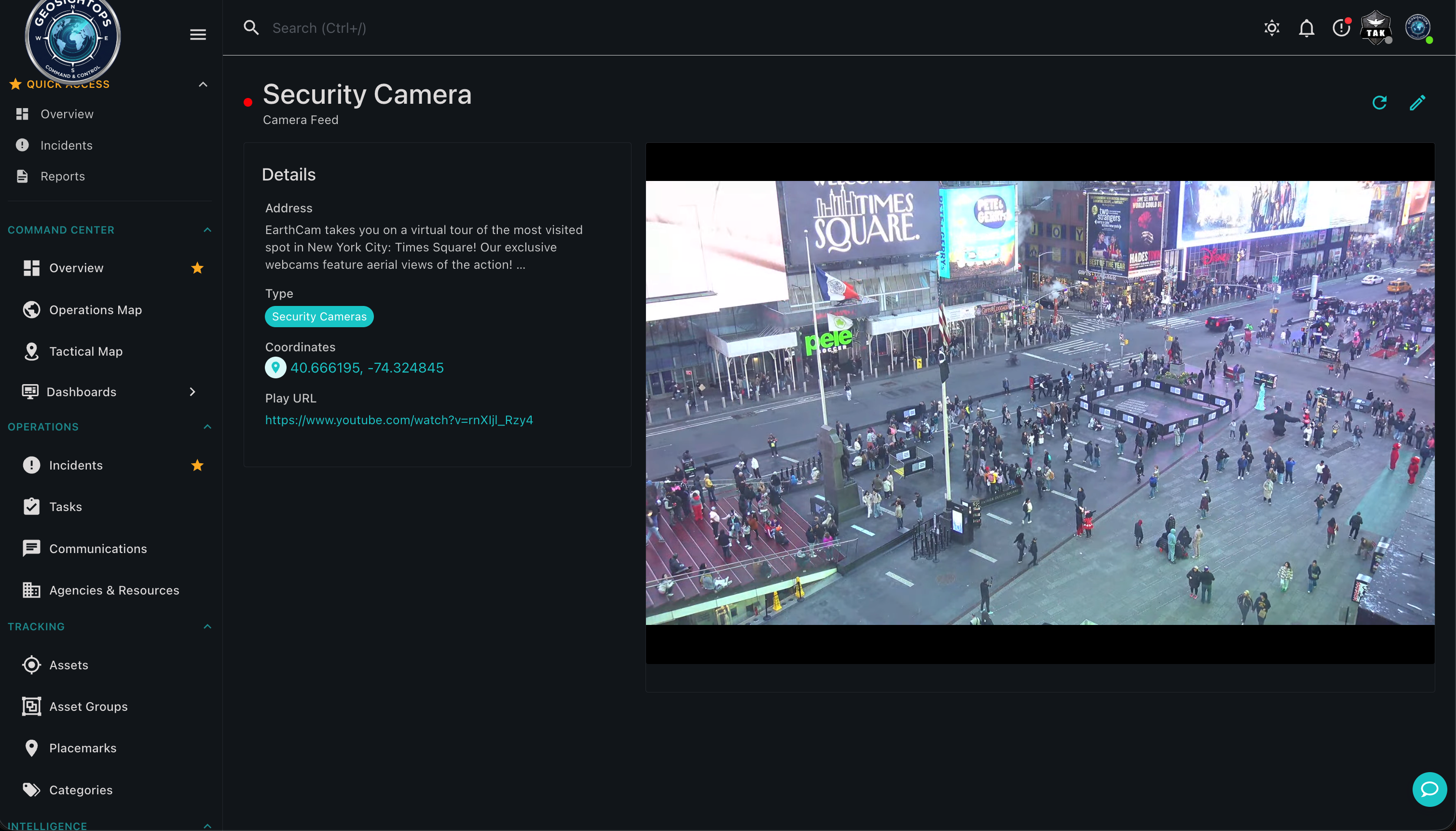
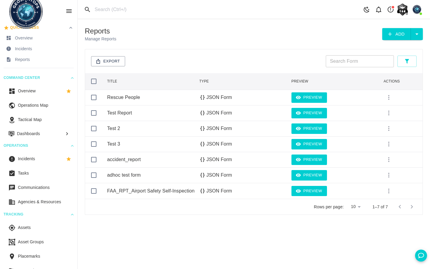
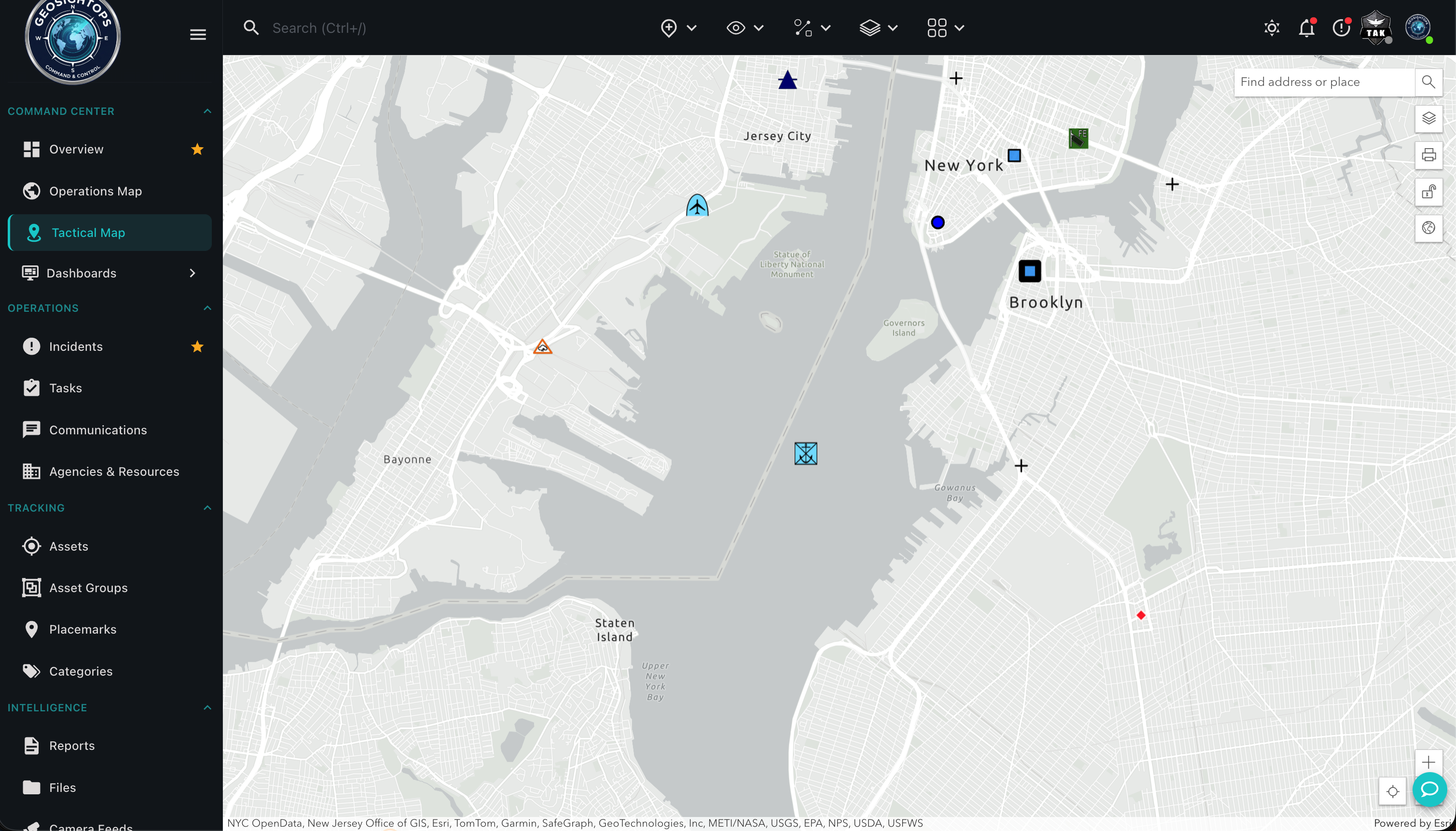
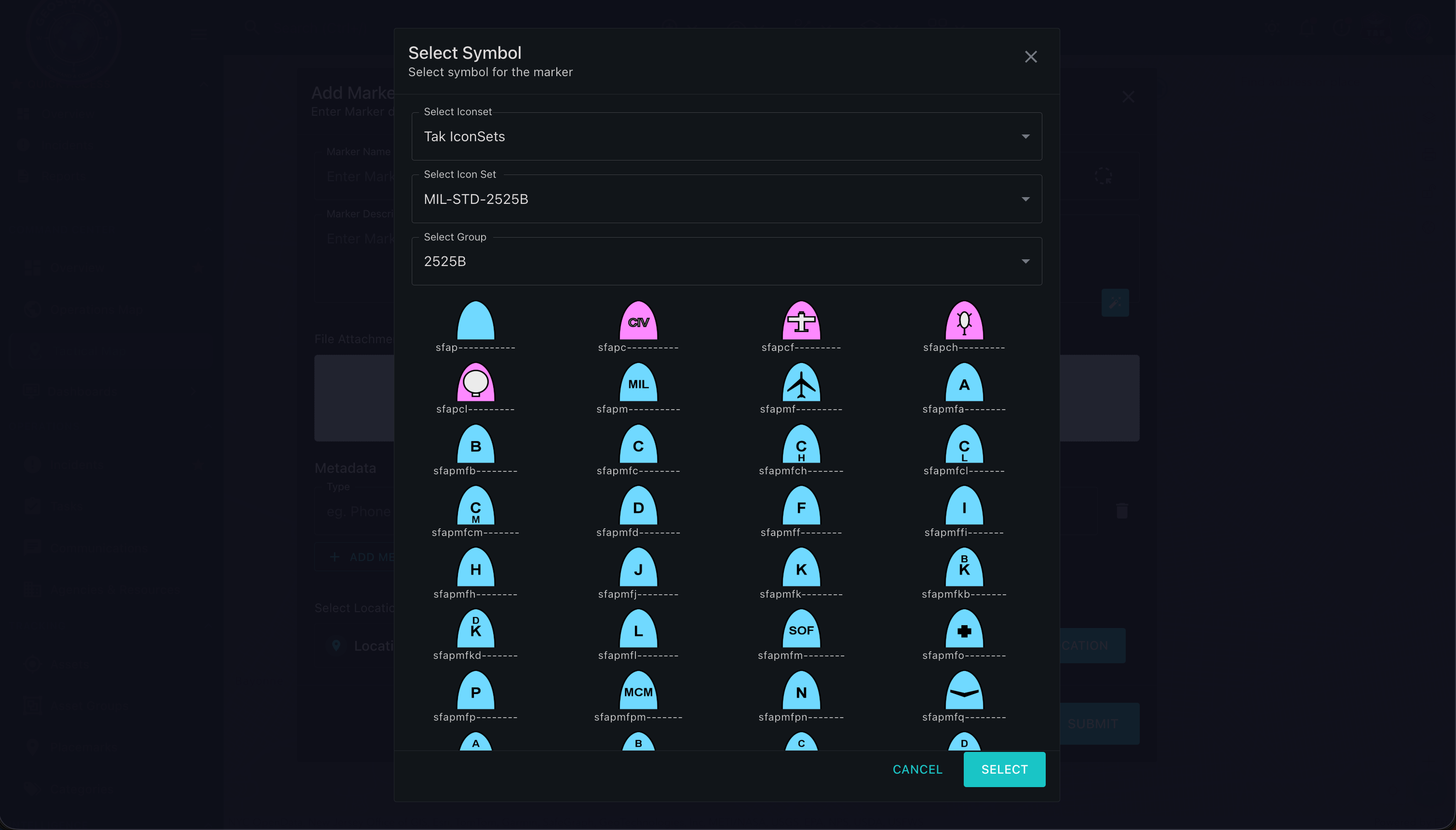
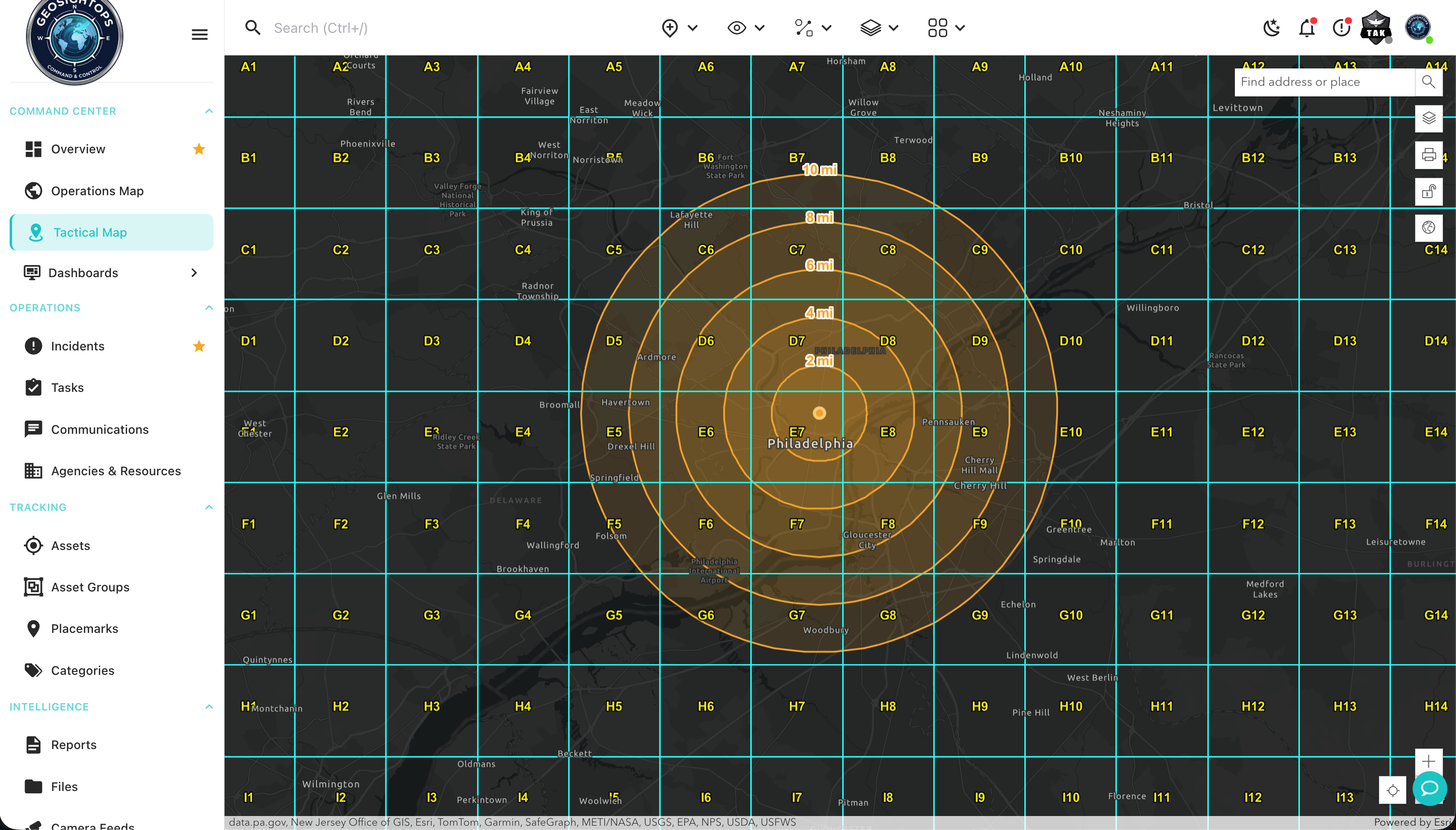
Live product screens — COP layers, feeds, dashboards, and reports from the GeoSightOps web application.
Tactical Perimeter Monitoring
- Full perimeter mapping with geofenced restricted zones — cantonment areas, flight lines, ammunition storage, headquarters buildings, and classified facilities
- Automated alerts when unauthorized personnel or vehicles cross base perimeter boundaries
- Sensor integration for perimeter intrusion detection systems — motion sensors, vibration detectors, and ground surveillance radar
- Live camera feeds from perimeter cameras placed at their geographic location on the base map
- AI-powered video analytics for perimeter breach detection and vehicle classification
TAK & ATAK Integration for Field Teams
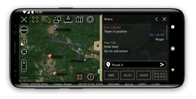
- Full interoperability with the Team Awareness Kit (TAK) ecosystem — ATAK, WinTAK, iTAK, and WebTAK
- Blue Force Tracking (BFT) — share friendly force positions between GeoSightOps and TAK in real time
- Position Location Information (PLI) — continuous location sharing for security patrols and quick reaction force
- Cursor on Target (CoT) messages with bi-directional TAK server synchronization
- Satellite device support for operations in areas without radio coverage — Garmin InReach, SPOT, and ACR/Artex beacons
Blue Force Tracking for Base Personnel
- Real-time position tracking for all security forces — gate guards, roving patrols, quick reaction force, and incident responders
- Tracking sources: ATAK-equipped mobile devices, iOS/Android field apps, GPS hardware trackers, and vehicle-mounted units
- Route history playback for accountability reviews and after-action analysis
- Speed monitoring and geofencing alerts for patrol compliance
- Group management — organize tracked personnel by unit, mission, or patrol zone
Geofencing for Restricted Base Zones
- Draw geofenced restricted zones directly on the base map — flight lines, classified facilities, ammunition handling areas, and exclusion zones
- Zone types: restricted, controlled, security, and custom operational zones
- Entry and exit alerts for personnel and vehicles crossing zone boundaries
- Integration with base access control systems for automated enforcement
- Geofencing alerts delivered via push notification, dashboard alert, and SMS to designated security personnel
Threat Detection via IoT Sensors & AI Video Analytics
- IoT sensor integration for perimeter intrusion detection, chemical/biological detection, and environmental monitoring
- MQTT, Modbus, OPC UA, and proprietary sensor protocol support
- Rules engine for complex threat detection scenarios — combine sensor readings with location, time, and identity conditions
- AI-powered video analytics — object detection, vehicle classification, and behavioral anomaly detection
- Automated incident creation when threat thresholds are exceeded
NIMS ICS Incident Command for Base Security
- NIMS ICS-compliant incident management aligned with FEMA Incident Command System standards
- All ICS forms built in — ICS 201 through ICS 221 — for active shooter, perimeter breach, and mass casualty incidents
- Incident Command organizational structure with role-based access for provost marshal, security officer, and response commanders
- Unified Command for incidents requiring coordination with local law enforcement and emergency services
- Incident annotation — staging areas, evacuation routes, and command post locations visible to all responders
Mobile Situational Awareness for Security Patrols
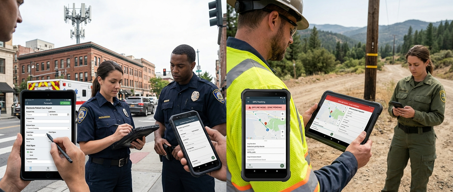
- Native iOS and Android field apps for security patrol personnel
- Offline data collection in areas without reliable connectivity — automatic sync when connection is restored
- GPS-stamped incident reports with photo and video attachments submitted directly from the field
- Live video streaming from mobile devices to the base security operations center Common Operating Picture
- Push notifications for patrol dispatch, alert escalation, and situation updates
Custom Integrations for Installation-Specific Systems
GeoSightOps connects to installation-specific access control systems, intrusion detection networks, and command systems through its API-first architecture and webhook configuration — without requiring replacement of existing infrastructure.
Platform Features Supporting This Solution
Platform visuals
See GeoSightOps in Your Environment
We'll walk you through a live demo tailored to your operational context and existing systems.