Universities and corporate campuses span large geographic areas with dozens of buildings, thousands of occupants, and complex indoor environments.
GeoSightOps provides campus security and operations teams with the situational awareness tools to manage daily safety operations and respond effectively to incidents.
Indoor & Outdoor Asset Tracking
- Indoor Mapping Data Format (IMDF) for detailed building floor plan visualization
- Multi-floor tracking with floor-switching controls in complex facilities
- Outdoor tracking for campus grounds, parking lots, and access roads
- Real-time personnel positions via mobile devices and badge-integrated systems
Campus Security Operations
- Geofencing for restricted areas — laboratories, server rooms, executive offices, and after-hours zones
- Entry/exit alerts when personnel or vehicles cross defined security boundaries
- Camera feed integration for visual monitoring of gates, lobbies, and perimeter
- Patrol tracking for campus security officers with route history playback
Incident Reporting & Safety Inspections
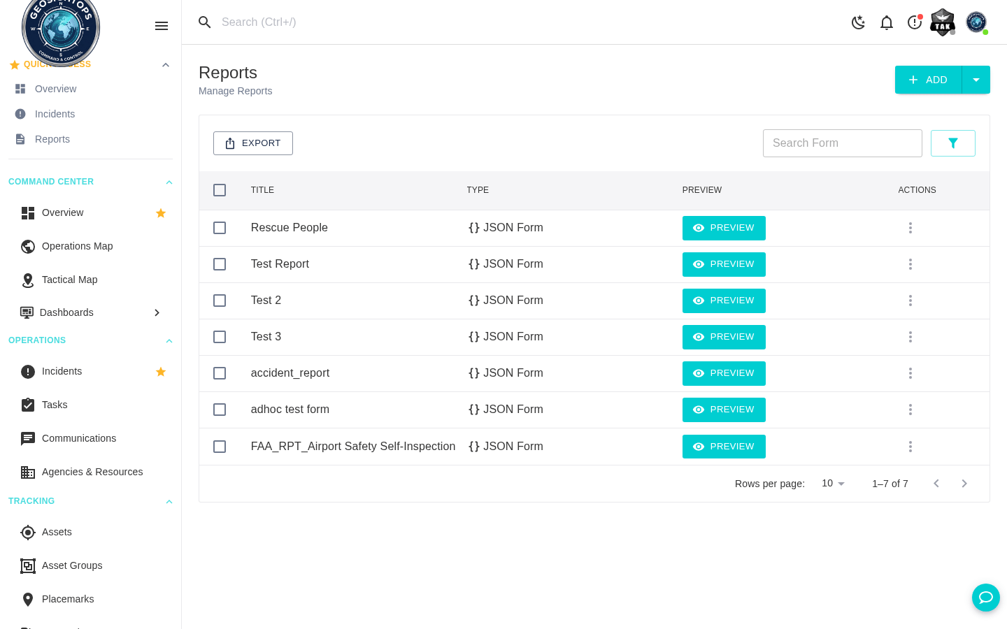
- GPS-stamped incident reports with photo and video attachments submitted from mobile devices
- AI-powered form generation for safety inspection checklists and hazard identification
- Offline data collection for areas with limited connectivity
- PDF export of inspection reports and incident documentation
Emergency Response
- Campus-wide emergency notification via SMS, email, and push notification
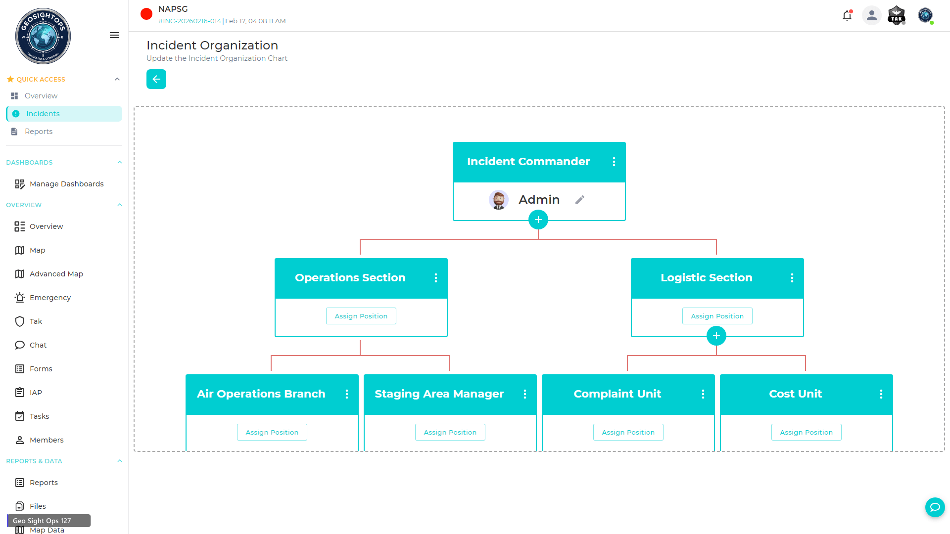
- NIMS ICS-compliant incident management for active threats, fires, and medical emergencies
- Multi-agency coordination with local law enforcement, fire, and EMS
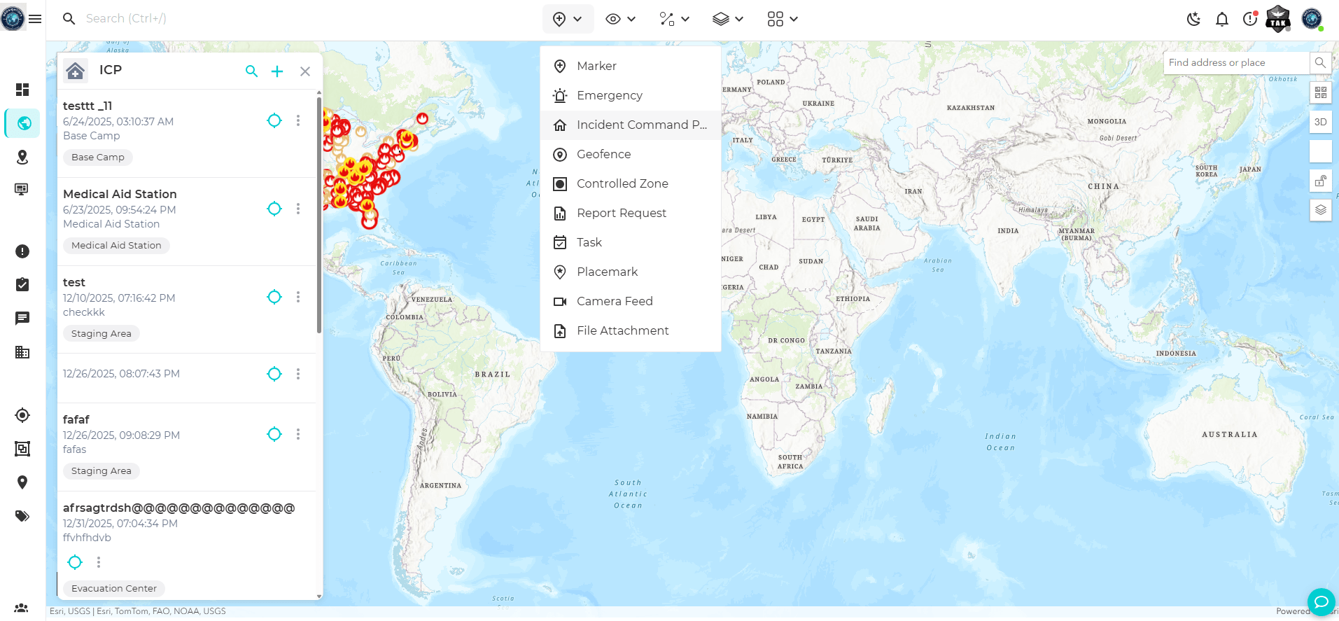
- Evacuation route visualization and staging area designation on the campus map
Custom Integrations via Webhooks
GeoSightOps connects to your existing systems through its API-first architecture and webhook configuration —
enabling custom integrations with any third-party platform, data source, or application.
Platform Features Supporting This Solution
See GeoSightOps in Your Environment
We'll walk you through a live demo tailored to your operational context and existing systems.