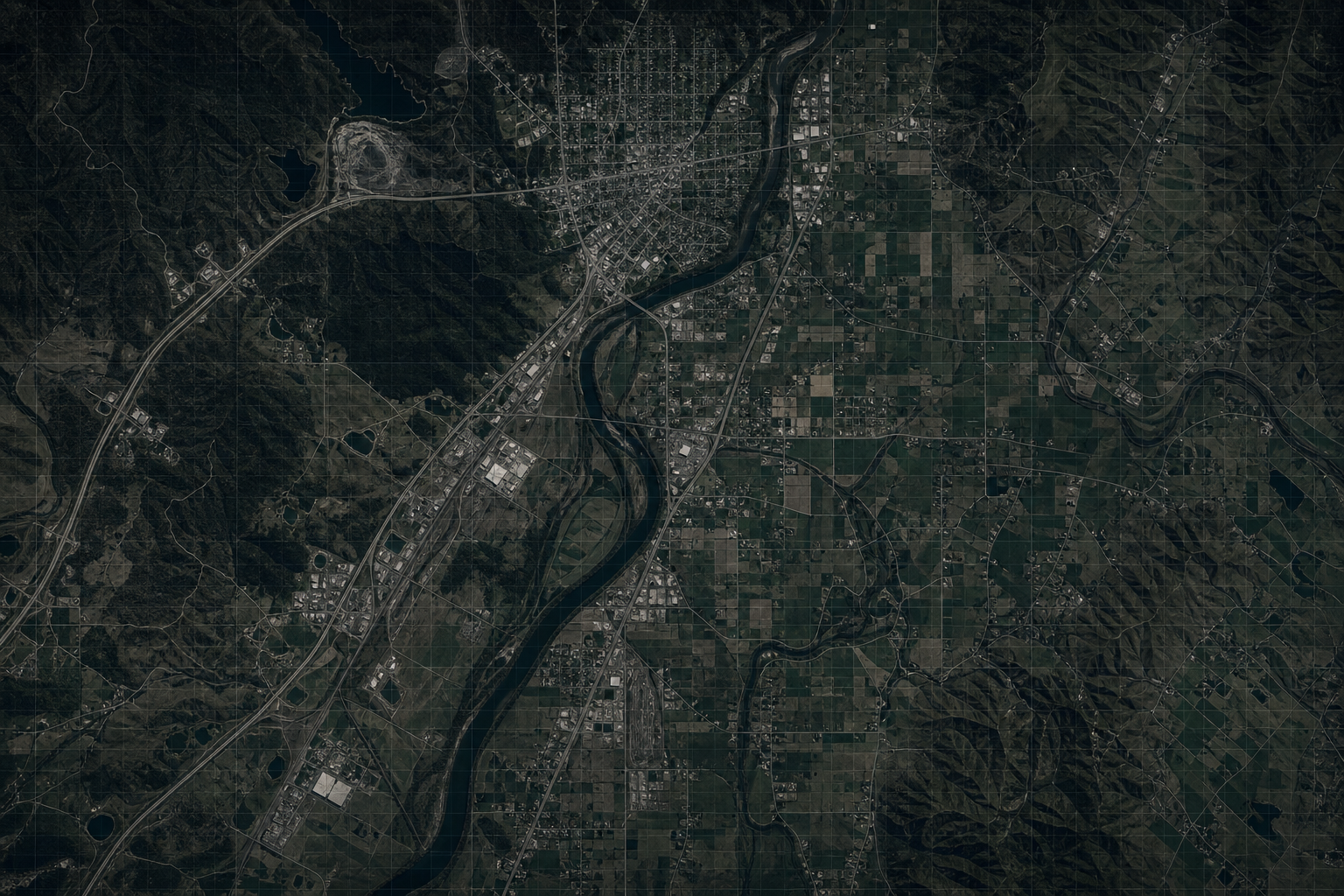
GeoSightOps aligns the TAK ecosystem with your command workflows: ingest COT and related feeds, honor team iconsets, and pair tactical tracks with refreshed satellite basemaps where your mission requires current ground truth. Operators stay in ATAK, WinTAK, iTAK, or WebTAK while leadership sees the same picture in GeoSightOps dashboards and the Common Operating Picture.
TAK Server & Team Awareness
- Connect TAK Server for real-time tactical data sharing with controlled credentials
- Manage iconsets for consistent COT rendering across clients and the map
- Coordinate with MediaMTX, messaging, and broker services where your architecture requires them
Satellite Imagery on the Map
- High-resolution basemap and overlay layers tuned for situational awareness
- Refresh cadence aligned to operational tempo — from steady-state monitoring to surge events
- Blend satellite context with vector data, indoor plans, and live video where configured
Common Operating Picture Alignment
- Single map truth for blue-force tracks, annotations, and sensor-derived layers
- Click-through from map features to source metadata and recent updates
- Supports cross-agency visibility when rules and roles permit sharing
Custom Integrations via Webhooks
GeoSightOps supports custom integrations with any third-party system through webhook configuration and its API-first architecture. Connect your existing tools without replacing them.
Why It Matters
- Reduces duplicate tracks and symbol confusion between TAK clients and the enterprise map
- Satellite context improves orientation when terrain, weather, or infrastructure changes quickly
- Field teams keep trusted TAK tools while command gains analytics, dashboards, and reporting in one stack
- Webhooks and APIs let you fan out events into mission IT, archives, or partner systems
Ready to see GeoSightOps in action?
Schedule a live demo and we’ll show you exactly how GeoSightOps integrates with your existing systems.