Critical infrastructure operators — utilities, oil and gas companies, water treatment facilities, and energy providers — manage vast physical assets spread across large geographic areas with complex sensor networks and strict safety requirements.
GeoSightOps brings all of it together on a single, unified operational platform.
IoT Sensor Monitoring
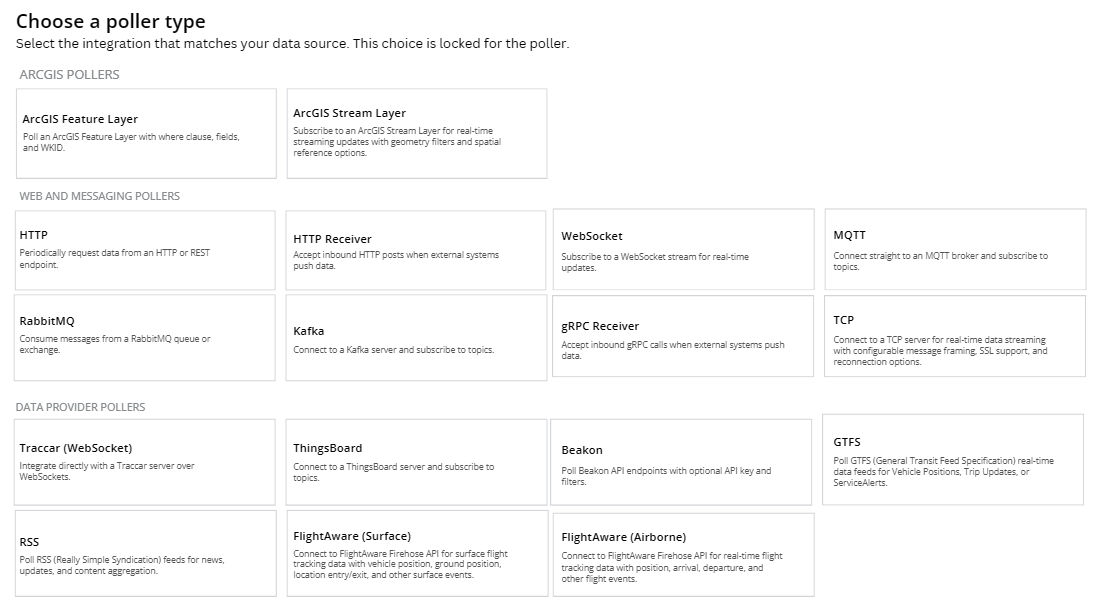
- Integration with ThingsBoard, AWS IoT, Azure IoT Hub, and OGC SensorThings API
- Support for MQTT, Modbus, OPC UA, LoRaWAN, BACnet, and other industrial protocols
- Real-time telemetry displayed on maps and dashboards — temperature, pressure, flow, vibration, air quality
- SCADA system integration for existing industrial control networks
Rules Engine & Automated Alerting
- Define threshold-based alerts for any sensor reading or equipment status
- Combine multiple conditions with AND/OR logic for complex rule scenarios
- Automated response actions: send notification, create incident, change asset status
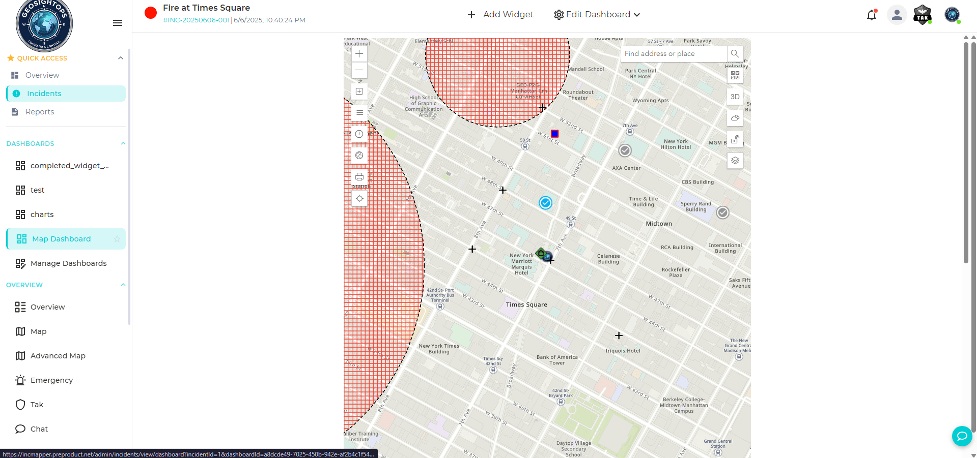
- Geofencing alerts for personnel entering hazardous or restricted zones
- Notifications delivered via SMS, email, push notification, and dashboard alerts
Asset & Infrastructure Management
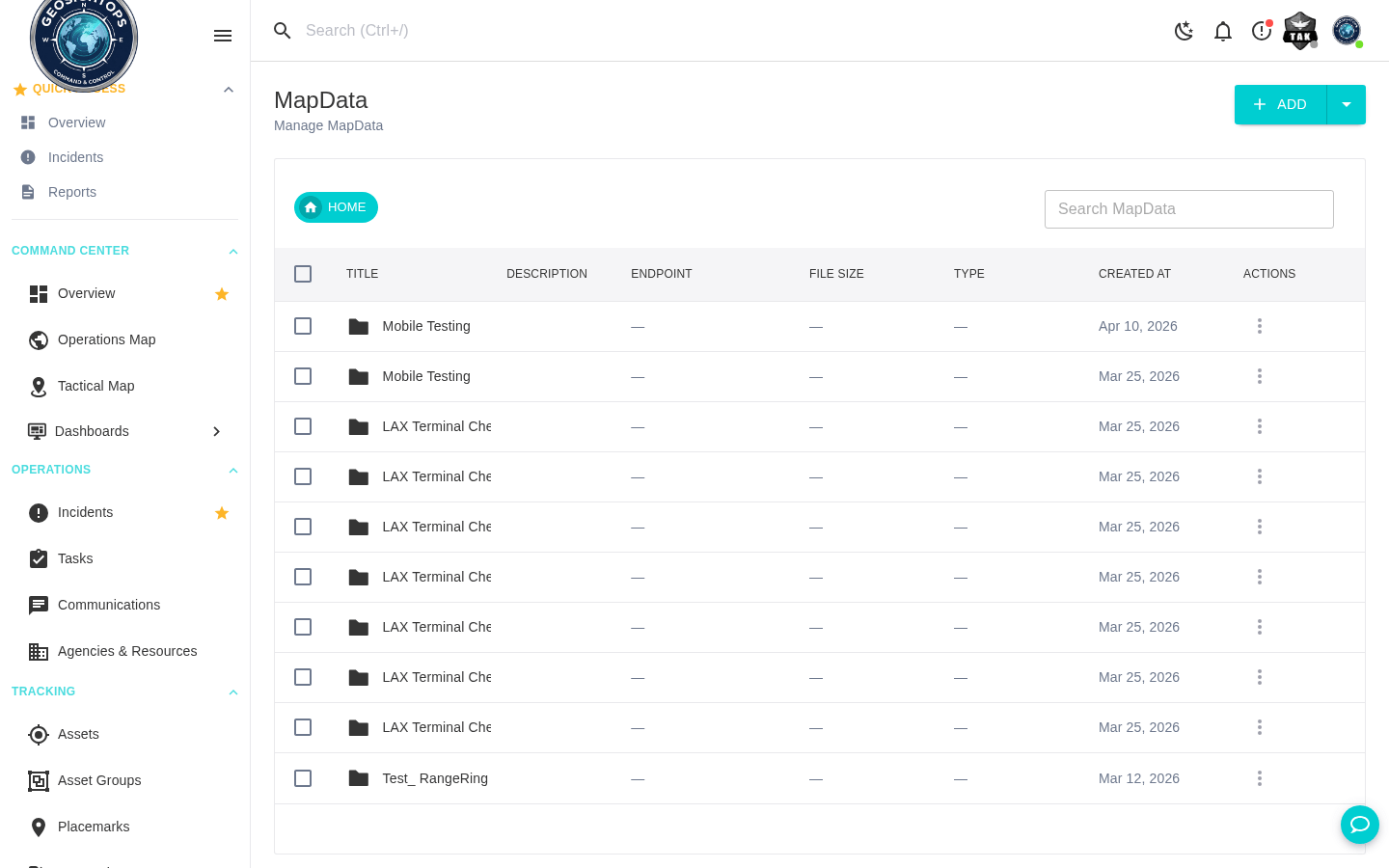
- Centralized inventory of infrastructure assets — pipelines, tanks, substations, pumps, valves, and equipment
- Maintenance scheduling and condition tracking for critical equipment
- Work order management linked to geographic asset locations
- IoT-driven predictive maintenance through trend analysis and threshold monitoring
Incident Response & Safety
- NIMS ICS-compliant incident management for spills, fires, equipment failures, and safety incidents
- Multi-agency coordination — operations, environmental response, emergency services, regulatory agencies
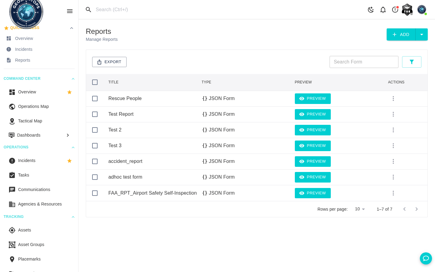
- GPS-stamped safety inspections and environmental compliance forms submitted from mobile devices
- Custom dashboards for operations control rooms, safety teams, and executive oversight

Custom Integrations via Webhooks
GeoSightOps connects to your existing systems through its API-first architecture and webhook configuration —
enabling custom integrations with any third-party platform, data source, or application.
Platform Features Supporting This Solution
See GeoSightOps in Your Environment
We'll walk you through a live demo tailored to your operational context and existing systems.