Port Authorities
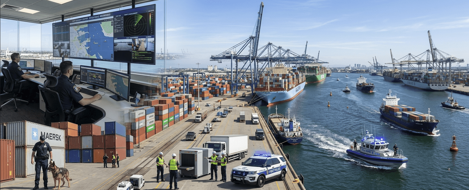
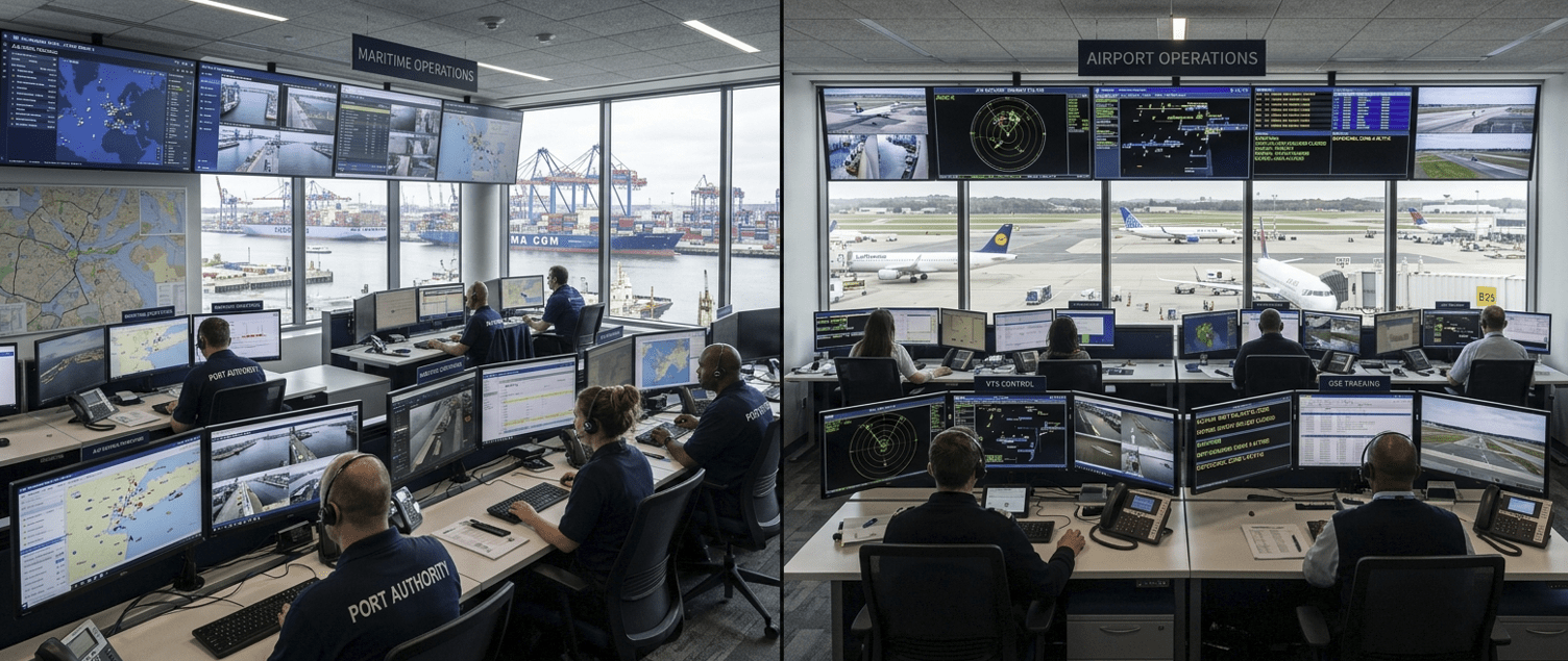
Real-time vessel tracking via AIS, berth management, perimeter geofencing, multi-agency coordination for harbor operations, and security zone enforcement.
- AIS Maritime Monitoring
- Geofencing Alerts
- Multi-Agency COP
GeoSightOps adapts to the unique workflows, terminology, and operational requirements of each
industry. One platform, configured for your specific operational reality — whether you're managing
port security, airport operations, public safety incidents, or critical infrastructure.
Real-time vessel tracking via AIS, berth management, perimeter geofencing, multi-agency coordination for harbor operations, and security zone enforcement.
Airside and landside situational awareness across runways, taxiways, aprons, and terminals. Track aircraft, ground vehicles, personnel, and equipment.
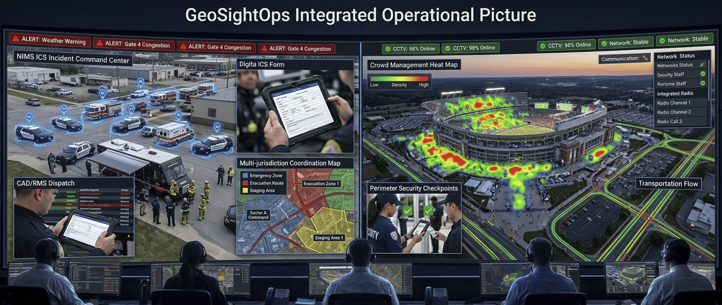
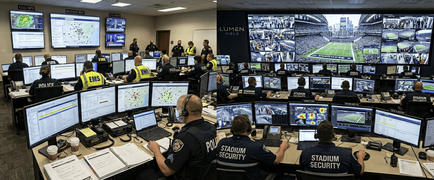
NIMS ICS-compliant incident command with built-in FEMA forms, CAD/RMS integration, dispatch, Blue Force Tracking, and multi-jurisdiction coordination.
Crowd management, transportation tracking, perimeter security, personnel tracking, and real-time communication for event operations.
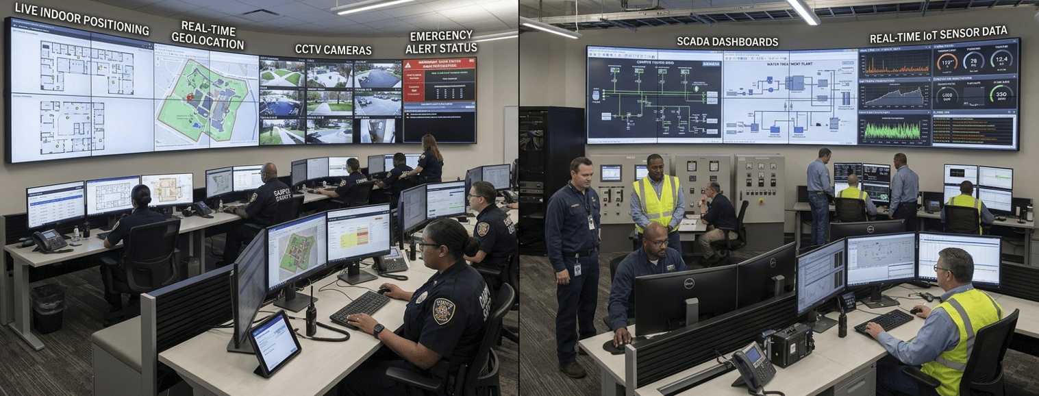
Indoor and outdoor asset tracking, incident reporting, safety inspections, geofencing for restricted areas, and emergency notification.
IoT sensor monitoring for utilities, oil and gas, water treatment, and energy facilities. Rules-engine alerts for equipment faults and safety violations.
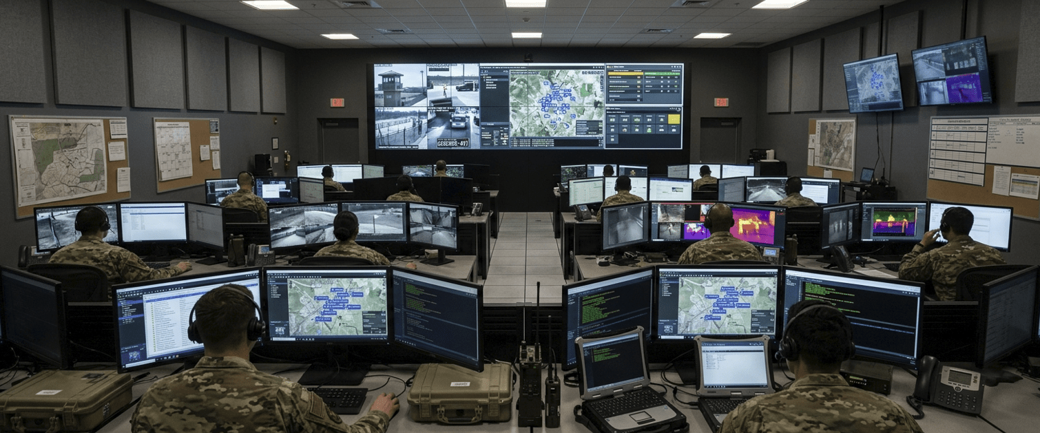
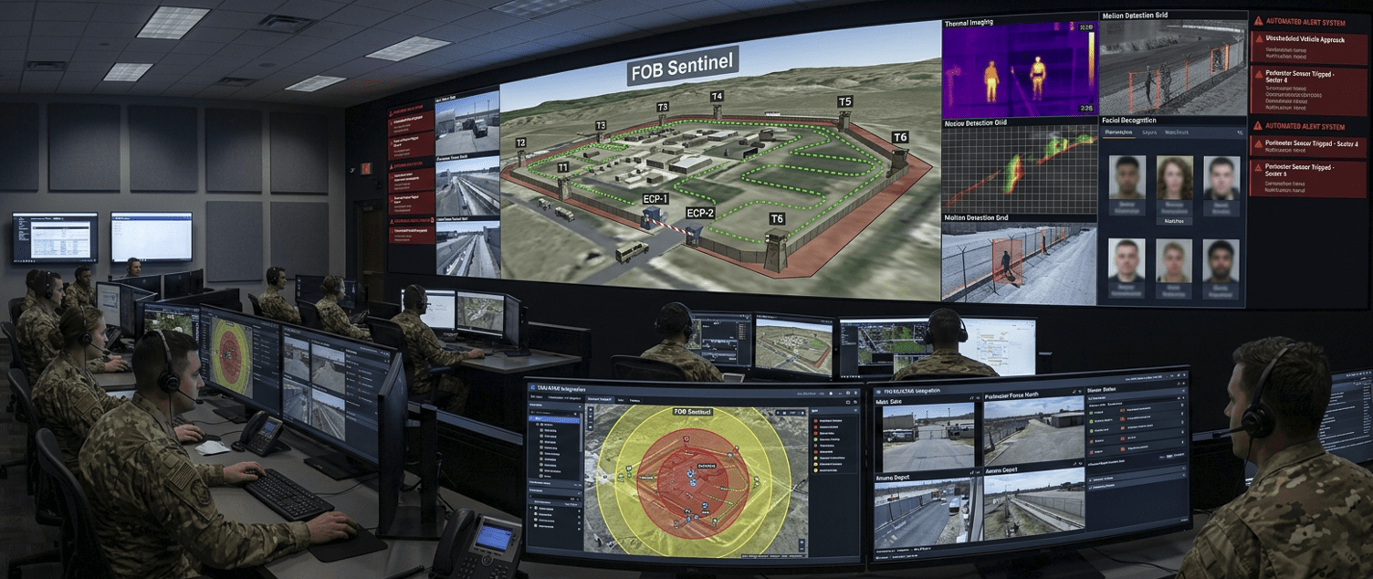
Tactical perimeter monitoring, Blue Force Tracking, TAK/ATAK integration, and AI-powered threat detection for military base security operations.
GeoSightOps is a flexible platform that can be configured for any organization that
manages complex, geospatially distributed operations. Let's discuss your specific
requirements.