Why Us
Situational Awareness
Common Operating Picture Smart Monitoring & Alerts Live Video & AI Analytics 2D, 3D & Indoor Visualization Map Data Integration
Operations & Response
Map-Based Incident Management NIMS ICS & FEMA Forms Task Management Forms & Reports with AI Collaboration & Communication
Tracking & Integrations
Vehicle & Personnel Tracking IoT & Sensor Integration TAK Field Operations TAK & Satellite Integration Communications Gateway
Platform & Data
Custom Dashboards Asset Management Mobile Data Collection Airport Operations Platforms & Deployment
★ Port Authorities View All Features →
Solutions Overview TAK Field Operations
Port Authorities Airport Operations Public Safety Agencies Sports & Entertainment Venues University & Corporate Campuses Critical Infrastructure Military Base Force Protection
Military Apps Demos New & Coming Pricing
About TechMaven
TechMaven Website ↗ Portfolio ↗ Support ↗ Contact Us ↗
Request Demo
Situational Awareness

Smart Monitoring & Alerts

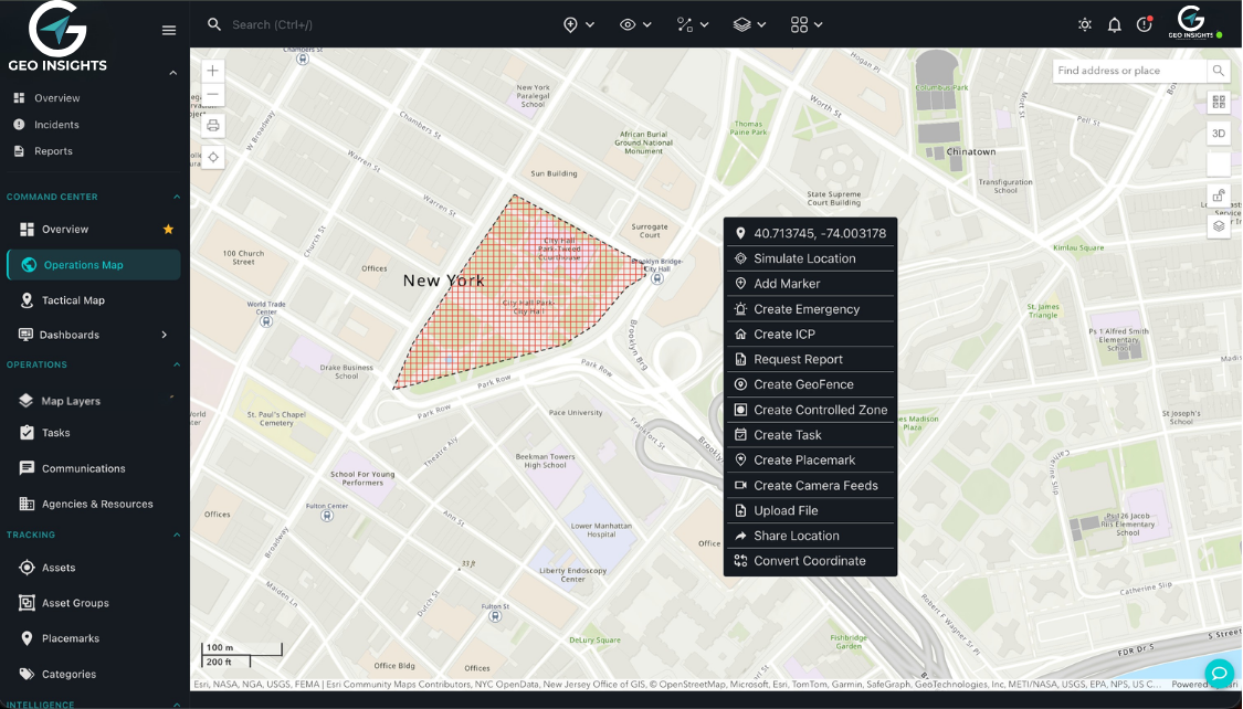
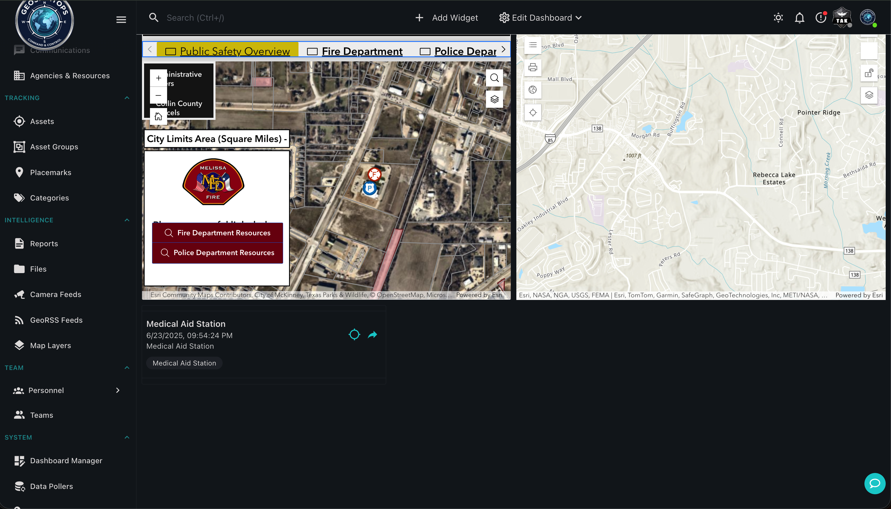
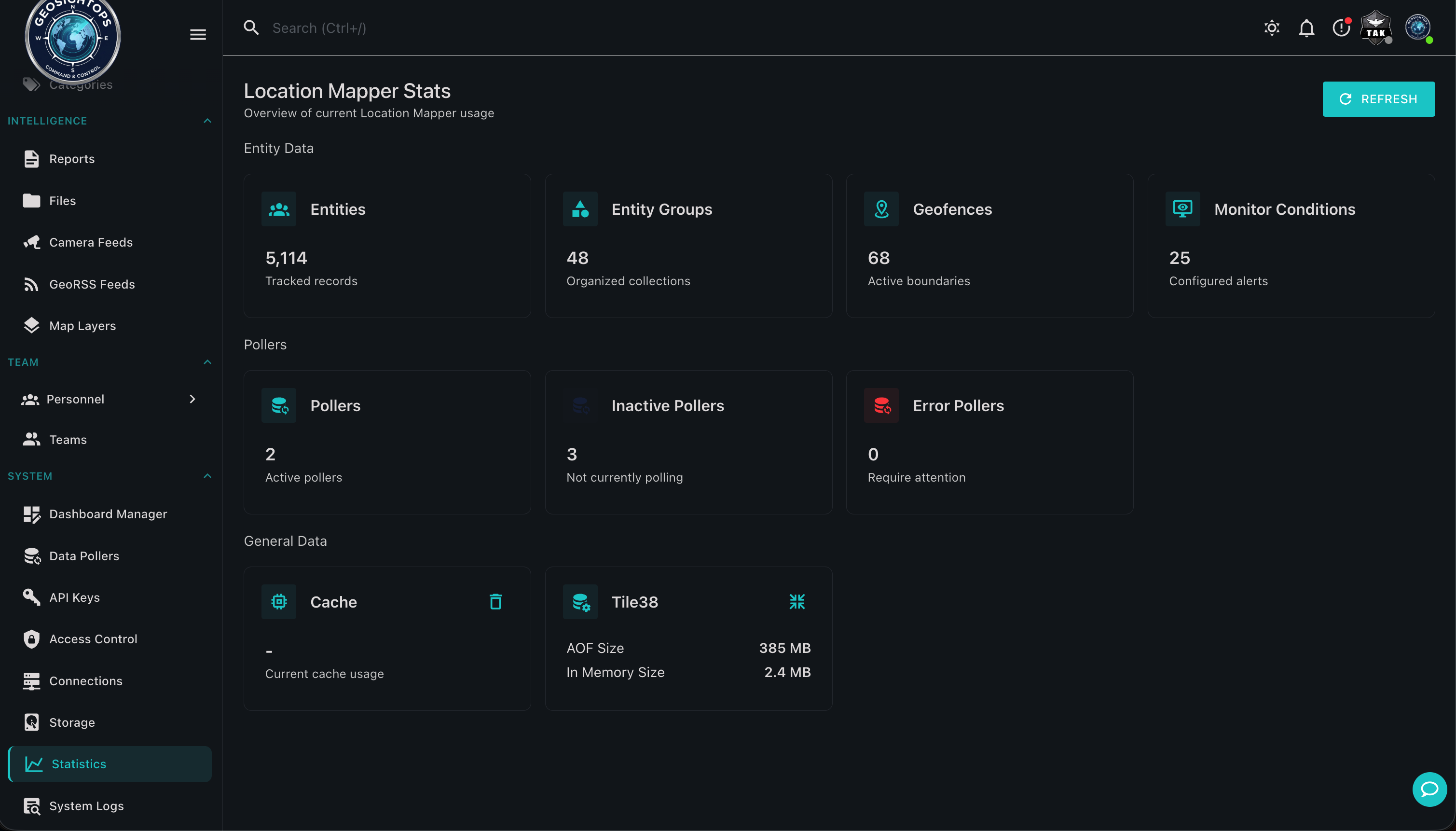
Rules, thresholds, and monitoring views from the GeoSightOps desktop product — full UI screenshots, not cropped panels.
Dashboard
Stats
Map actions

Monitoring dashboard

Rules, monitoring & response

Operators configure monitoring and act from the live GeoSightOps workspace.

  • Business rules and threshold-based alerting
  • Alerts via SMS, email, and push where configured
  • Geofencing with entry/exit awareness
Custom integrations via webhooks

Connect third-party systems through webhook configuration and the GeoSightOps API-first architecture — without replacing the tools you already run.

Ready to see GeoSightOps in action?

Schedule a live demo and we’ll show how incident workflows fit your systems.