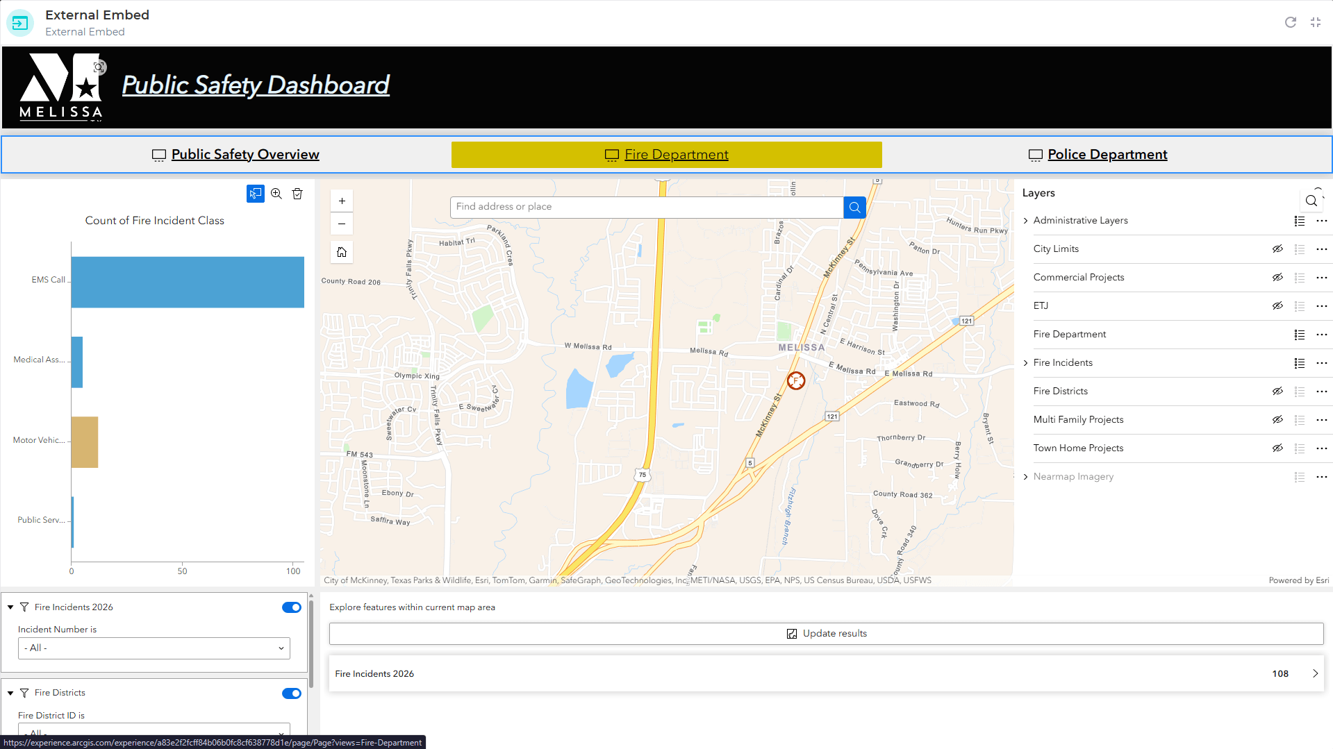
Public safety agencies — law enforcement, fire departments, EMS, and emergency management organizations — operate in complex, time-critical environments where the quality of situational awareness directly impacts outcomes.
GeoSightOps was built around NIMS ICS principles from day one, providing a platform that speaks the language of public safety operations.
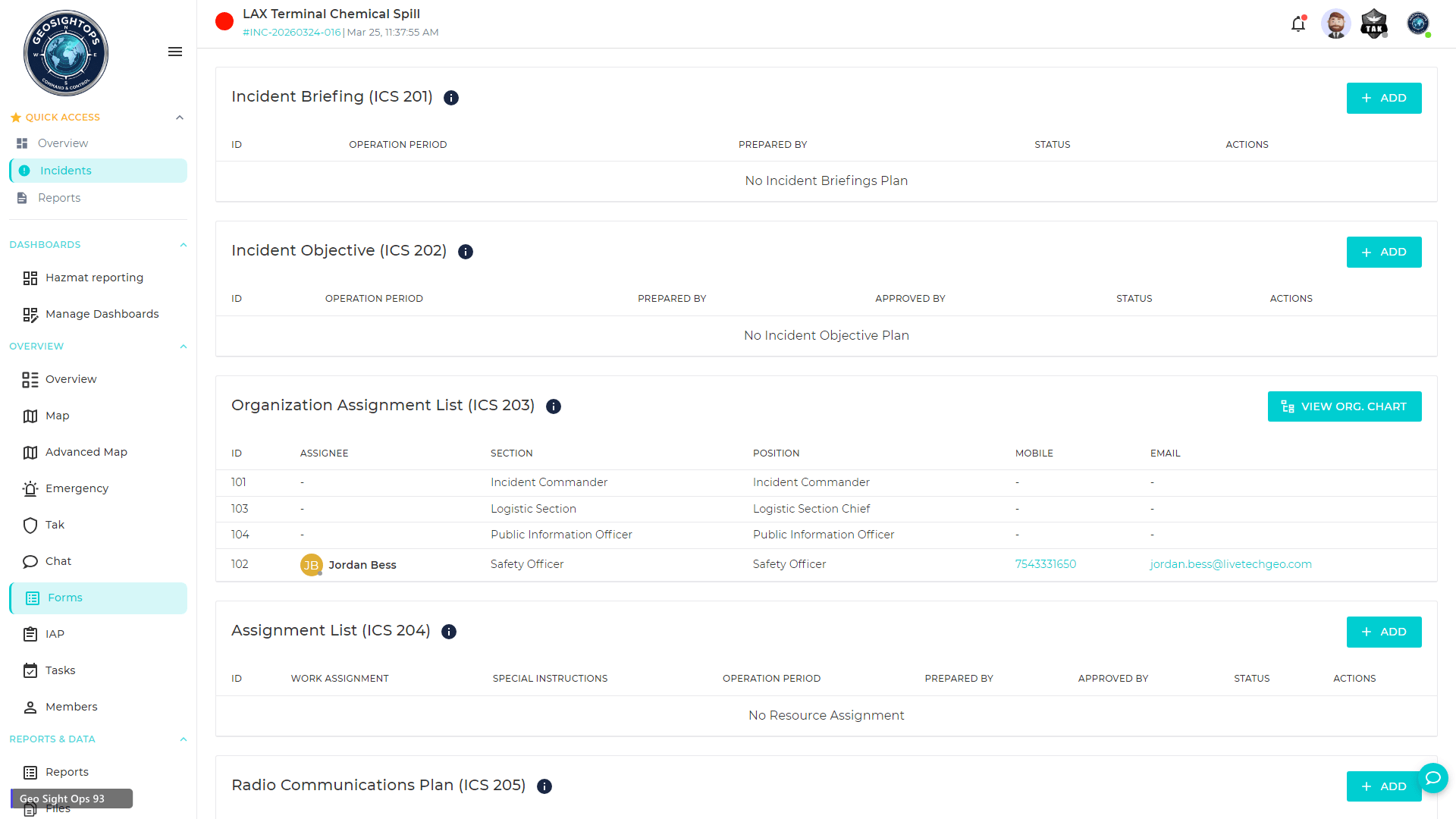
NIMS ICS-Compliant Incident Management
- All FEMA ICS forms built in — ICS 201 through ICS 221 — ready for immediate use
- Core Incident Action Plan (IAP) forms: ICS 202, 203, 204, 205, 206
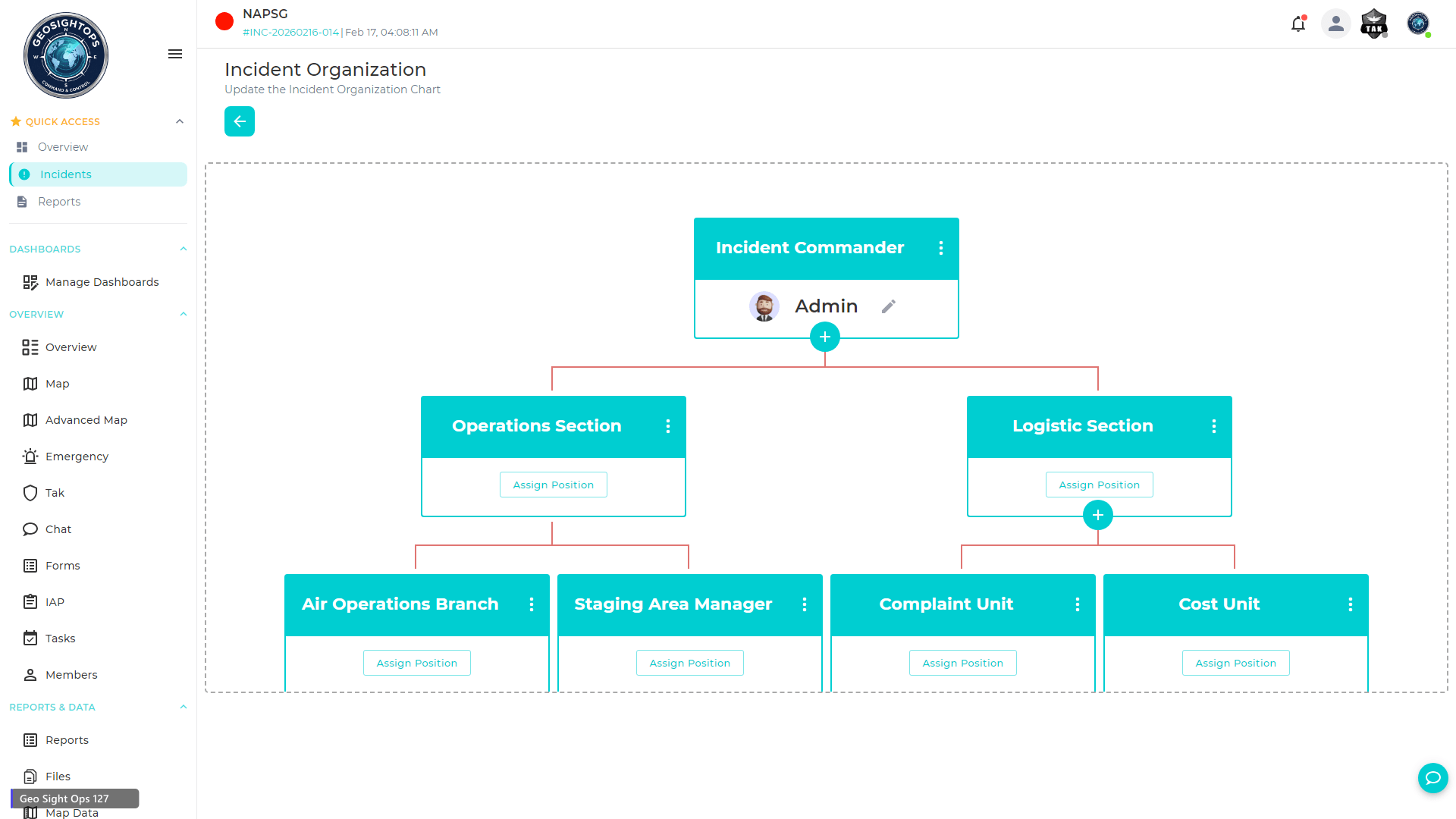
- Incident Command System organizational structure with role-based access
- Unified Command for multi-jurisdiction incidents
- Table of Organization visible to all authorized agencies
CAD & RMS Integration
- Bi-directional integration with Computer-Aided Dispatch (CAD) systems — incidents created in CAD appear on the GeoSightOps map and vice versa
- Records Management System (RMS) sync for incident documentation
- Nearest available unit finder based on real-time GPS positions
- Multi-agency dispatch and cross-jurisdiction resource coordination
Blue Force Tracking & Field Awareness
- Real-time Blue Force Tracking (BFT) for all deployed units — law enforcement, fire, EMS
- TAK ecosystem integration — ATAK, WinTAK, iTAK, and WebTAK for tactical field teams
- GPS tracking via mobile devices, hardware trackers, and vehicle-mounted units
- Geofencing alerts for units entering or exiting defined operational zones
- Speed monitoring and route history playback for accountability
Situational Awareness Tools
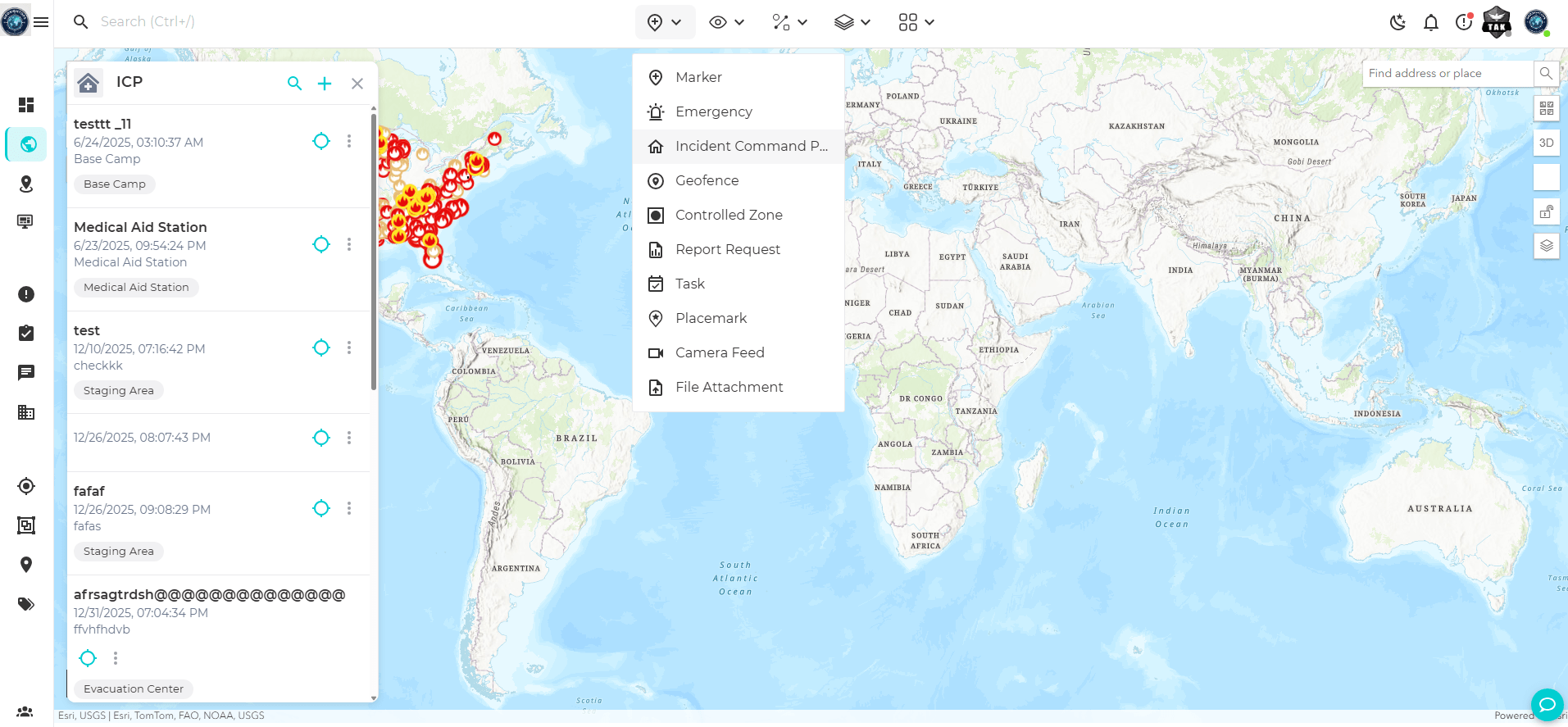
- Common Operating Picture (COP) with real-time data from CAD, RMS, IoT sensors, cameras, and field devices
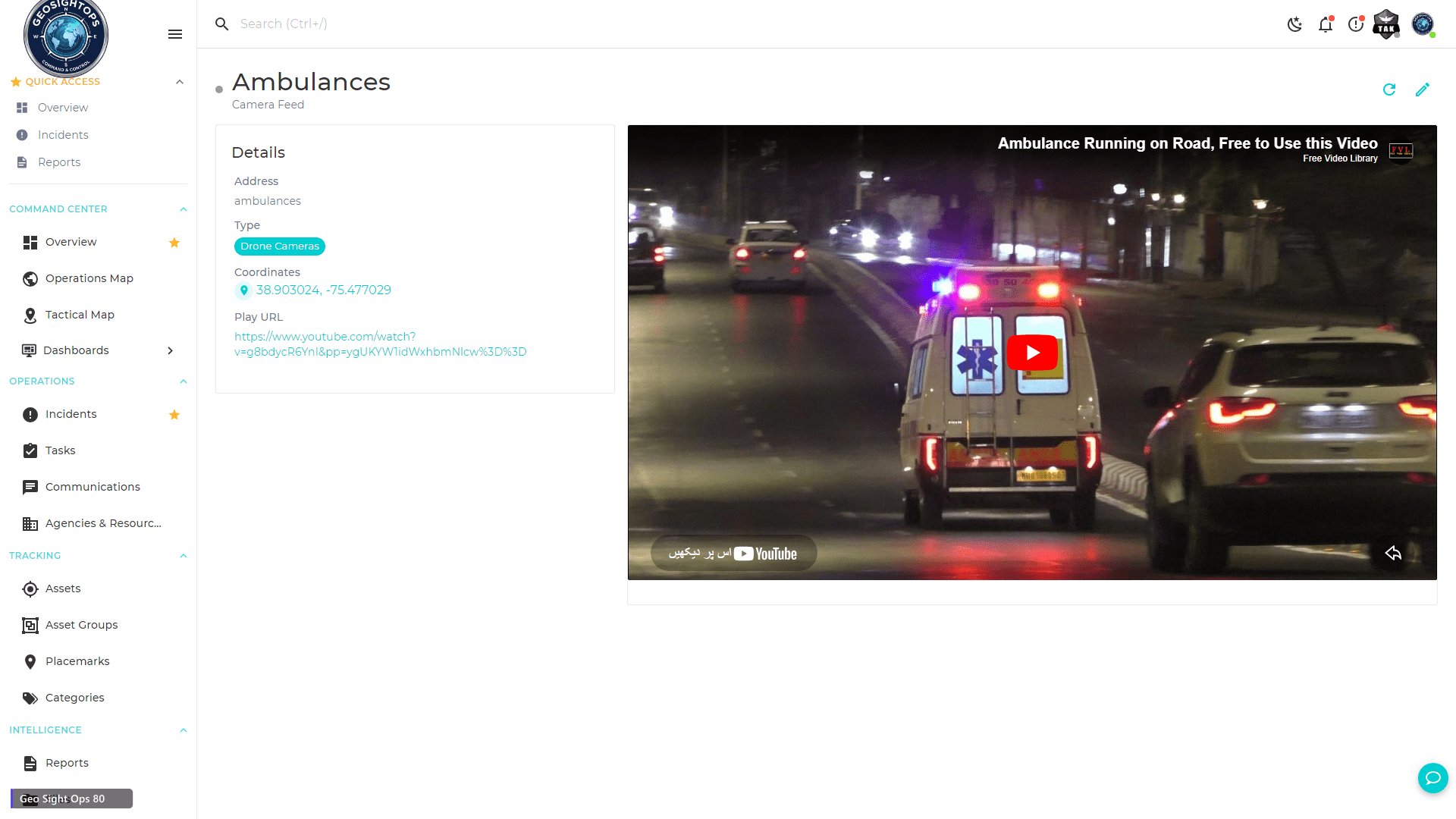
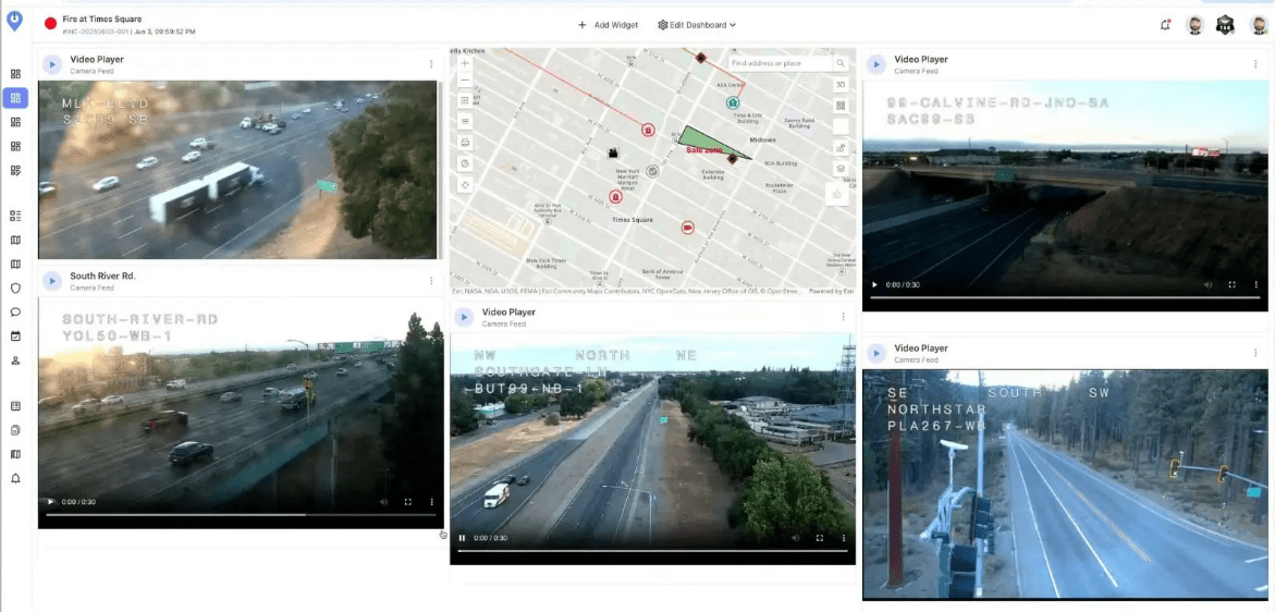
- Live video feeds from body cameras, drones, PTZ cameras, and mobile devices placed on the operational map
- AI-assisted form generation for rapid incident documentation
- Custom dashboards for EOC command, dispatch, and field coordination
Custom Integrations via Webhooks
GeoSightOps connects to your existing systems through its API-first architecture and webhook configuration —
enabling custom integrations with any third-party platform, data source, or application.
Platform Features Supporting This Solution
See GeoSightOps in Your Environment
We'll walk you through a live demo tailored to your CAD, ICS, field tracking, and multi-agency coordination needs.