Native TAK interoperability
Exchange CoT / TAK traffic with ATAK and WinTAK. Keep callsigns, routes, and markers synchronized with the GeoSightOps COP.
Connect ATAK, WinTAK, and TAK.gov workflows to GeoSightOps — one Common Operating Picture for tracks, chat, sensors, and live video.
Mission-ready field awareness — mesh, broadcast, and GeoNames layers into one operational picture.
Tactical Awareness Kit (TAK) puts maps, messaging, and blue-force tracking in the hands of field teams. GeoSightOps bridges those end-user devices into the command floor — so operators, analysts, and leadership share the same live truth without tool-switching.
Exchange CoT / TAK traffic with ATAK and WinTAK. Keep callsigns, routes, and markers synchronized with the GeoSightOps COP.
Extend awareness beyond cell coverage with satellite messengers, mesh paths, and resilient field links into the same operational picture.
Bring FMV, camera feeds, IoT pollers, and analytics alongside TAK tracks so confirmation and response happen in one workspace.
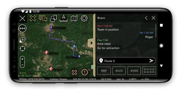
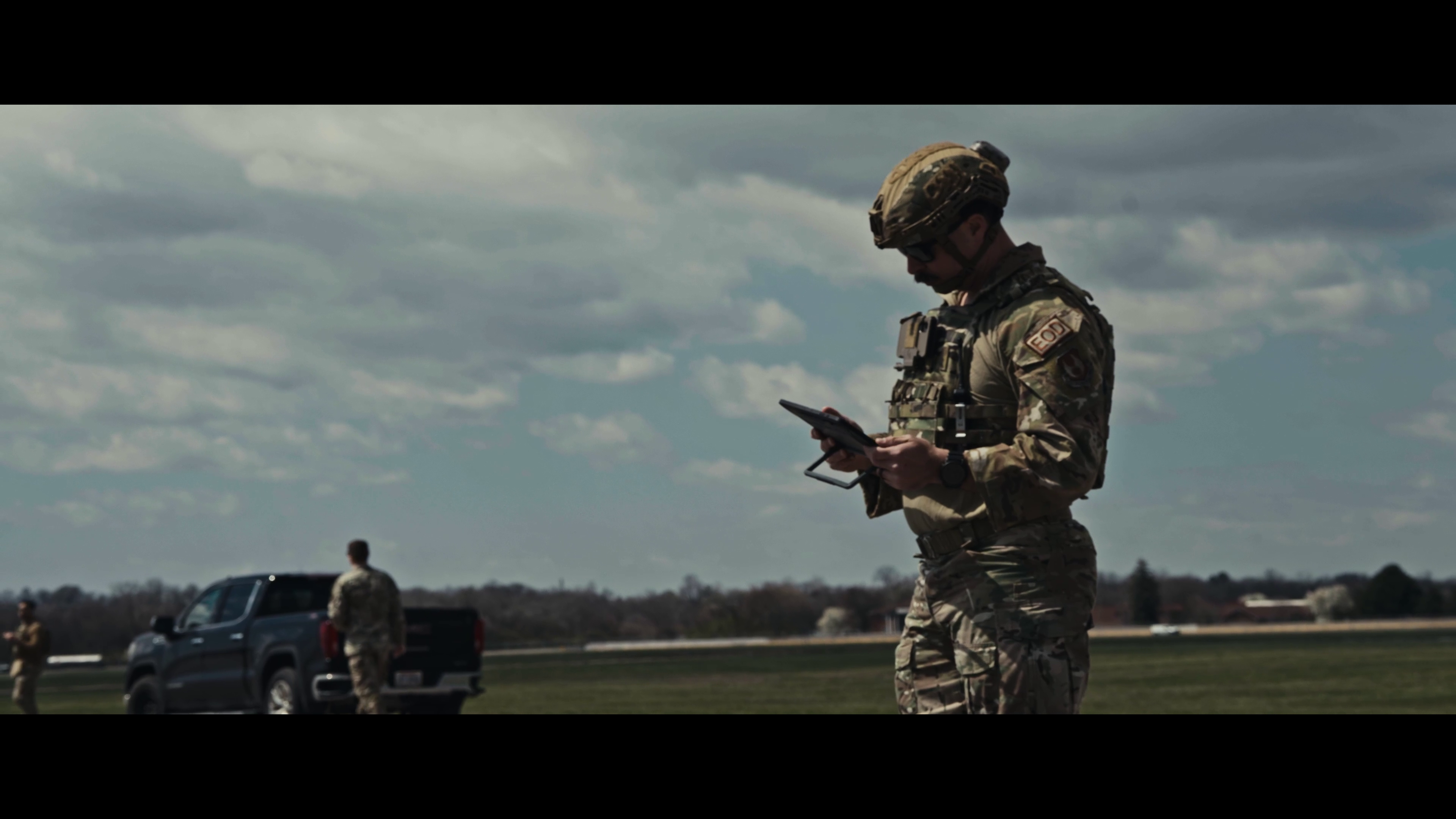
Rugged EUDs, chest-mounted awareness, and tablet COP views — the same data model from dirt to desk.
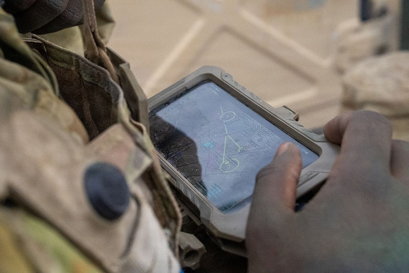
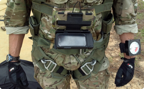
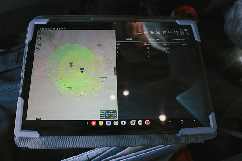
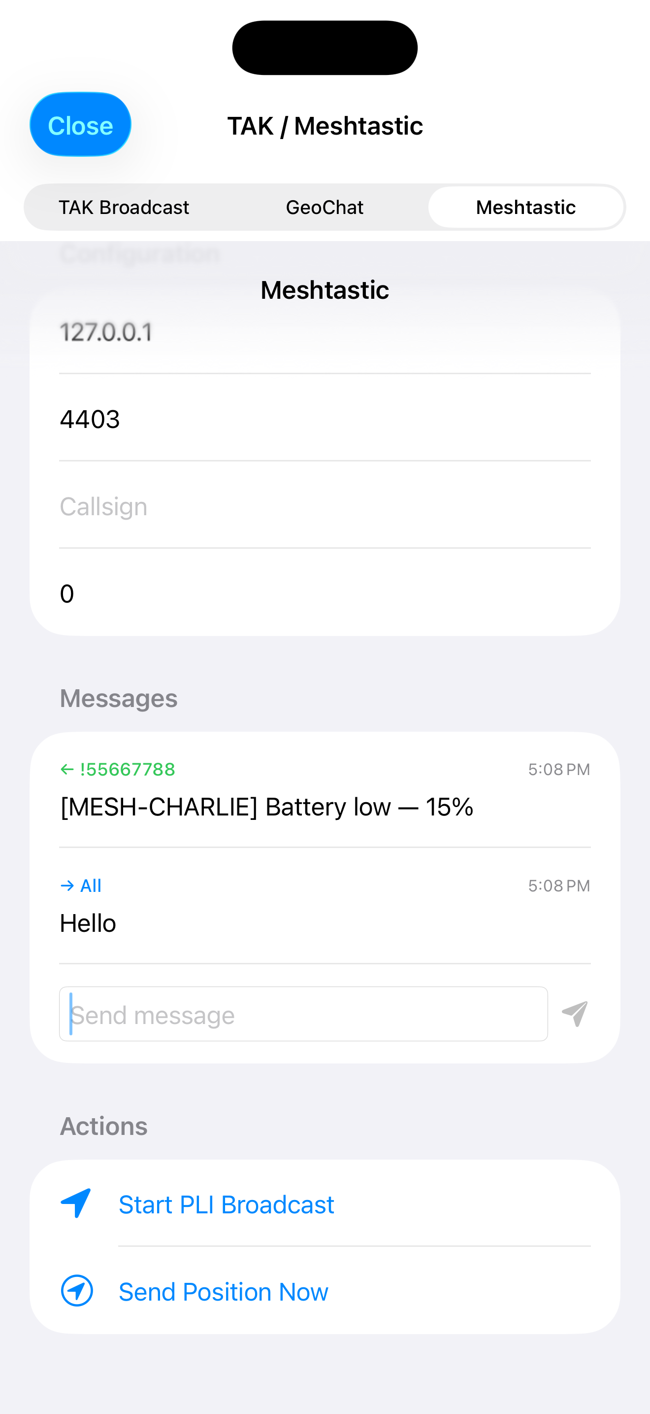
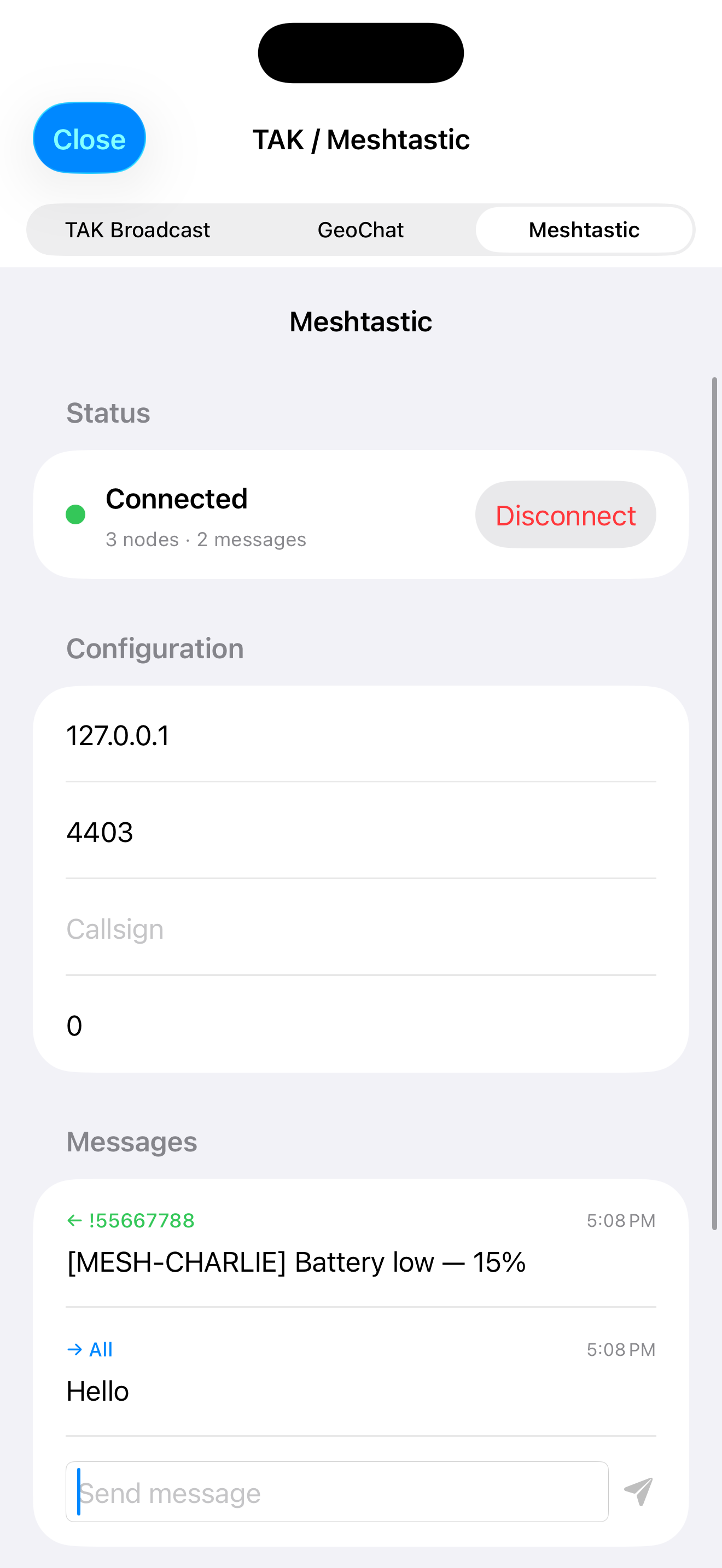
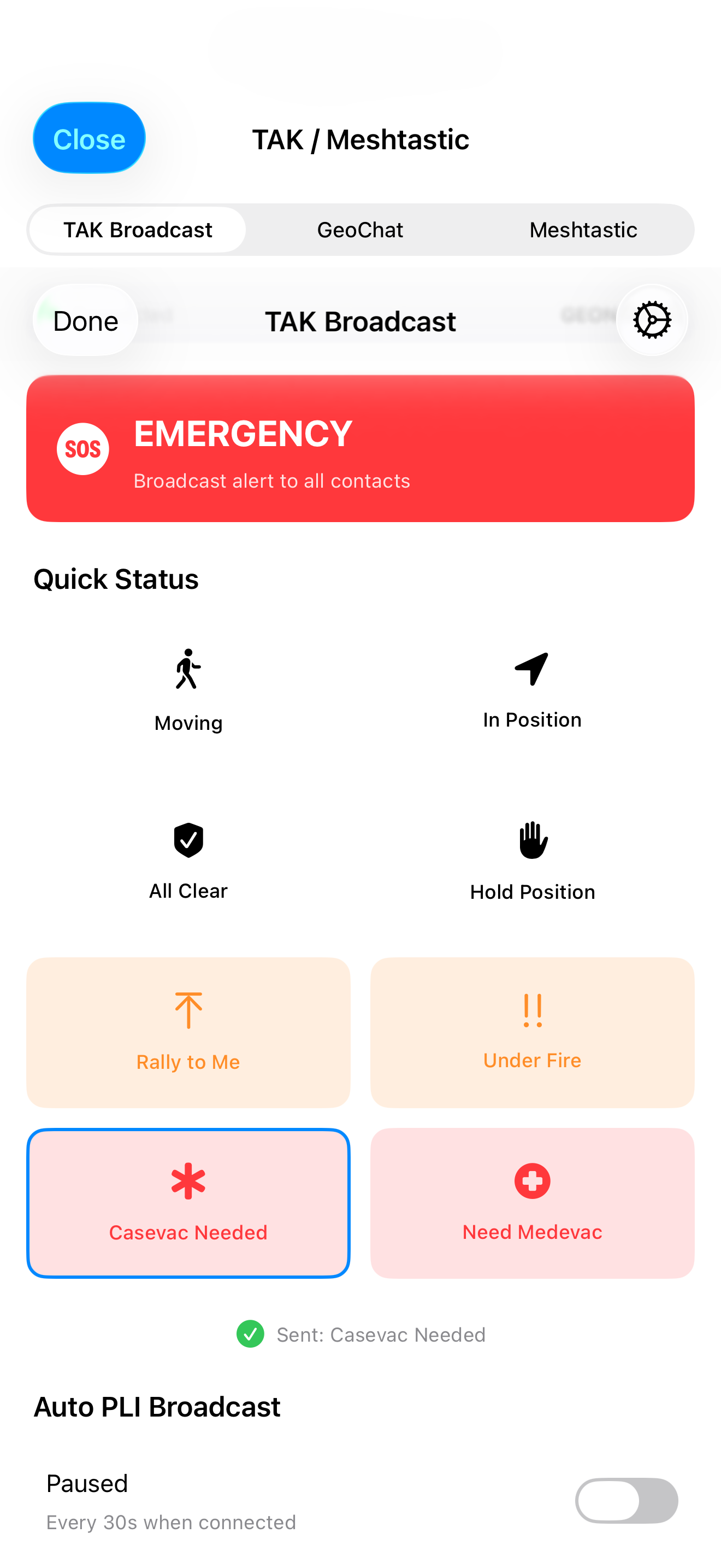
Mobile TAK / Meshtastic workflows and GeoNames map layers — broadcast, mesh messaging, placenames, and military symbology on the same operational picture.
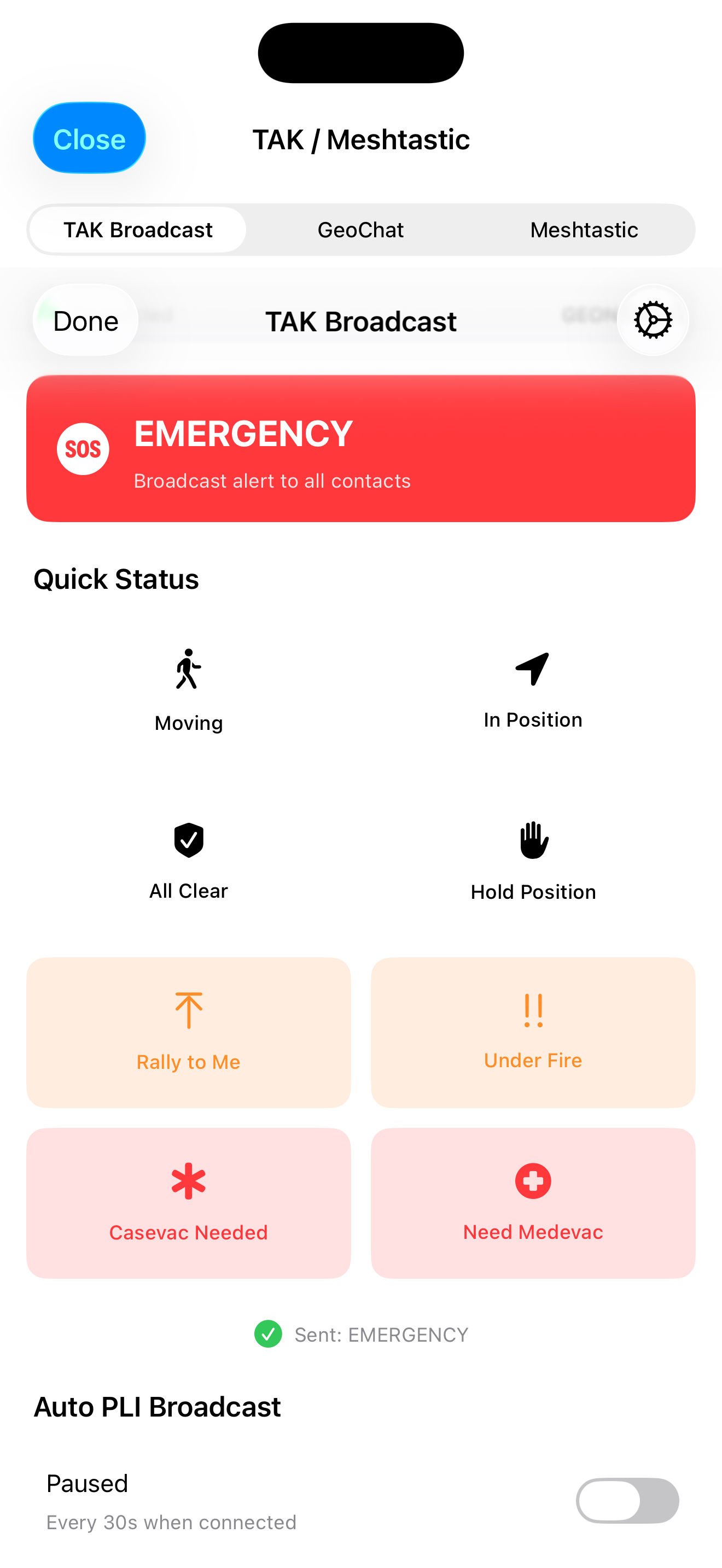
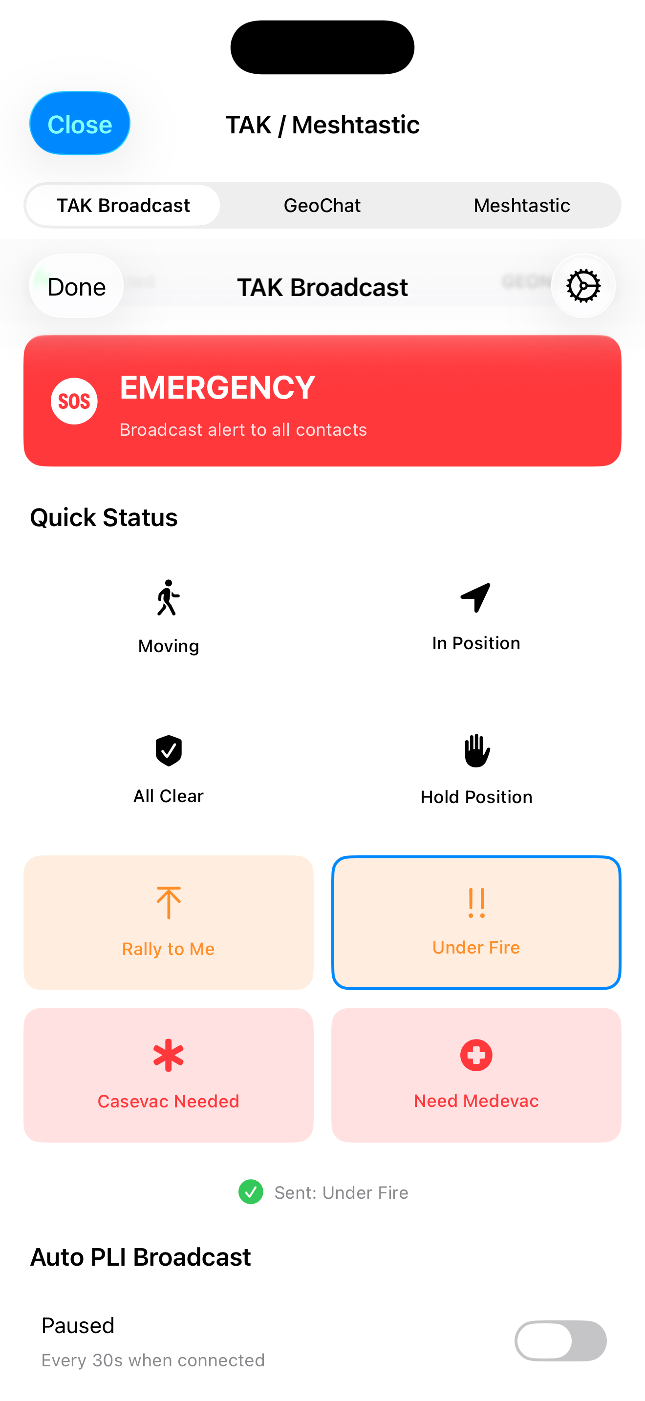
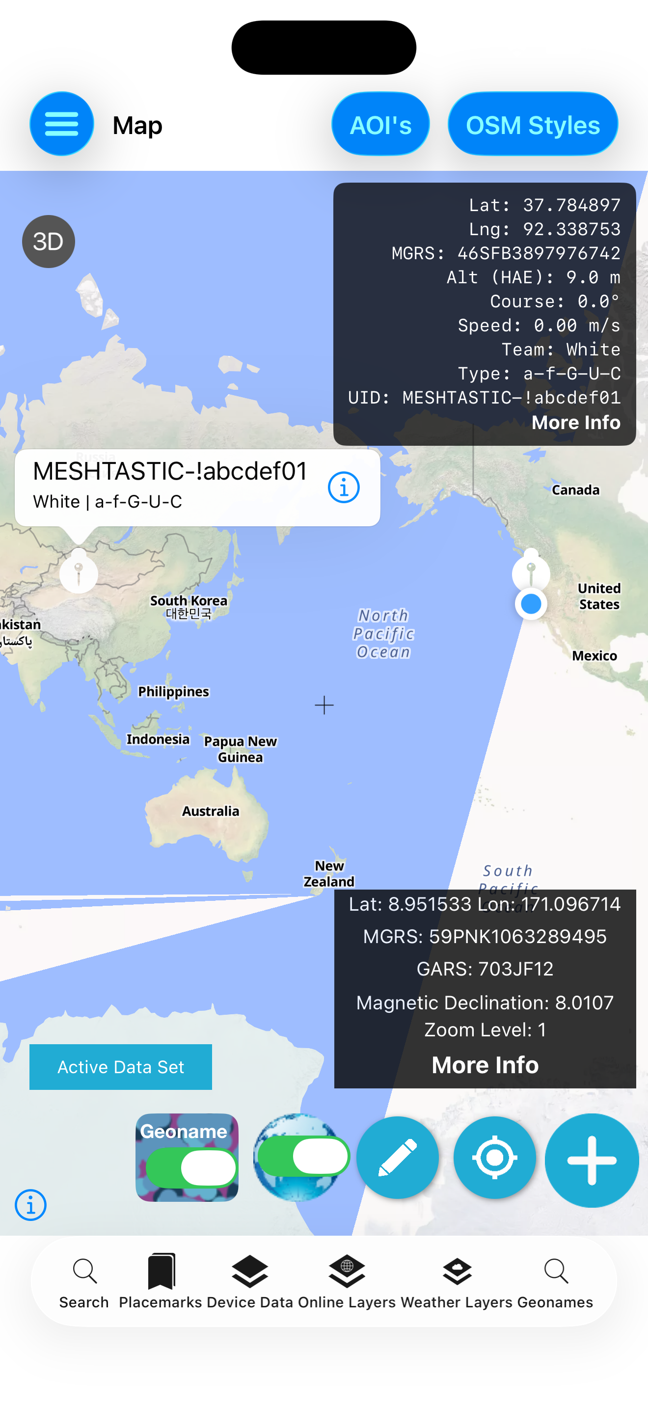
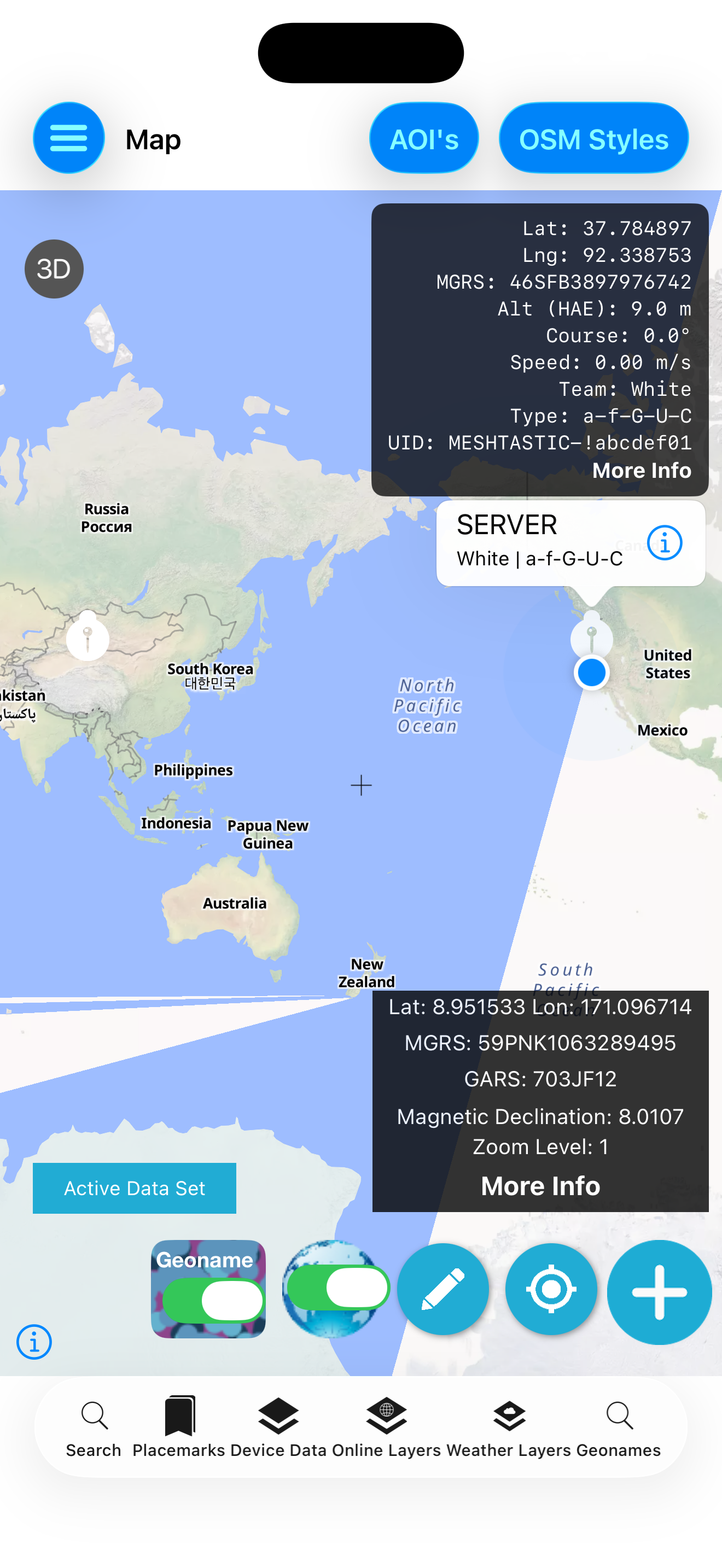
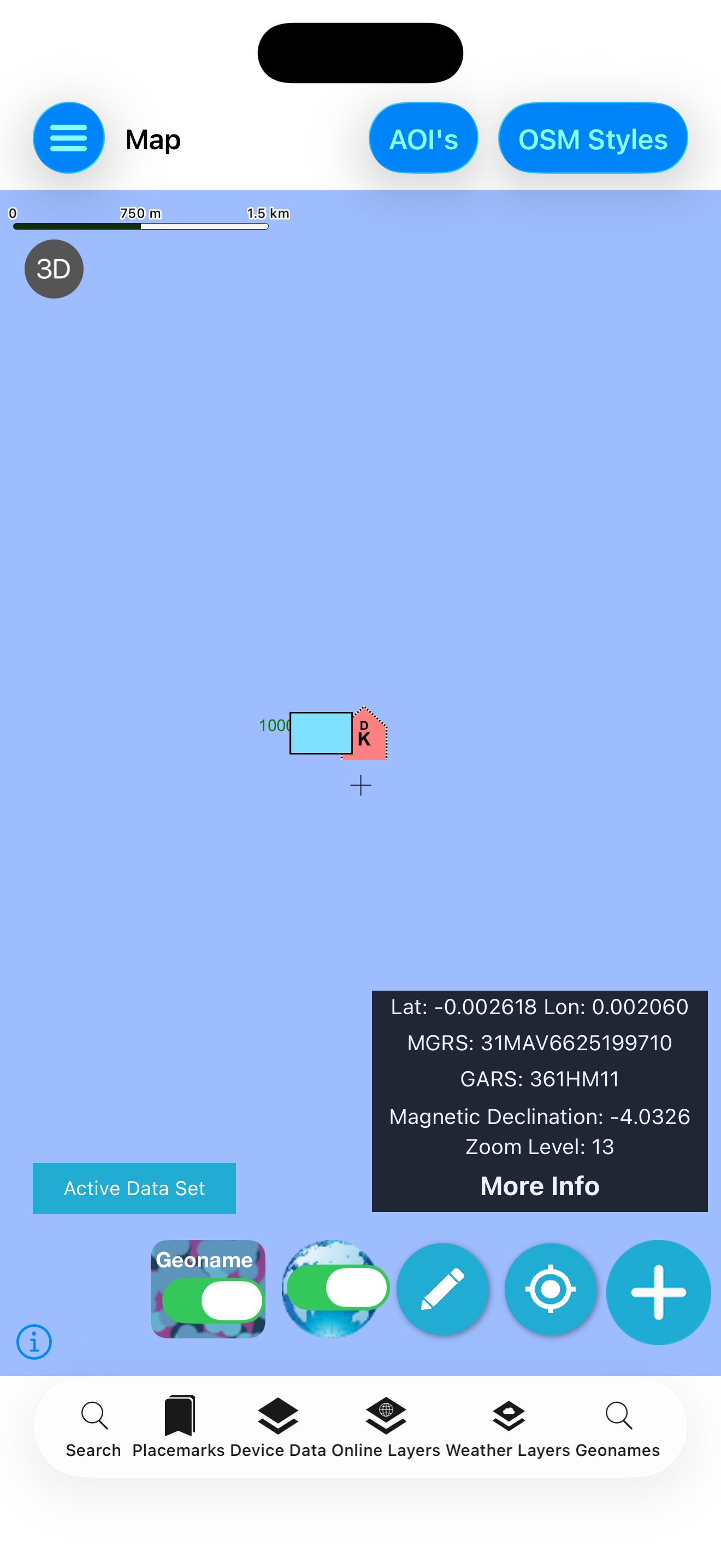
GeoSightOps workflows that pair with TAK field ops — tracking, analysis, pollers, and full-motion video. View full demo library →
GeoSightOps web command plus Field Sentinel iOS, Android, and Windows integration — and TAK end-user devices on the same operational fabric. Not sold as App Store / Play Store apps.
Feature
Deep dive on ATAK/WinTAK, satellite comms, and mesh support.
Feature
One map where every operator sees the same real-time truth.
Feature
GPS tracks, playback, and accountability for field teams.
Solution
Base defense and tactical COP workflows for defense customers.
Schedule a live demo and we’ll walk through ATAK/WinTAK integration, field tracking, and command-floor COP for your mission set.