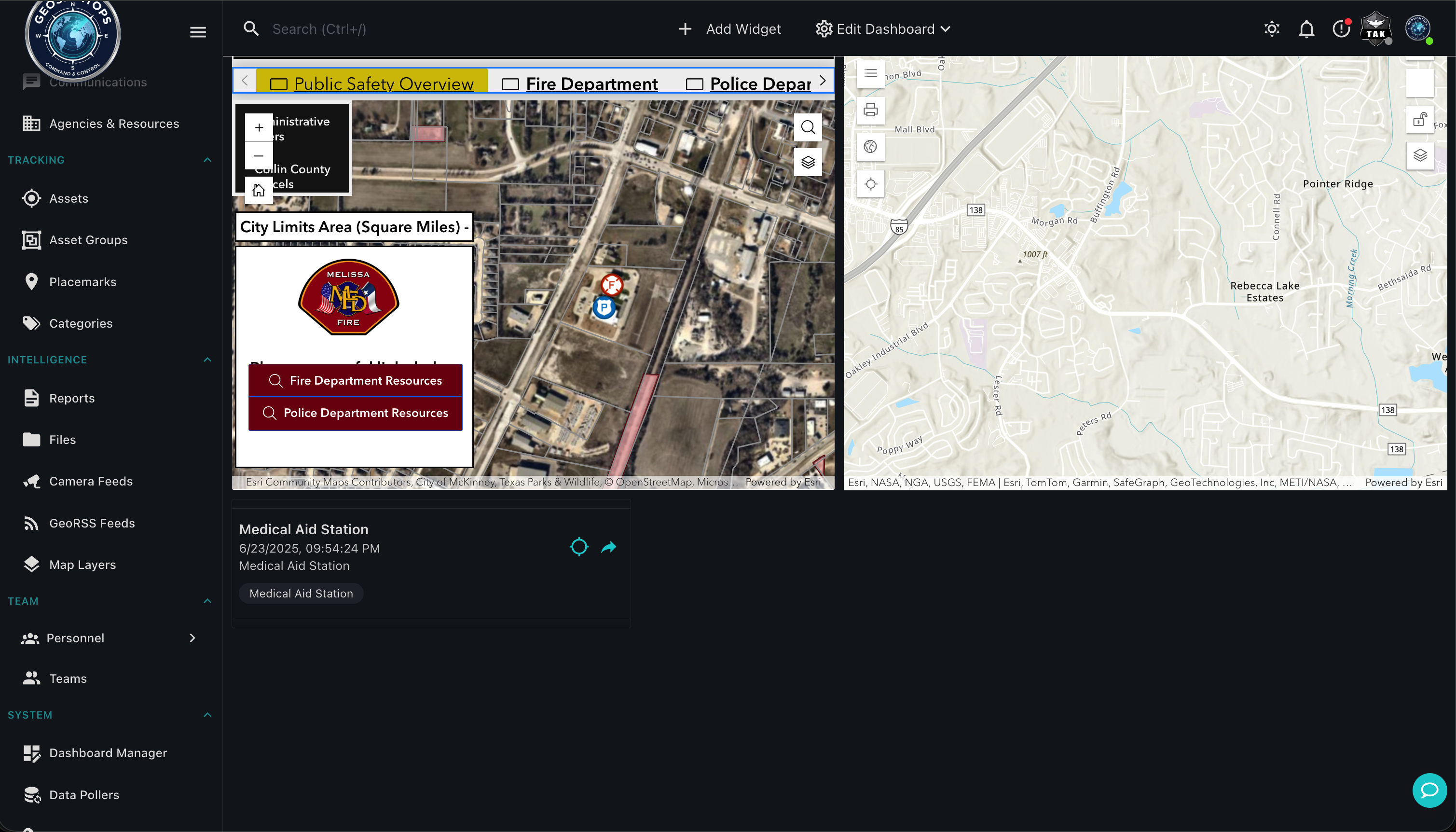
Port authorities face the constant challenge of managing vessel traffic, securing restricted zones, coordinating with multiple agencies, and responding to incidents — all in a dynamic, geographically complex environment. GeoSightOps provides a single, unified Common Operating Picture that integrates vessel tracking, sensor monitoring, incident management, and multi-agency communication into one platform.
Vessel Traffic & AIS Monitoring
- Real-time vessel tracking via Automatic Identification System (AIS) using Software-Defined Radio (SDR) receivers
- Vessel identification — IMO number, MMSI, vessel type, name, flag state, and dimensions
- Port activity monitoring — track arrivals, departures, anchorage activity, and berth occupancy
- Estimated time of arrival (ETA) monitoring for expected vessels
- Speed and course deviation alerts for vessels in restricted channels
- Historical vessel track replay for incident investigation
Port Security & Geofencing
- Draw geofenced security zones around restricted berths, fuel facilities, and critical infrastructure
- Automated entry/exit alerts for vessels, vehicles, and personnel crossing security boundaries
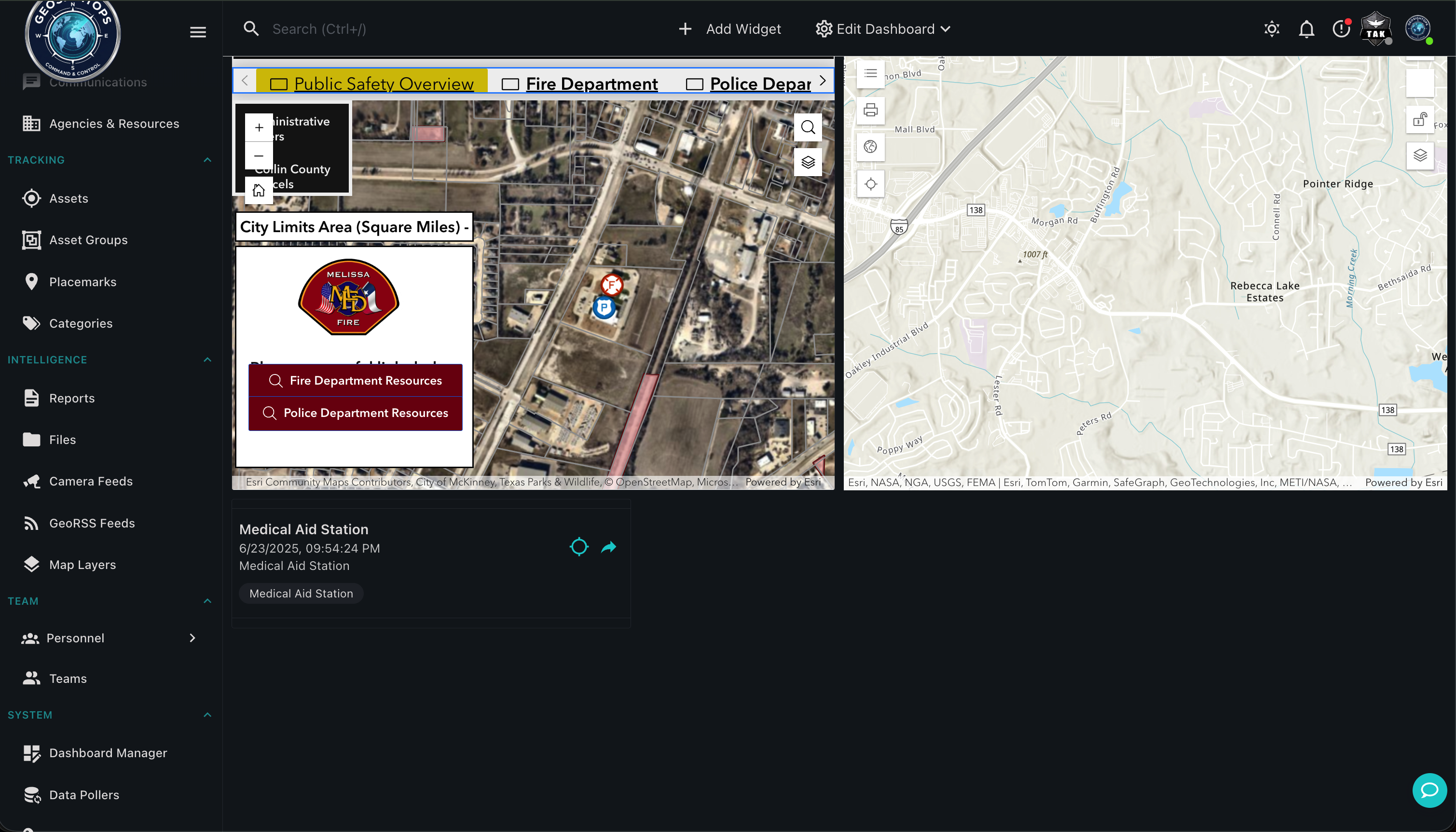
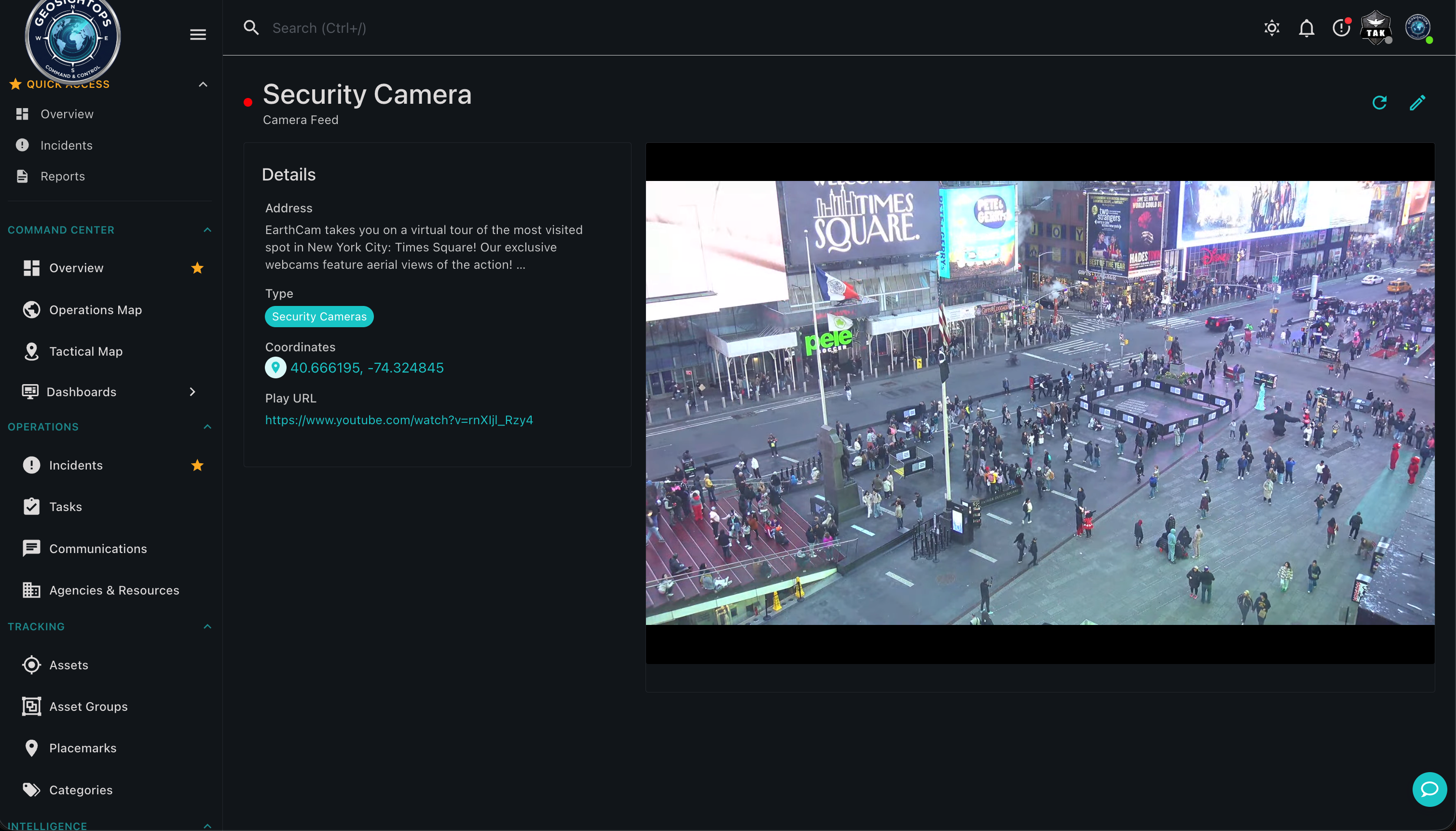
- Security camera feeds placed on the map at their physical location for rapid visual verification
- Perimeter monitoring with AI-powered video analytics for breach detection
- Integration with access control systems for gate and waterside access management
Multi-Agency Coordination
- Unified Common Operating Picture for port police, customs, harbor master, fire, and environmental response teams
- NIMS ICS-compliant incident management for port emergencies including vessel fires, chemical spills, and security incidents
- Real-time resource tracking — vessels, vehicles, responders, and equipment — visible to all authorized agencies
- Multi-agency dispatch and cross-jurisdiction communication via integrated messaging gateway
Yard & Berth Operations
- Real-time tracking of port vehicles including tugs, pilot boats, line-handling vessels, and heavy equipment
- Asset management for cranes, forklifts, containers, and port infrastructure
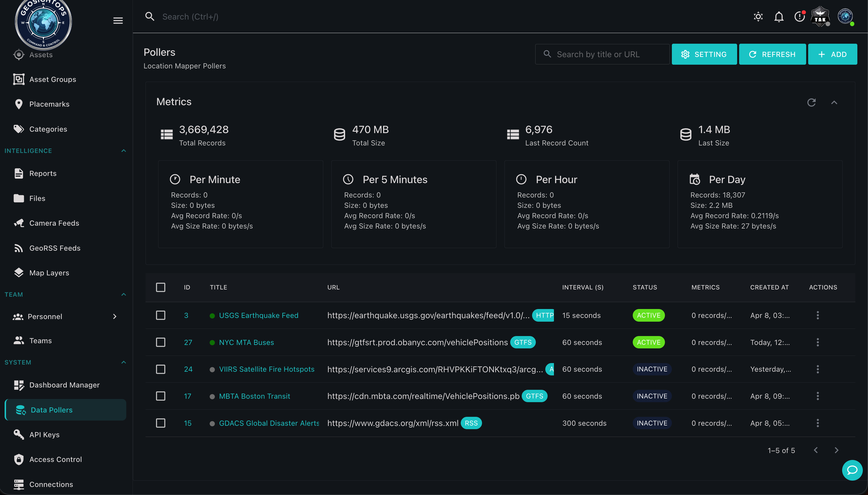
- IoT sensor integration for environmental monitoring, equipment health, and infrastructure status
- Custom dashboards for harbor master operations, security control, and maintenance teams
Custom Integrations via Webhooks
GeoSightOps connects to your existing systems through its API-first architecture and webhook configuration —
enabling custom integrations with any third-party platform, data source, or application.
Platform Features Supporting This Solution
See GeoSightOps in Your Environment
We'll walk you through a live demo tailored to your operational context and existing systems.