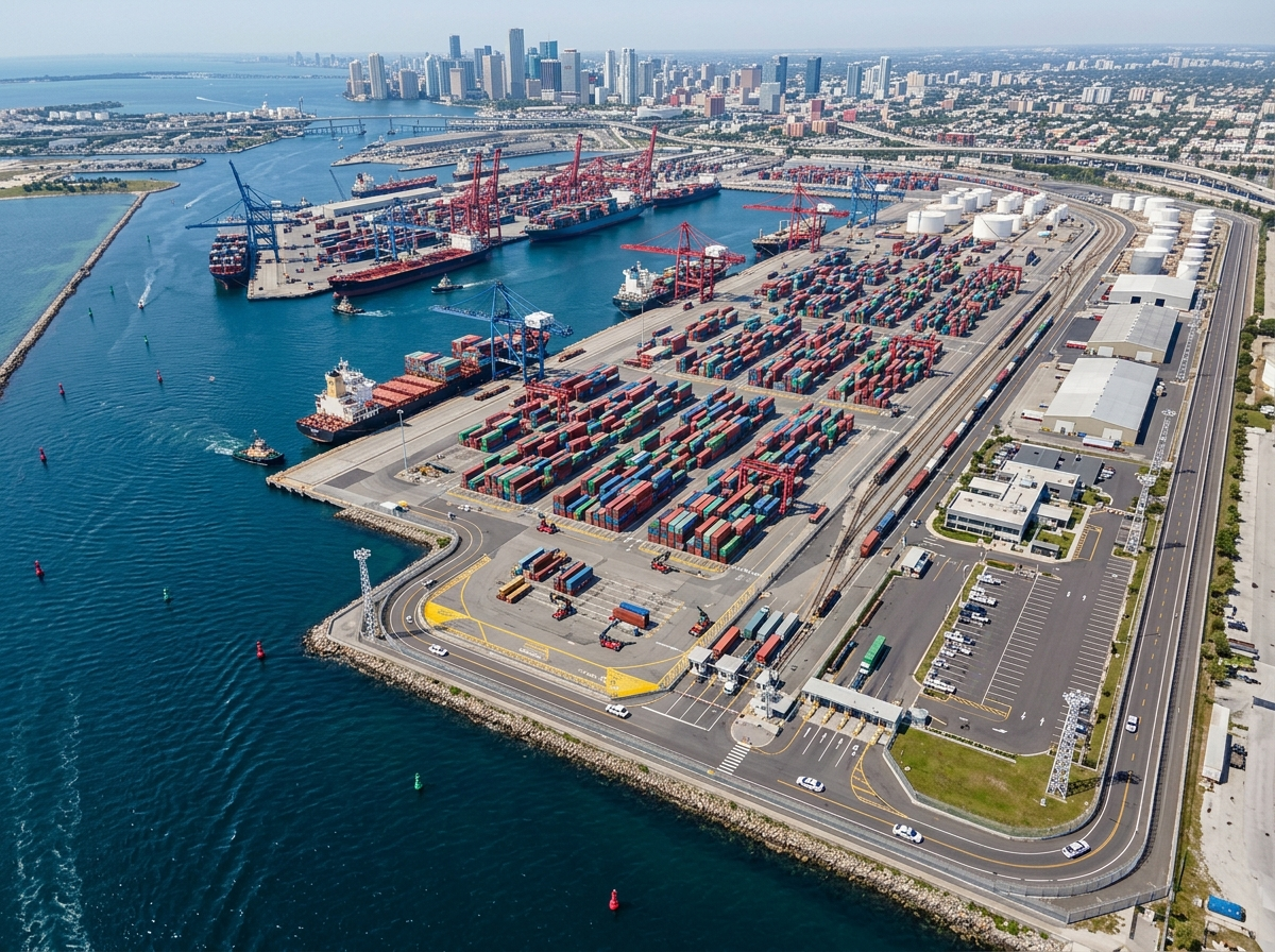
GeoSightOps brings live AIS vessel feeds onto the operational map — identity, course, speed, and zone context for port authorities and maritime security teams. Pair vessel tracks with CCTV, sensors, and incident workflows in one COP.
Live AIS Feeds
- Ingest live AIS vessel positions and identity attributes
- Filter by vessel type, destination, or operational zone
- Display tracks alongside shore assets, cameras, and incidents
Zones & Alerts
- Restricted-area and channel geofence alerts for vessel movement
- Watchlists for vessels of interest and anomaly flags
- Escalate alerts into Smart Monitoring and incident management
Port Operations Context
- Support berth, anchorage, and harbor traffic awareness
- Coordinate with Port Authorities solution workflows
- Share a single picture across harbor security and operations staff
Why It Matters
- Maritime awareness stays on the same map as landside security
- Faster recognition of unexpected vessel behavior near critical facilities
- Improves joint response between port ops, public safety, and partners
Custom Integrations via Webhooks
GeoSightOps supports custom integrations with any third-party system through webhook configuration and its API-first architecture. Connect your existing tools without replacing them.
Ready to see GeoSightOps in action?
Schedule a live demo and we’ll show you exactly how GeoSightOps supports your operation.